
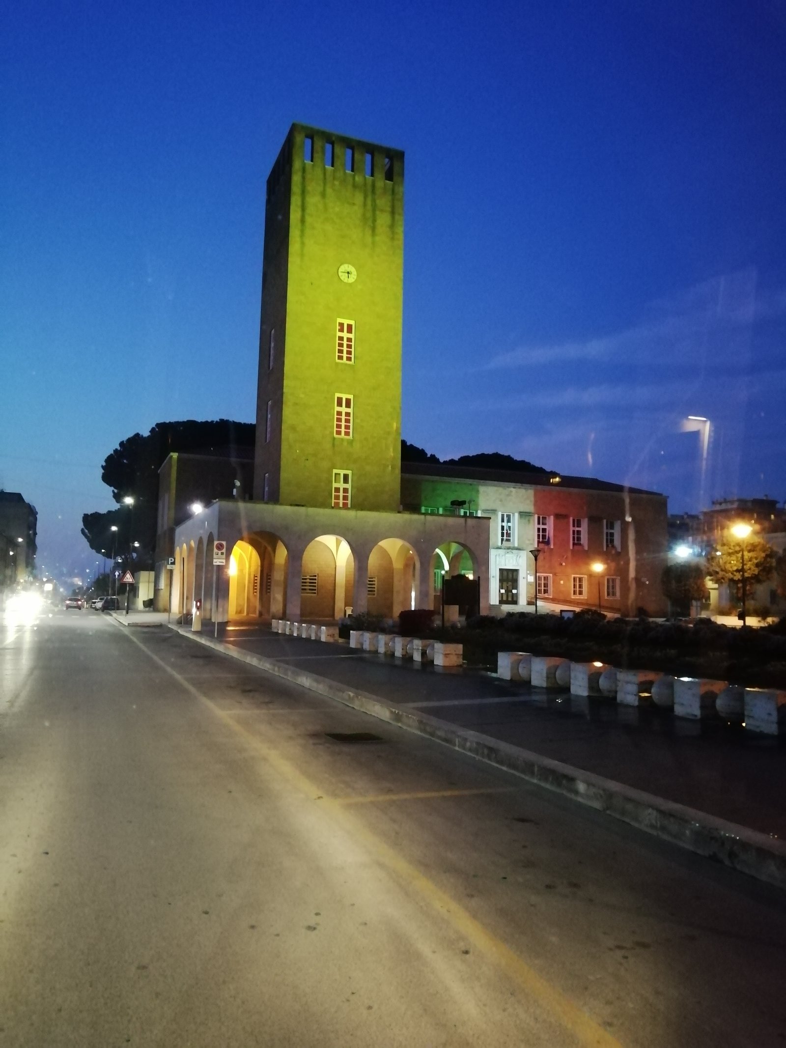
The final città di fondazione of the Pontine reclamation, designed by the 2PST team after a 1937 competition and inaugurated in October 1939, on land tied by myth to ancient Lavinium.
At a glance
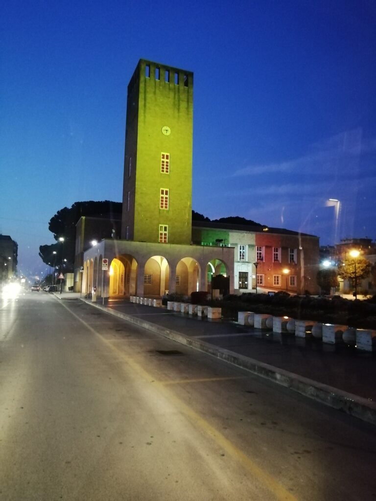
Pomezia is the fifth and last of the new towns planted on the drained Agro Pontino in the late 1930s, after Littoria, Sabaudia, Aprilia and Pontinia. The master plan was won in October 1937 by four architects working as a team — Concezio Petrucci, Emanuele Filiberto Tufaroli, Filiberto Paolini and Riccardo Silenzi, signed together as 2PST. The symbolic first stone was laid on 25 April 1938; the town was officially established on 27 July 1938 and inaugurated on 29 October 1939. The layout converges on a single civic square, Piazza Indipendenza, around which the Torre Civica, the town hall and the parish church define the rationalist core that survived heavy WWII bombing.
Key facts
- Master plan: 2PST team — Petrucci, Tufaroli, Paolini, Silenzi (1937 competition)
- First stone: 25 April 1938
- Founded: 27 July 1938
- Inaugurated: 29 October 1939
- Status: Fifth and last città di fondazione of the Agro Pontino
- Civic core: Piazza Indipendenza, Torre Civica, Palazzo Comunale, Chiesa di San Benedetto Abate
- Region: Lazio, Province of Rome, near ancient Lavinium
History
The competition for Pomezia opened on 1 October 1937, the last in the cycle of Pontine foundations. The brief called for simple lines and Italian building materials in the rural fascist register, with a street plan modelled on the antichi borghi contadini — the old farming villages — so that main roads converge on a central square. The 2PST team won. The symbolic first stone was laid on 25 April 1938, the town was officially established on 27 July 1938, and the first buildings were inaugurated on 29 October 1939, the seventeenth anniversary of the March on Rome.
Then came the war. Between the Anzio landings on 22 January 1944 and the liberation of Rome on 4 June 1944, the territory sat on the front line and was repeatedly bombed. Several of the original rationalist landmarks, including the Torre Civica, had to be reconstructed after the conflict. From 1955 the Cassa per il Mezzogiorno channelled industrial funding into the area, and Pomezia shifted from agricultural new town to one of the largest manufacturing hubs in central Italy, its population growing far beyond the original 2PST footprint.
What you see
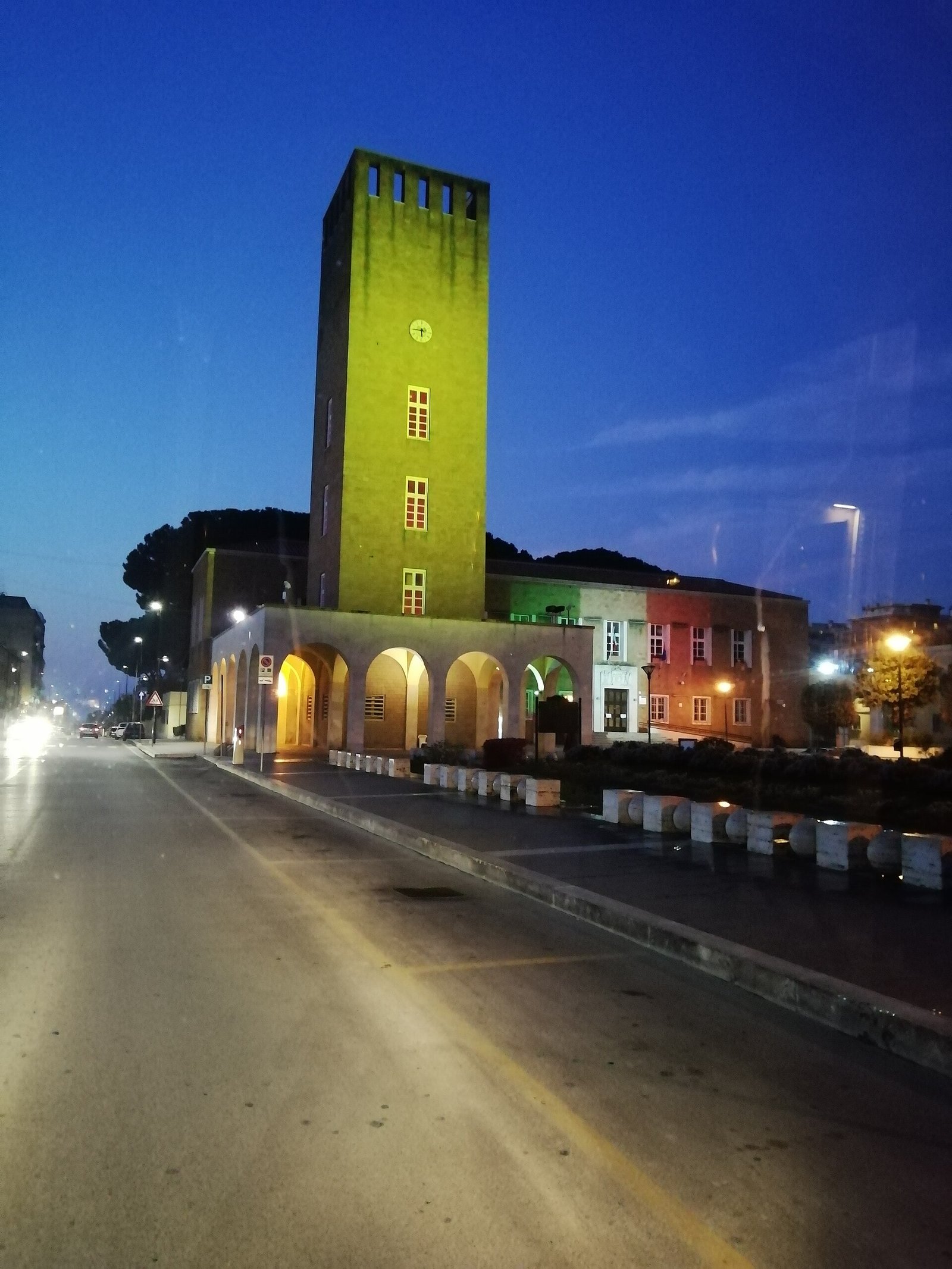
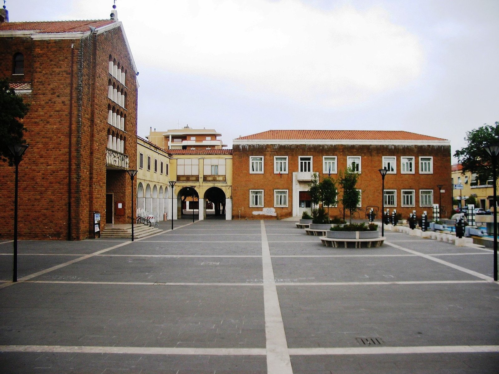
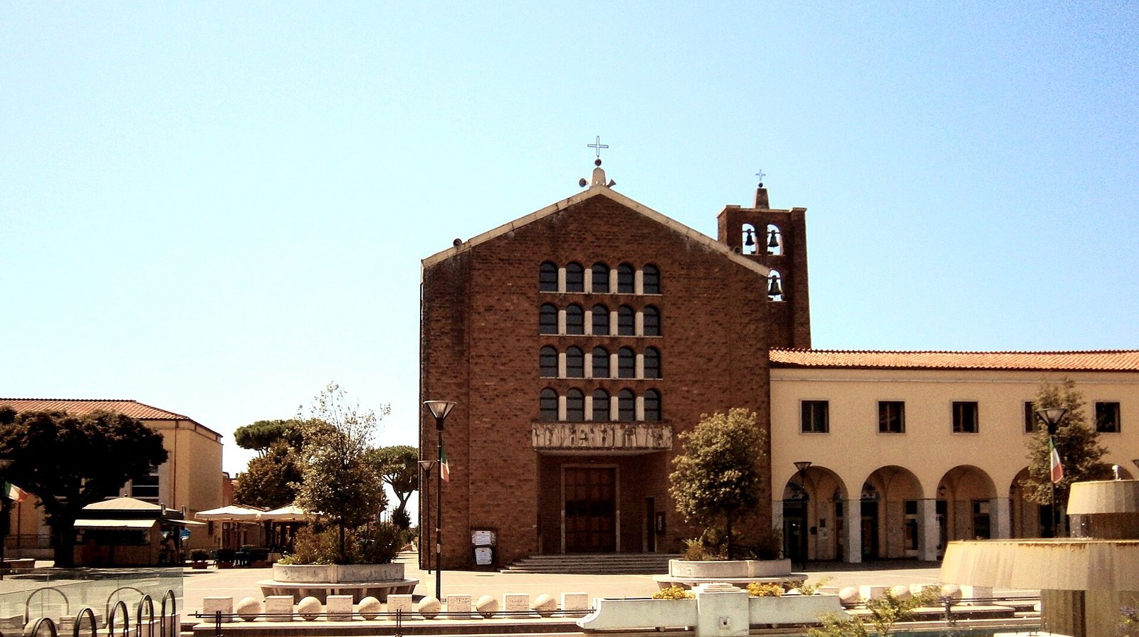
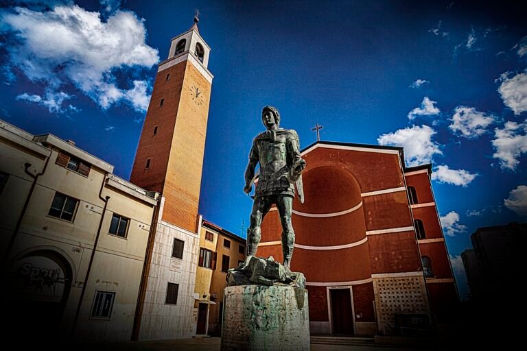
The civic heart is Piazza Indipendenza, originally Piazza dell’Impero. The Torre Civica rises over the square as the vertical signal of the town, flanked by the low arcades and clean volumes typical of late rationalist civic architecture in the Agro Pontino. The Palazzo Comunale closes one side; the parish church of San Benedetto Abate anchors another. The vocabulary is the same family as Sabaudia and Littoria — flat travertine surfaces, plain rectangular openings, no historicist ornament — but at Pomezia it is read through the lens of post-war reconstruction, since several elements were rebuilt after 1944.
Walking out from the square, the radial streets follow the borgo contadino plan: short, straight, dimensioned for foot and cart rather than for motor traffic. The 1930s core is now embedded inside the much larger industrial and residential city that grew after 1955, so the rationalist plan reads as a quiet civic enclave rather than as the whole town.
Practical information
- Open: Piazza Indipendenza and the civic core are public space, accessible at any time.
- Best season: spring and autumn; summer light flattens the rationalist surfaces.
- Time needed: 1 to 2 hours for the historic core; half a day with nearby Lavinium / Pratica di Mare.
- Tip: visit on a weekday morning to see the square as a civic space, not a parking lot.
Getting there
Pomezia sits about 30 km south of Rome on the Via Pontina. From Rome the most direct option is the COTRAL bus from the EUR Magliana metro hub; by car, the Pontina runs straight to the town. The nearest train station, Pomezia-Santa Palomba, is on the Roma-Nettuno line and is about 5 km from Piazza Indipendenza, connected by local bus.
Nearby
- Pomezia Founded Town Walk — the curated itinerary, with map and GPX.
- Pomezia, 1939 — the dedicated magazine article by Stefano Vigolo.
- Casa Comunale and Torre Civica — the 2PST civic centrepiece of 1938–39.
- Palazzo delle Poste e Telegrafi — the post office of the founding ensemble.
- Pratica di Mare and the archaeological area of ancient Lavinium (about 5 km)
- Castel Porziano and the Roman coast
- Sabaudia and the other Pontine new towns, for a comparative reading of 1930s rationalism
Image gallery
Sources
Find it on the map
See this place and what’s around it →Record researched and written by Stefano Vigolo for Cultural Heritage Online, 2026.

📷 Become a Cultural Heritage Online photographer
Share your photos of places: they stay published under your name as the author. The more they're seen, the more you get noticed — and soon a contest will reward the most appreciated photos.
Log in or sign up free to add a photo