
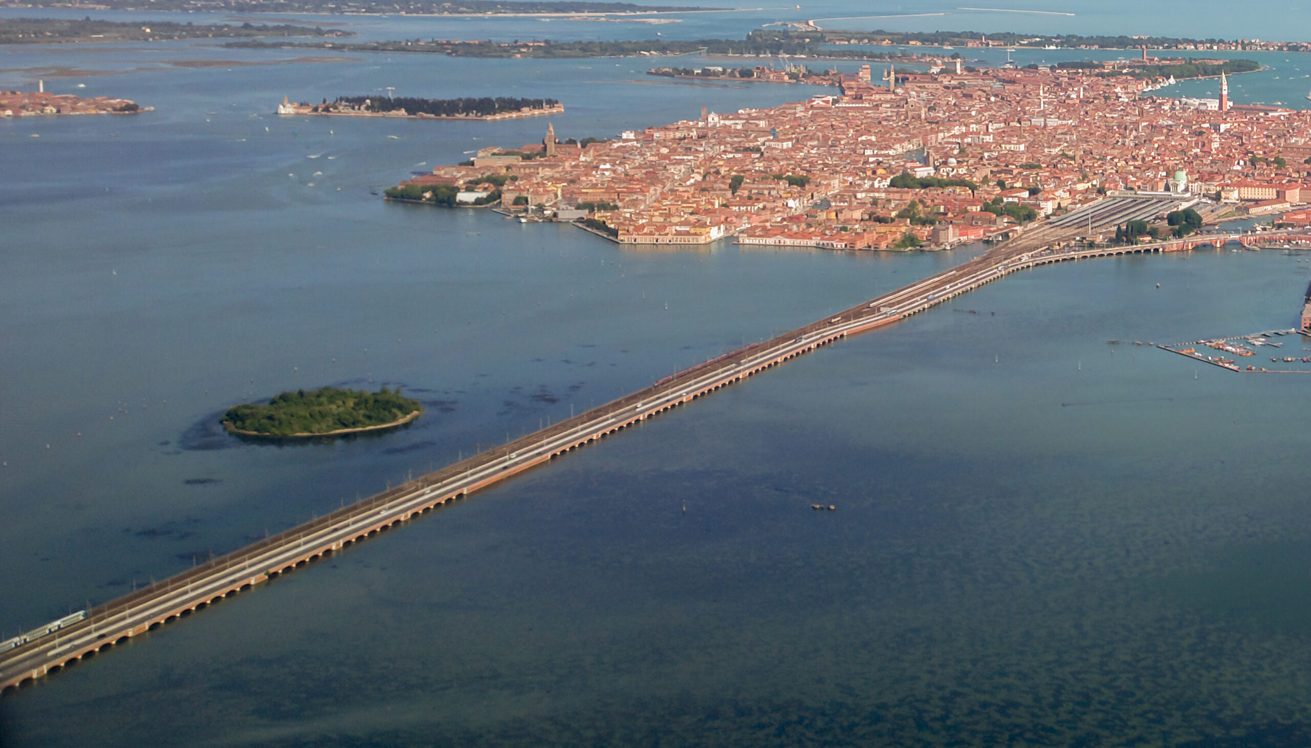
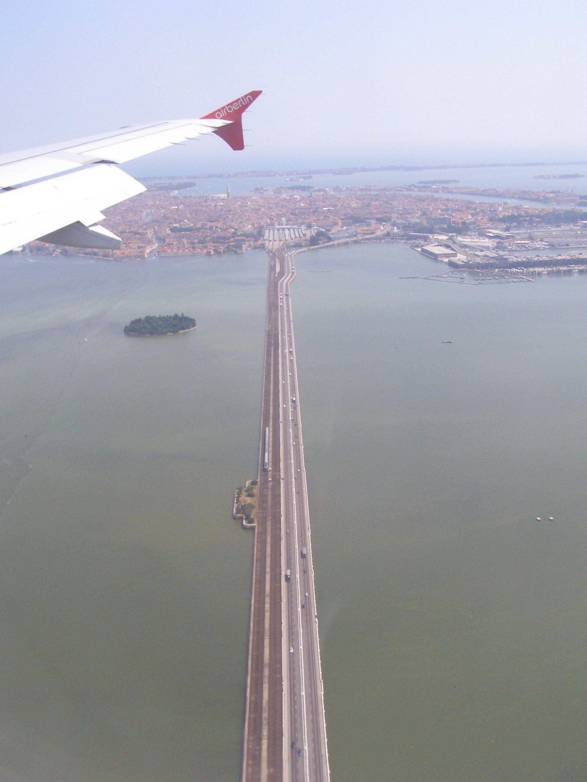
The Ponte della Libertà is the 3.85-kilometre road causeway that links mainland Mestre to the historic islands of Venice across the lagoon. Designed by engineer Eugenio Miozzi and inaugurated on 25 April 1933 as Ponte Littorio, it was renamed Ponte della Libertà at the end of the Second World War to mark the fall of the Fascist regime. It remains the only vehicular access to Venice’s centro storico, terminating at the Piazzale Roma bus and car terminal.
- Address
- Strada Ponte della Libertà, between Mestre and Venezia
- Period
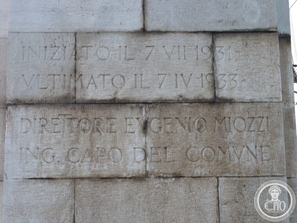
- Works begun 7 July 1931 and completed 7 April 1933, as carved on the bridge; inaugurated 25 April 1933 as Ponte Littorio; renamed Ponte della Libertà at the end of World War II
- Architect
- Eugenio Miozzi (1889–1979), engineer in chief of the Comune di Venezia
- Function
- Road bridge connecting mainland Mestre and Marghera to the historic islands of Venice
- Current use
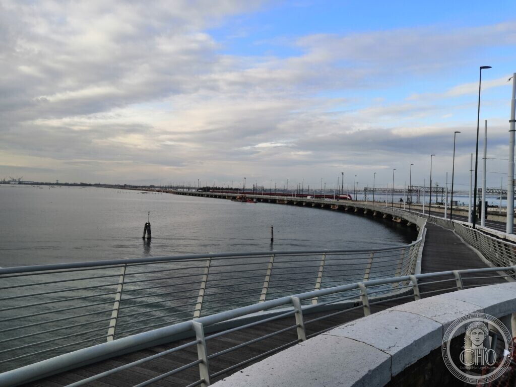
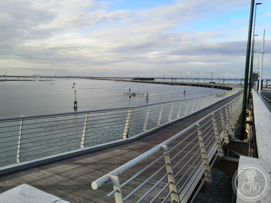
- Only road access to Venice's centro storico, terminating at Piazzale Roma; carries two lanes per direction with a tram track each way and a pedestrian and cycle path on the southern side
- Coordinates
- 45.4488° N, 12.2778° E
- Notes
- Length 3.85 km; built parallel to the 1846 Venice Railway Viaduct designed by Tommaso Meduna under the Austrian administration
Gallery
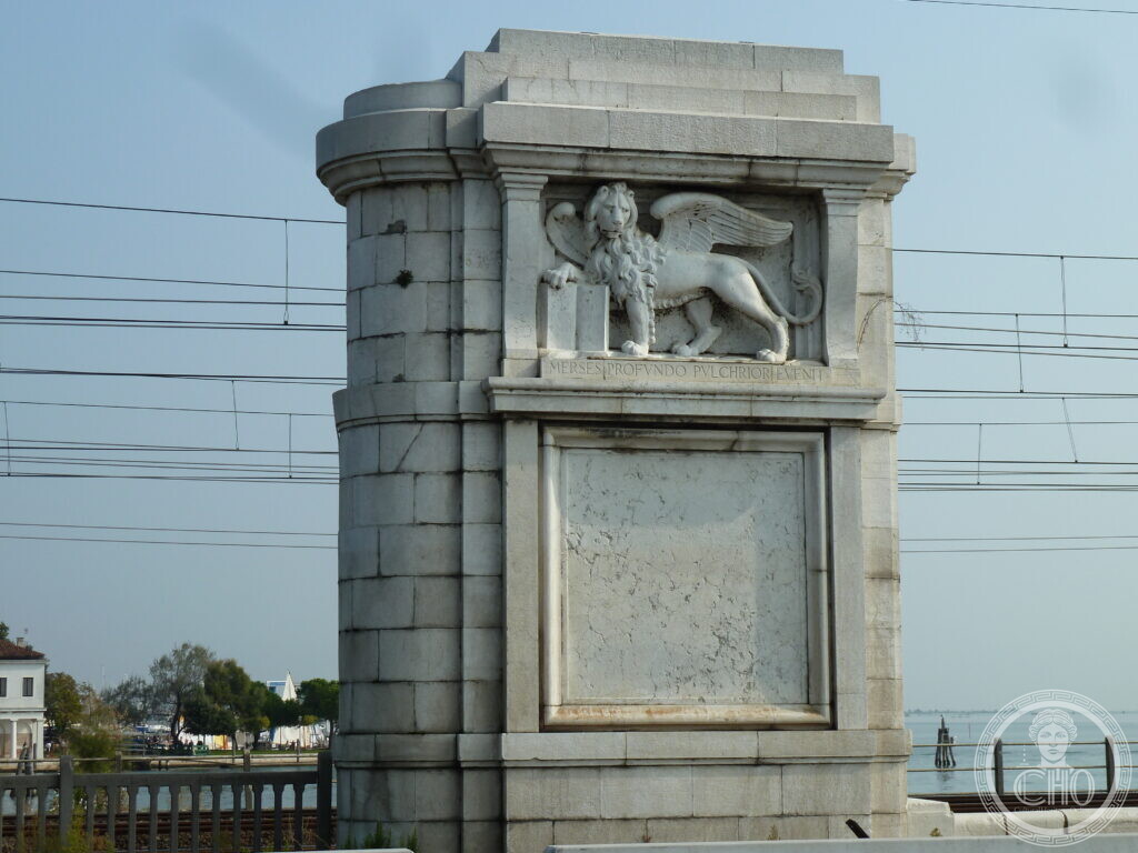
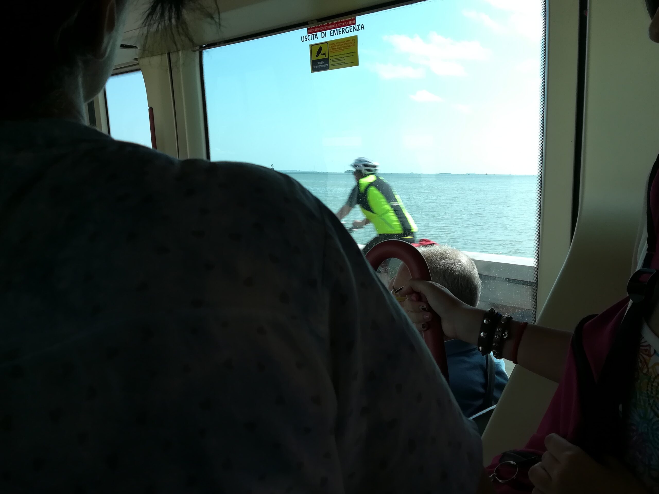
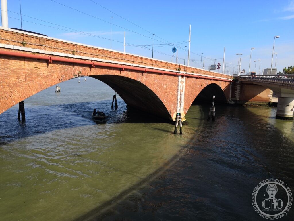
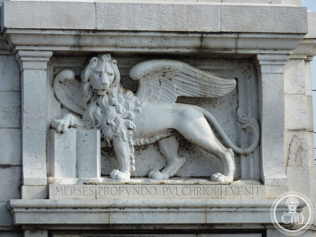
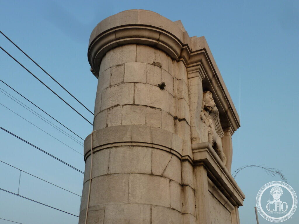
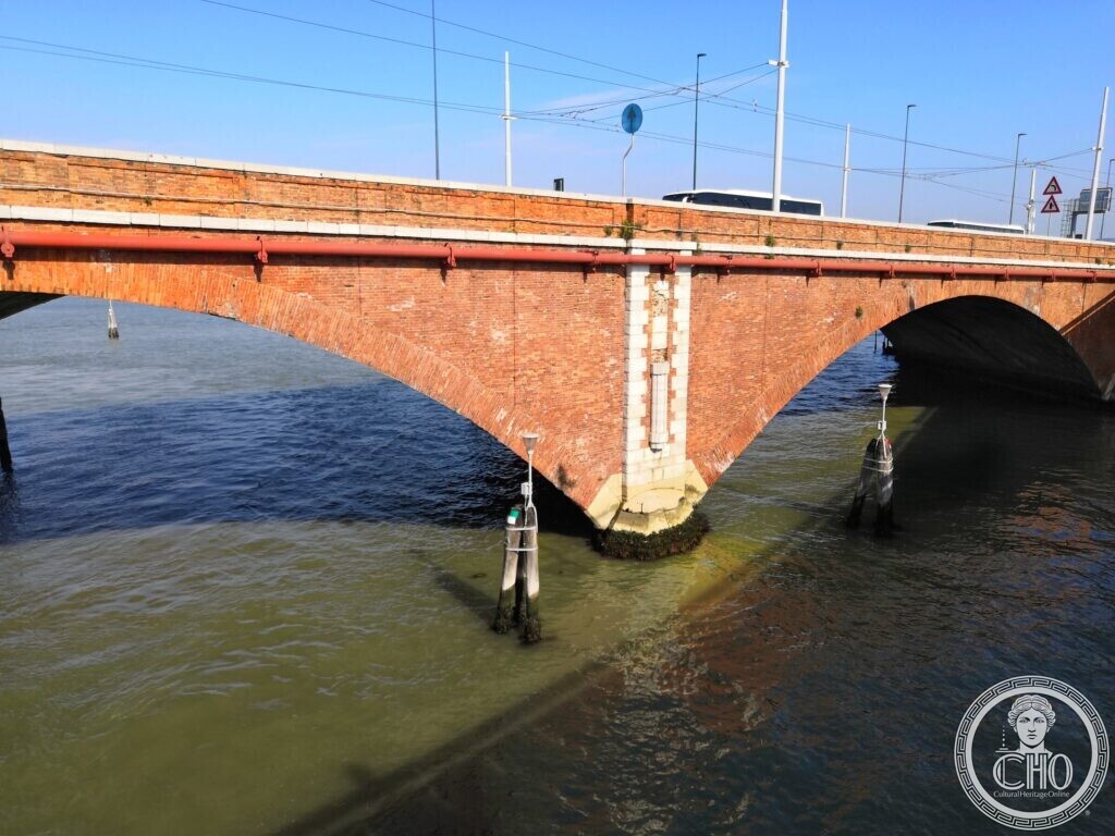
Two complementary views of the causeway: the long approach from the mainland and a daily tram crossing toward the Piazzale Roma terminal.
Visit on the map
Strada Ponte della Libertà · 45.4488° N, 12.2778° E
Download for your navigator
A single waypoint, ready for GPS apps, navigators, and contacts.
Until the nineteenth century Venice had no fixed land connection. Crossing the lagoon meant boats. The first breach in that isolation was the Ponte Ferroviario, opened in 1846 to a design by Tommaso Meduna under the Austrian administration of the Lombardy-Veneto: a stone-and-brick railway viaduct of more than two hundred arches that for the first time bound the historic islands to the terra ferma. Almost a century later, with the rise of automobile traffic and mass tourism, a parallel road link became unavoidable. The Comune di Venezia entrusted the project to its chief engineer, Eugenio Miozzi, who designed a reinforced-concrete causeway running alongside the existing rail viaduct, separated from it by only a few dozen metres of lagoon water.
Construction of the new bridge advanced quickly. An inscription on its stonework gives the dates: begun on 7 July 1931, completed on 7 April 1933, with Eugenio Miozzi, chief engineer of the Comune, as director of works. Miozzi’s design called for a structure of 3,850 metres in length, with two carriageways and a tram track in each direction, supported on a continuous sequence of concrete spans crossing the open lagoon between Mestre and the islands. The bridge was inaugurated on 25 April 1933 in the presence of Benito Mussolini and named Ponte Littorio, the “Lictor’s Bridge,” in line with the regime’s habit of dedicating major civil works to Fascist iconography. For Miozzi the project was the most visible commission of a career largely spent solving Venice’s hard engineering problems, from the Rio Novo cut through to the foundations of the Lido bathing establishments.
At the end of the Second World War, with the Fascist regime gone and the Nazi occupation ended, the bridge was renamed Ponte della Libertà, “Liberty Bridge,” in keeping with a wave of post-war redesignations of public works across Italy. In the decades that followed the causeway became the single road artery feeding Venice’s historic centre, terminating at Piazzale Roma — the bus depot and car-park gateway used by every visitor arriving by land. In 2010 a People Mover monorail was added between the Tronchetto island, the Marittima cruise terminal and Piazzale Roma, completing the modern transport hinge. The bridge today carries dense daily traffic and remains at the centre of recurring debates over how much vehicular and tourist pressure the lagoon city can sustainably absorb.
Sources
- The inscription carved on the bridge, which records the start of works on 7 July 1931, their completion on 7 April 1933 and Eugenio Miozzi, chief engineer of the Comune, as director (photographed by Stefano Vigolo in 2014: see the gallery).
- Ponte della Libertà, Italian Wikipedia.
Resources & References
Editorial picks across Wikipedia, photo archives, and the official portal.
All photographs Wikimedia Commons (CC-BY / CC-BY-SA / Public Domain) unless otherwise stated. Editorial text Cultural Heritage Online, OASIS Tech LLC USA.
Find it on the map
See this place and what’s around it →📷 Become a Cultural Heritage Online photographer
Share your photos of places: they stay published under your name as the author. The more they're seen, the more you get noticed — and soon a contest will reward the most appreciated photos.
Log in or sign up free to add a photo