

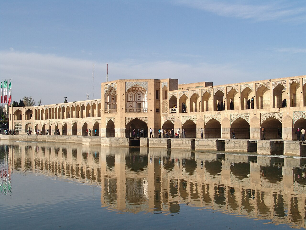
Bridge, dam, palace, and concert hall in one – Shah Abbas II’s two-storey arcade over the Zayandeh, where Isfahan sings under the arches at dusk.
At a glance
- Type
- Bridge-weir with royal pavilion
- Period
- c. 1650
- Style
- Safavid
- Location
- Zayandeh River, Isfahan, Iran
- Coordinates
- 32.6361, 51.6839
- Patron
- Shah Abbas II
Overview
The Pol-e Khaju stacks 23 arches in two arcaded storeys across the Zayandeh – Safavid Isfahan’s multipurpose masterpiece: roadway above, weir gates below regulating irrigation, a royal octagon pavilion at midstream for the shah’s river festivals, and stepped aprons where the city has always come to sit at the water. Persian tradition ranks it the finest bridge in the world’s most bridge-proud city.
History
Abbas II raised it around 1650 on an older crossing’s line toward the Zoroastrian quarter; tile traces and murals graced the pavilion where the court watched regattas. Drought’s politics dry the river many seasons now – the bridge over gravel remains Isfahan’s evening forum, and under its vaults singers test the famous acoustics nightly.
Architecture and Design
The lower arcade’s sluices meter the flow; niched galleries above frame sunset for promenaders. The Biruni pavilion keeps faded Safavid painting; stone lions guard the approaches. Engineering, ceremony, and leisure compose one structure – hydraulic architecture as civic art.
Cultural significance
Khaju is Isfahan’s gathering heart with the Si-o-se-pol – the bridges’ songs a living tradition – and world architecture’s lesson in infrastructure made delightful.
Visiting today
Free and open always; come at dusk for the lamps and the singing vaults. Check Iran travel guidance; respect gathering customs.
Getting there
The bridge anchors the riverside parks east of Si-o-se-pol; taxis and the riverside walk connect Isfahan’s monuments.
Sources and resources
Find it on the map
See this place and what’s around it →Record researched and written by Luigi De Marchi for Cultural Heritage Online, 2026.
📷 Become a Cultural Heritage Online photographer
Share your photos of places: they stay published under your name as the author. The more they're seen, the more you get noticed — and soon a contest will reward the most appreciated photos.
Log in or sign up free to add a photo