Itineraries

UNESCO Sites Near Sagarmatha: What to See

UNESCO Sites Near Sagarmatha: What to See

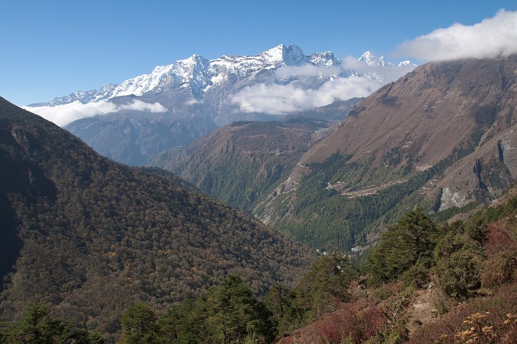
Sagarmatha National Park covers 1,148 square kilometres of terrain rising from 2,845 metres to 8,848.86 metres at the summit of Everest, first climbed on 29 May 1953 by Tenzing Norgay and Edmund Hillary after eight weeks on the mountain. The park was inscribed by UNESCO in 1979, the same year as Kathmandu Valley 170 kilometres to the southwest, making the two sites natural complements in any Nepal itinerary. Sherpa guides, whose genetic adaptation to altitude is documented in EPAS1 gene variants, run the entire technical infrastructure of Himalayan expedition climbing.
UNESCO Sites Near Kathmandu Valley: What to See

UNESCO Sites Near Kathmandu Valley: What to See

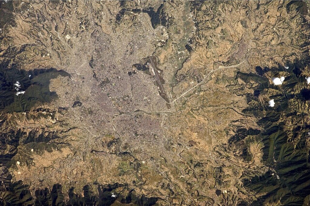
Kathmandu Valley’s seven UNESCO monument zones concentrate Newar civilisation’s finest pagoda temples, living goddess traditions and cremation ghats within a single metropolitan area. The April 2015 earthquake (7.8 Mw) destroyed nine of nineteen listed structures at Kathmandu Durbar Square and left UNESCO-led restoration programmes still ongoing a decade later. Two further UNESCO sites — Sagarmatha National Park and Lumbini — lie within 170 and 250 kilometres respectively, making the valley a practical base for South Asia’s densest concentration of World Heritage assets.

UNESCO Sites Near Lumbini: What to See

UNESCO Sites Near Lumbini: What to See

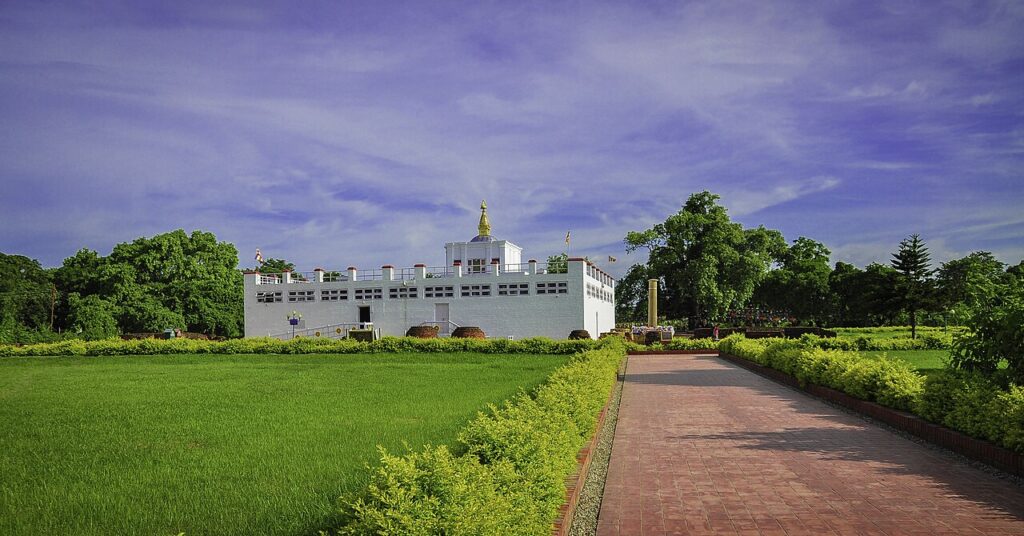
Lumbini, a UNESCO World Heritage Site since 1997, is the documented birthplace of Siddhartha Gautama in the Terai lowlands of southern Nepal. Emperor Ashoka’s 249 BCE pillar inscription — “here Buddha, the Blessed One, was born” — is the primary evidence for the site’s identification; the location was largely forgotten from the 7th century until German archaeologist Anton Alois Führer rediscovered the pillar in 1896. Within 280 kilometres: Chitwan National Park (90km, one-horned rhinoceros), the Kathmandu Valley’s seven monument zones (280km), and Sagarmatha National Park (Everest, 250km northeast).

UNESCO Sites Near Central Highlands: What to See

UNESCO Sites Near Central Highlands: What to See

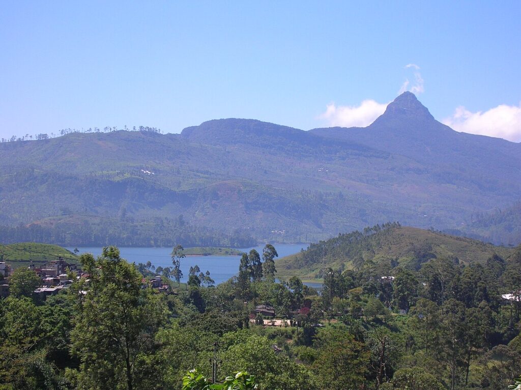
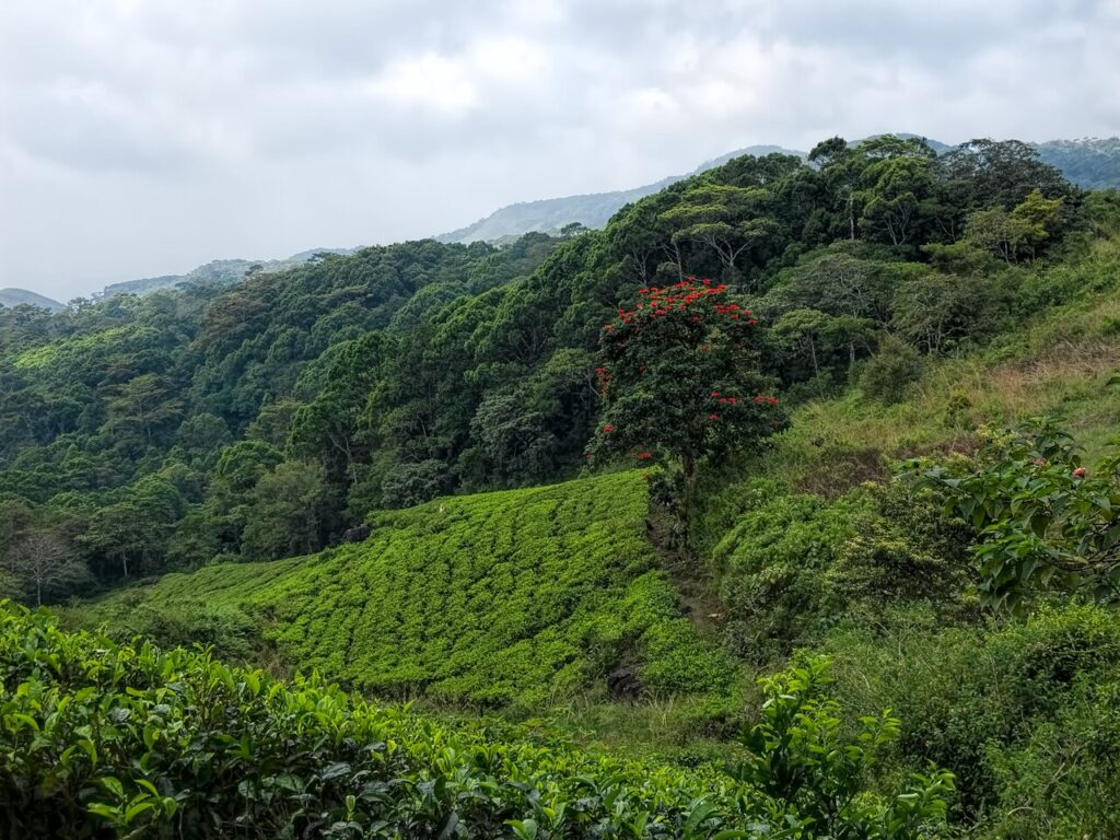
The Central Highlands of Sri Lanka, a UNESCO World Heritage Site since 2010, covers 56,000 hectares across three protected areas including Peak Wilderness (Adam’s Peak at 2,243m), Horton Plains (World’s End escarpment drops 880m), and the Knuckles Conservation Forest. The highland landscape is inseparable from the history of coffee leaf rust — which destroyed the entire Ceylon coffee industry between 1869 and 1879 — and the switch to tea that followed. Kandy (35km northwest) and Sinharaja Forest Reserve (40km south) are both within a half-day’s travel.

UNESCO Sites Near Sinharaja: What to See

UNESCO Sites Near Sinharaja: What to See

Sinharaja Forest Reserve, a UNESCO World Heritage Site since 1988, is the last viable tropical rainforest in Sri Lanka, covering 8,864 hectares in the Wet Zone and containing 60% of the island’s endemic tree species. Saved from commercial logging in 1977 after public protests, the reserve is known for mixed-species bird flocks of up to 15 species — a behaviour rare globally. The Central Highlands (40km north), Galle Fort (60km south), and Kandy (80km northeast) are all within a day’s travel.

UNESCO Sites Near Galle Fort: What to See

UNESCO Sites Near Galle Fort: What to See

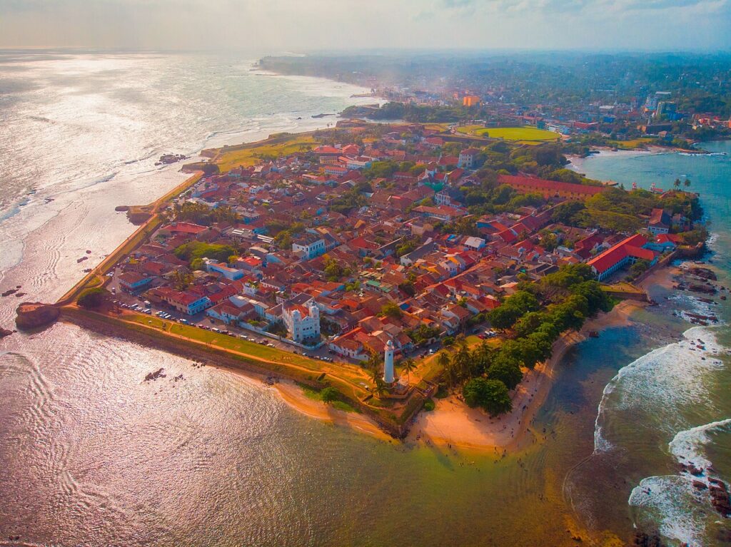
Galle Fort, a UNESCO World Heritage Site since 1988, is a 52-hectare fortified peninsula on Sri Lanka’s southwest coast where Portuguese, Dutch, and British construction layers survive intact within a town still inhabited by roughly 400 families. The Dutch rebuilt the ramparts in 1663; the lighthouse added in 1848 remains operational. Within a day’s travel, three more UNESCO sites span Sri Lanka’s ecological and historical range: Sinharaja Forest Reserve (60km), the Central Highlands (100km), and Kandy (150km).

The golden-roofed Temple of the Sacred Tooth Relic on the shores of Kandy Lake, Sri Lanka

UNESCO Sites Near Kandy: What to See

Kandy served as the last independent capital of the Sinhalese kings from 1592 to 1815, when the British annexed it not by military conquest but through the Kandyan Convention, a political agreement signed after palace intrigue. The city’s Dalada Maligawa houses the tooth relic of the Buddha, whose possession conferred the right to rule across centuries of Sri Lankan kingship. Three more UNESCO World Heritage Sites lie within 80 kilometres: the Central Highlands (20 km south) and Sinharaja Forest Reserve (80 km southwest), plus Anuradhapura (190 km north).

UNESCO Sites Near Sigiriya: What to See

UNESCO Sites Near Sigiriya: What to See

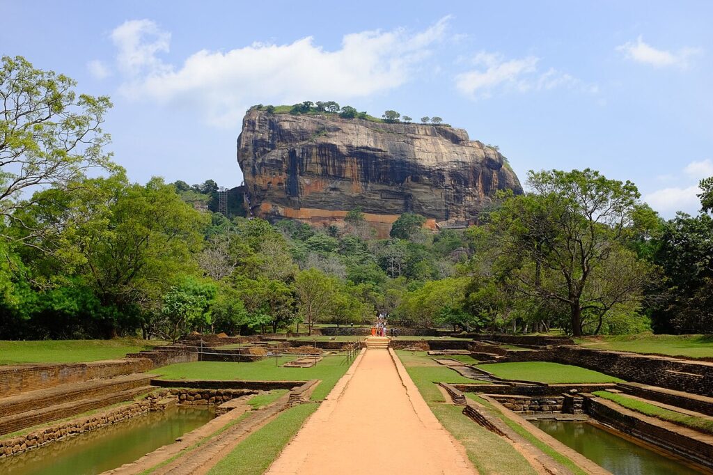
Sigiriya is a 200-metre granite inselberg in central Sri Lanka where King Kashyapa I built a fortified palace between 477 and 495 CE after seizing the throne by killing his father. The site preserves 22 surviving frescoes on the rock face painted at 100 metres above ground, a gravity-fed fountain system still functional today, and a polished Mirror Wall inscribed by 8th–10th-century visitors in some of the oldest surviving Sinhala literary writing. Anuradhapura (85 km northwest) and Polonnaruwa (60 km northeast) are both reachable within 90 minutes.

UNESCO Sites Near Polonnaruwa: What to See

UNESCO Sites Near Polonnaruwa: What to See

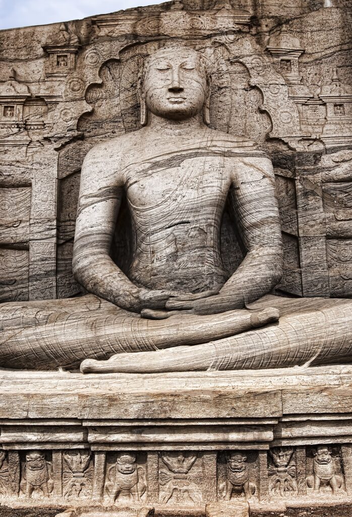
Polonnaruwa, the second capital of Sri Lanka from 1017 to 1215 CE, was the most complete medieval city on the island before its abandonment following the collapse of the dry-zone irrigation network. The site’s Gal Vihara presents four colossal Buddhist figures carved from a single granite face, the largest a 14-metre reclining parinirvana figure, and the nearby Parakrama Samudra reservoir — 22 square kilometres — remains in agricultural use today. Anuradhapura (100 km northwest) and Sigiriya (60 km northwest) are both reachable within 90 minutes.

Scroll to Top