Itineraries

UNESCO Sites Near Kaziranga: What to See

UNESCO Sites Near Kaziranga: What to See

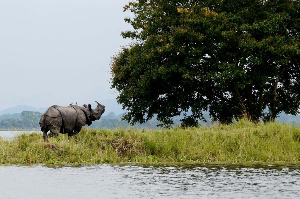
Kaziranga National Park in Assam holds 2,613 greater one-horned rhinoceros — 68 percent of the world population — on 430 sq km of Brahmaputra floodplain, plus the world’s highest tiger density at 14 per 100 sq km. The park was created in 1905 after Lady Curzon returned from a visit having seen no rhinos at all. Manas Wildlife Sanctuary, 200km west, was repopulated from Kaziranga’s stock after insurgency wiped out its animals in the 1990s.
UNESCO Sites Near Keoladeo: What to See

UNESCO Sites Near Keoladeo: What to See

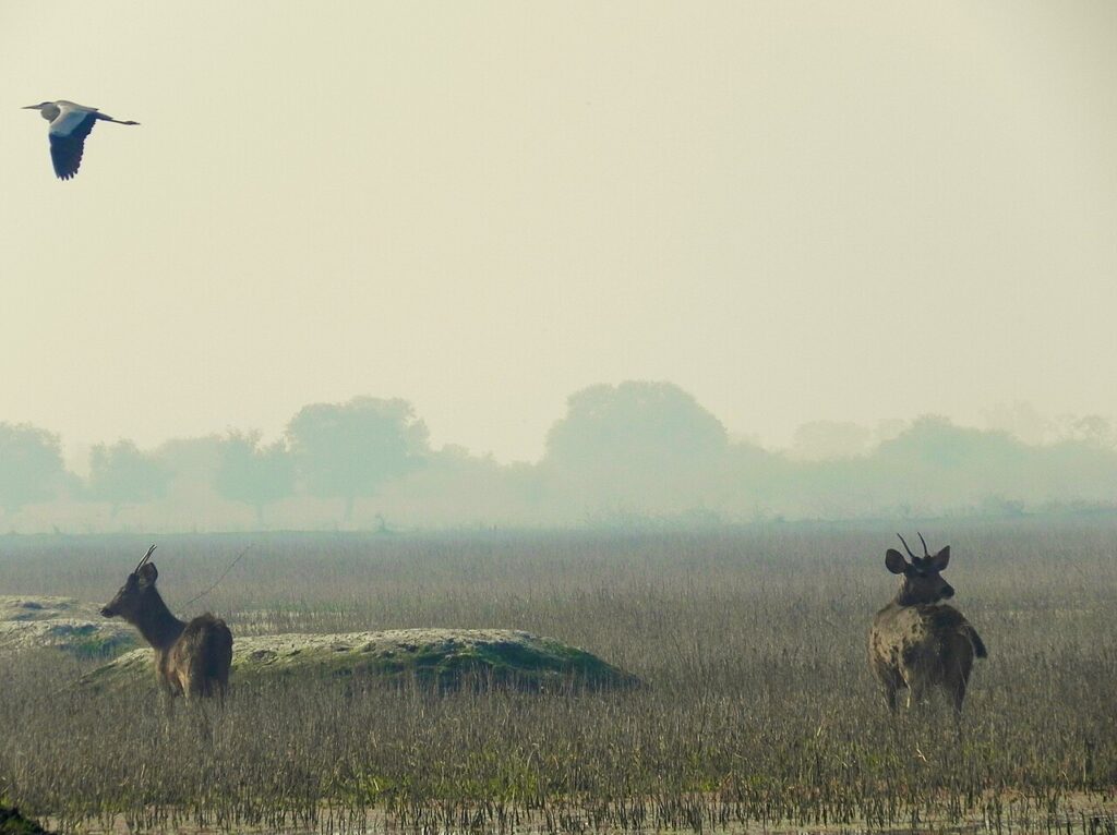
Keoladeo Ghana National Park in Bharatpur was engineered in the 1850s as an imperial duck shoot — Lord Linlithgow’s party killed 4,273 birds in a single day in 1938 — and is now a UNESCO-listed sanctuary for 370 bird species, 55km from the Taj Mahal and 40km from the Mughal ghost city of Fatehpur Sikri. The Siberian cranes that once wintered here stopped coming after 1999 and are believed extinct in their eastern migratory flock.

UNESCO Sites Near Champaner-Pavagadh: What to See

UNESCO Sites Near Champaner-Pavagadh: What to See

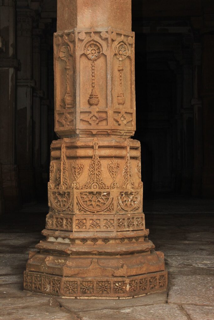
Champaner-Pavagadh Archaeological Park in Gujarat preserves the only pre-Mughal sultanate capital in India that was abandoned rather than built over — a 25 sq km site containing 114 monuments untouched since 1535. Within 380km lie three more UNESCO sites: the ornately carved 11th-century stepwell Rani ki Vav at Patan, the Bronze Age Indus Valley city of Dholavira, and the Buddhist cave paintings of Ajanta.

UNESCO Sites Near Rohtas Fort: What to See

UNESCO Sites Near Rohtas Fort: What to See

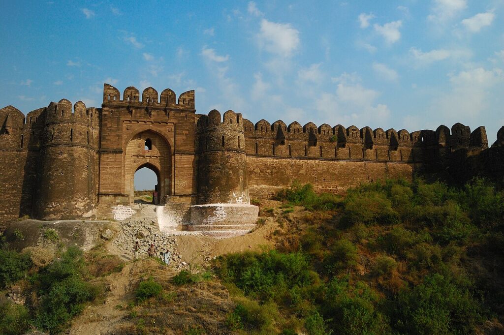
Rohtas Fort (UNESCO 1997), built by Afghan ruler Sher Shah Suri in just three years between 1541 and 1543, has a 4-kilometre perimeter wall, 68 bastions, and 12 individually designed gates including the 15-metre Kabuli Gate — yet the fort never withstood a single siege, surrendering intact when Mughal Emperor Humayun reclaimed Punjab in 1555 by negotiation. Lahore Fort (100 km southwest, UNESCO 1981) and Taxila (80 km northwest, UNESCO 1980) place Rohtas within a Grand Trunk Road heritage circuit spanning 2,500 years of history on the Potohar Plateau.

UNESCO Sites Near Makli: What to See

UNESCO Sites Near Makli: What to See

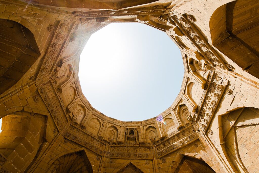
The Makli Necropolis near Thatta — UNESCO-inscribed in 1981 — covers 8 square kilometres on a hilltop 97 metres above the Indus plain and contains between 500,000 and one million graves belonging to 14 successive Sindhi dynasties from the 14th to 18th centuries, with monumental tombs in carved sandstone and glazed tile ranging from the Samma-era tomb of Jam Nizam al-Din (d. 1509) to Mughal marble-inlaid structures of the 1640s. Mohenjo-daro (55 km north, UNESCO 1980), the 2500 BCE Indus Valley Civilisation city with the world’s earliest known urban drainage system, places the Makli landscape within one of the deepest historical time spans accessible in a single visit anywhere in South Asia.

UNESCO Sites Near Taxila: What to See

UNESCO Sites Near Taxila: What to See

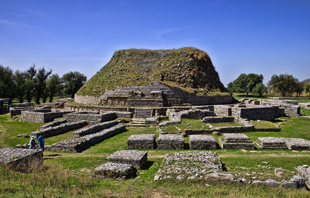
Taxila (UNESCO 1980) encompasses three successive cities built over 800 years on the Potohar Plateau — from the Achaemenid-era Bhir Mound (600 BCE) through the Hellenistic grid city of Sirkap to the Kushan-period Sirsukh — and is the site where Gandharan sculptors produced the first figurative representations of the Buddha in human form, blending Greek drapery conventions with Indian iconography between the 1st and 5th centuries CE. Lahore Fort (40 km west, UNESCO 1981) and Rohtas Fort (80 km southeast, UNESCO 1997) place Taxila within one of South Asia’s most concentrated heritage corridors spanning 2,500 years.

UNESCO Sites Near Lahore Fort: What to See

UNESCO Sites Near Lahore Fort: What to See

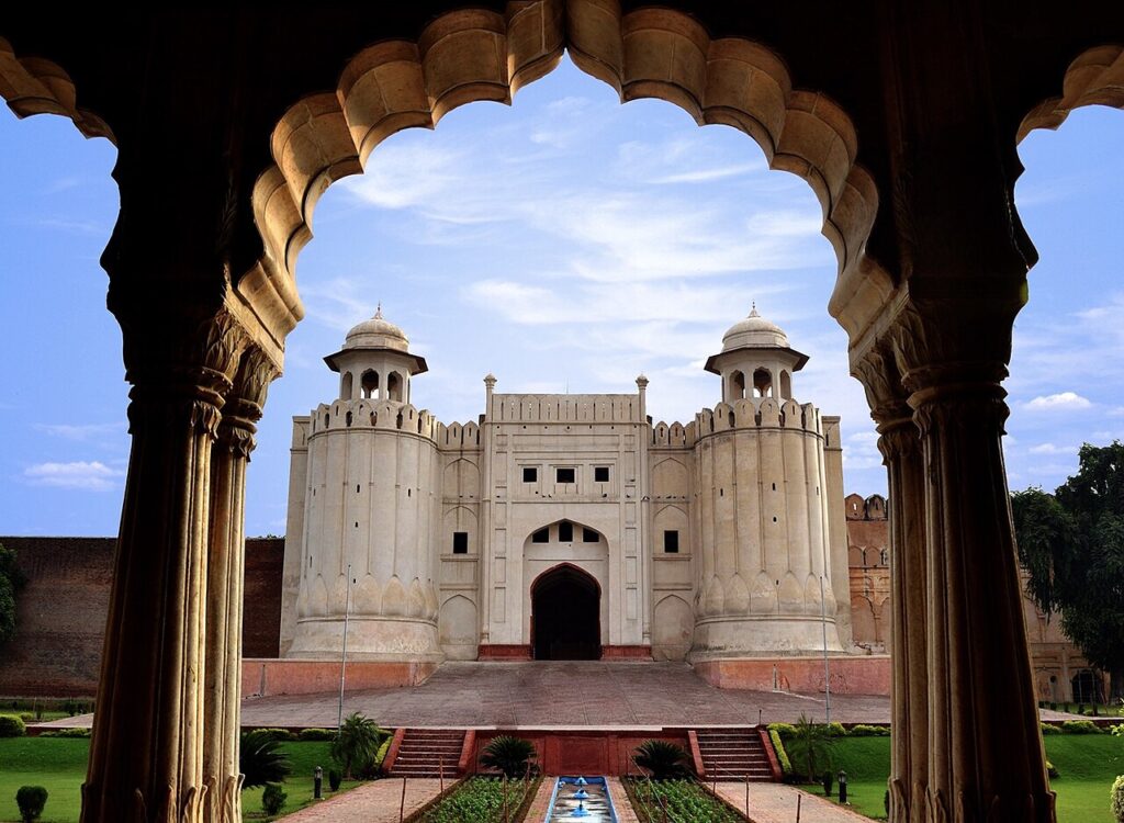
Lahore Fort and the Shalimar Gardens share a 1981 UNESCO inscription that encompasses 21 Mughal monuments built by every emperor from Akbar to Aurangzeb, including the Shish Mahal faced with 50,000 mirror fragments and the three-tiered Shalimar Gardens with 410 fountains — the gardens now on UNESCO’s In Danger list due to road construction that breached their historic perimeter. Rohtas Fort (100 km south, UNESCO 1997) and Taxila (40 km east, UNESCO 1980) add a 16th-century Afghan military fortification and an ancient Buddhist university city to one of South Asia’s most concentrated heritage corridors.

UNESCO Sites Near Mohenjo-daro: What to See

UNESCO Sites Near Mohenjo-daro: What to See

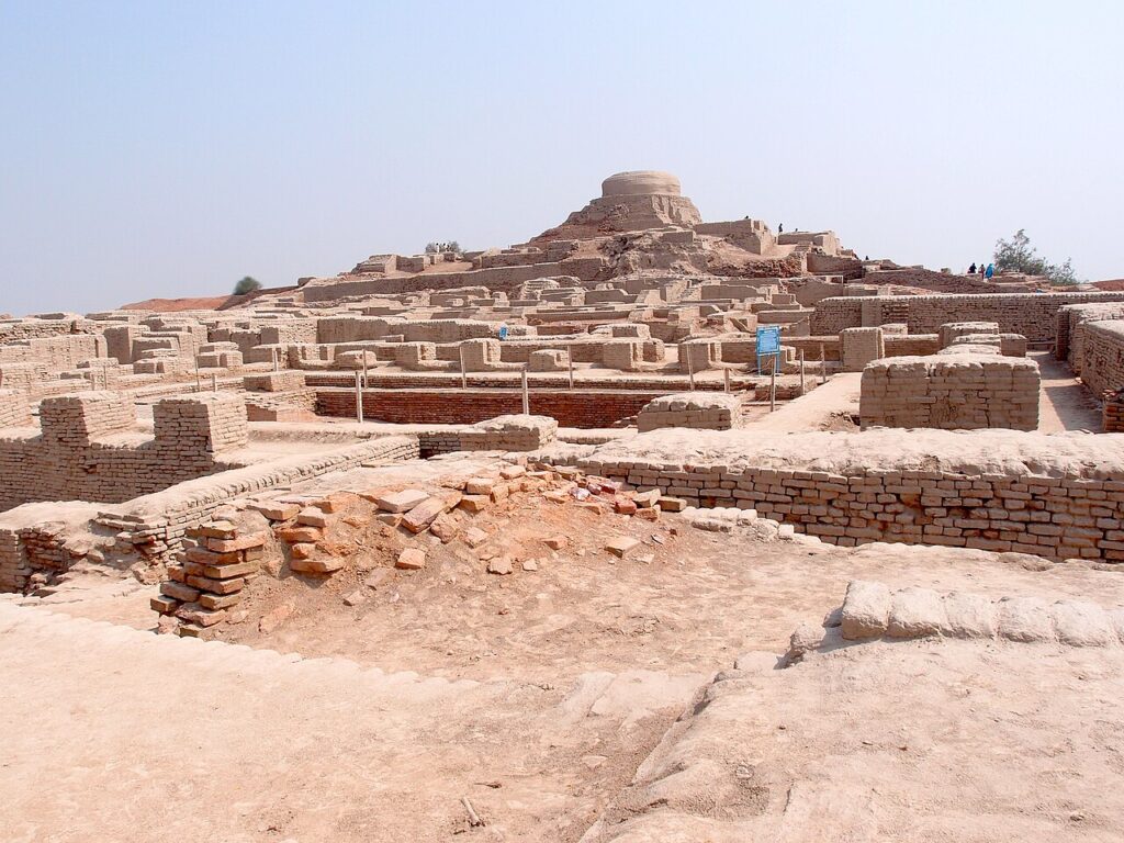
Mohenjo-daro was one of the largest cities of the Indus Valley Civilisation (2500–1900 BCE), with a grid street plan, standardised kiln-fired bricks and covered drainage channels connecting domestic flush toilets — infrastructure that would not reappear elsewhere for millennia. Its Indus script (400+ signs) remains undeciphered, leaving the city’s rulers, religion and history entirely unknown. The site has been on UNESCO’s World Heritage in Danger list since 2012 due to salt crystallisation destroying its ancient brick fabric.

UNESCO Sites Near Chitwan: What to See

UNESCO Sites Near Chitwan: What to See

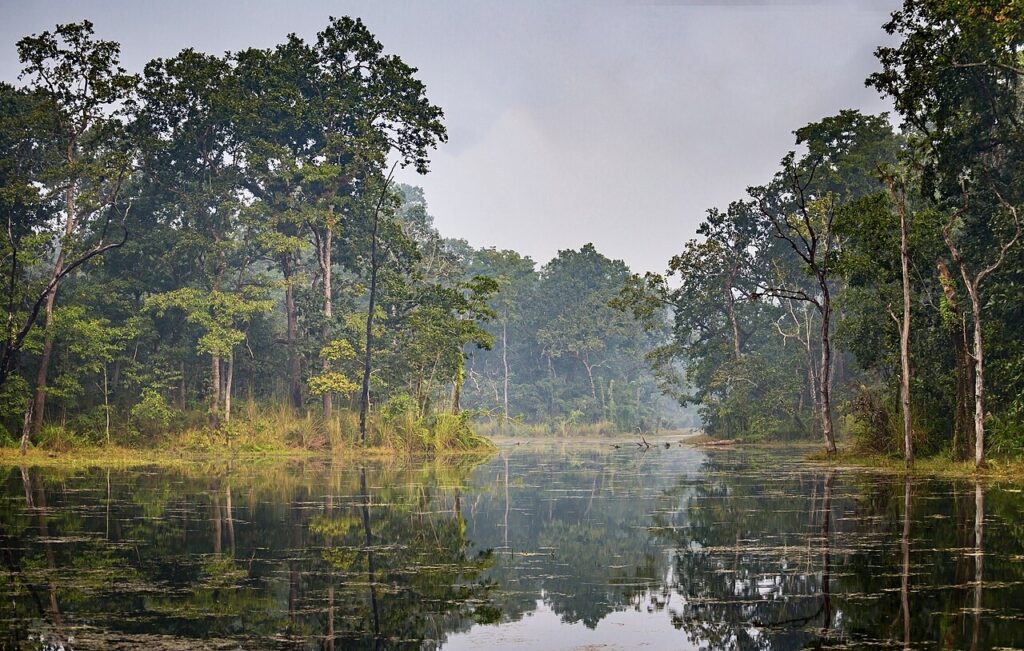
Chitwan National Park’s greater one-horned rhinoceros population grew from 95 individuals in 1968 to approximately 700 in 2023, one of the most documented large-mammal recoveries on record, achieved through sustained army-backed anti-poaching enforcement since 1975. The park was inscribed by UNESCO in 1984 as Nepal’s first natural World Heritage Site and sits 90 kilometres east of Lumbini, the Buddha’s birthplace, and 30 kilometres north of India’s Valmiki Tiger Reserve. Its Terai grasslands reach eight metres in height and support Bengal tigers, gharial crocodiles and Ganges river dolphins alongside the rhinoceros.

Scroll to Top