A self-guided heritage walk starts with a theme, uses verified GPS data for each stop, sequences the route geographically to cut backtracking, and is carried offline on a phone or GPS device as a downloaded GPX or KML file. Here is the complete method. This is a practical guide from Cultural Heritage Online.
Step 1: Choose a theme
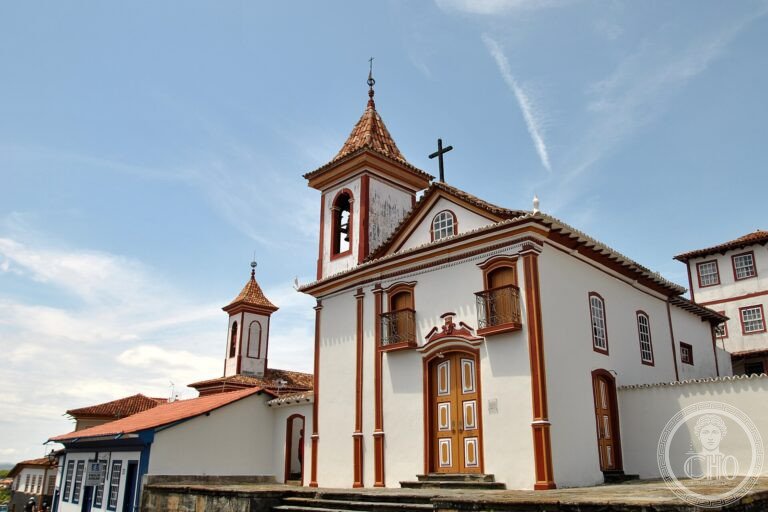
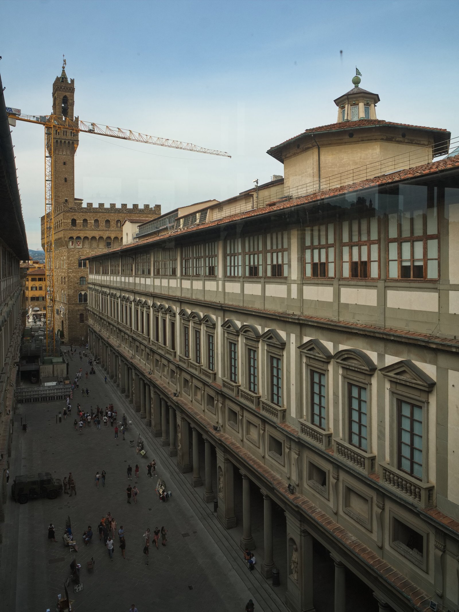
A walk with a single thread — a period, an architectural movement, a neighbourhood, a craft tradition — gives each stop a context that makes it more memorable. “Renaissance Florence” is a theme; “ten famous things to see” is a list. A theme lets you skip what does not fit and include stops most visitors never find. Useful theme types: an architectural style (Liberty, Baroque, Rationalist), a single person’s work across a city, a material (iron, marble, ceramic), a period of urban expansion, or a production tradition (silk, ceramics, glasswork).
Step 2: Build the stop list from verified data
Each stop needs three things: exact coordinates (GPS), accurate historical context, and realistic timing. An address is not enough — a specific entrance, a facade, or a courtyard may be what you need, and these require precise coordinates. Historical context from a sourced, checked source matters because the walk’s value is the story behind the stone. Timing matters because underestimating distances or visit lengths turns a planned afternoon into an exhausted evening.
CHO documents more than 3,300 heritage places with GPS, sourced editorial content, and opening information — the building blocks for a reliable stop list. Each place_card gives you what you need per stop without having to verify multiple sources.
Step 3: Sequence by geography
Let the map decide the order, not the ranking of importance. Plot all candidate stops on the interactive map and sequence them to minimise backtracking: group stops in the same neighbourhood, walk the route in one direction when possible, and save detours for optional additions. The goal is a walk you can complete comfortably, not a list you have to cut short.
Step 4: Download for offline use
Signal fails in old town centres, inside monuments, and on hill paths. Every CHO itinerary exports as a GPX or KML file that opens in offline apps (OsmAnd, Maps.me, Apple Maps offline) or dedicated GPS devices, keeping the route, the waypoints, and the stop coordinates available with no connection. GPX is the universal format for GPS devices and most mapping apps; KML is used by Google Earth and some planning tools. Either serves the purpose of a self-guided walk.
For the experience of carrying a route offline on a group tour, see also our guide to designing a cultural itinerary for tour groups.
Frequently Asked Questions
What do I need to create a self-guided heritage walk?
A theme (the thread connecting the stops), verified GPS data for each stop, accurate historical context, realistic timing, and a downloaded offline file (GPX or KML) to carry the route where signal is unreliable. A map tool that filters by theme and exports routes makes the process practical.
What is a GPX file and how do I use it?
GPX (GPS Exchange Format) is an open XML format that stores waypoints, routes, and tracks with latitude, longitude, and optional attributes. Most GPS devices and offline map apps (OsmAnd, Garmin, Apple Maps offline download) can open GPX files. Download the file, open it in your chosen app before you lose signal, and the route stays available throughout your walk.
How long should each stop on a self-guided walk be?
Allow roughly 15–25 minutes per stop for a building exterior or a small museum room, and 45–90 minutes for a major museum or site. Most self-guided walks of 5–8 stops fit comfortably in a half-day. Overloading a route is the most common mistake: seven well-understood stops are better than fifteen rushed ones.
Where do I find reliable GPS data for heritage stops?
CHO documents more than 3,300 heritage places with verified GPS coordinates, sourced editorial content, and opening information on individual place_cards, which you can explore and filter through the interactive map. UNESCO’s World Heritage Centre and OpenStreetMap are also reliable sources for coordinates, though they do not provide editorial depth.
Sources used in this article
- GPX format specification — Topografix GPX 1.1 schema.
- OsmAnd — GPX tracks and waypoints documentation.
- CHO magazine — How to design a cultural itinerary for tour groups.
- CHO magazine — Cultural travel beyond mass tourism.
- CHO — Interactive heritage map with GPX/KML export.