Murujuga — Burrup Peninsula
On a windswept peninsula 1,500 km north of Perth, approximately one million petroglyphs cover coastal granite boulders — the world’s largest concentration of rock art, spanning perhaps 50,000 years of continuous Aboriginal creative tradition, and the oldest known depictions of human faces in rock art anywhere on Earth. UNESCO World Heritage Site 2023.
At a glance
Murujuga (historically the Burrup Peninsula) lies within the Dampier Archipelago, Pilbara region, approximately 1,500 km north of Perth. Its rocky outcrops and coastal boulders carry approximately one million individual petroglyphs — the world’s largest concentration of rock art and, by most researchers’ reckoning, the longest unbroken artistic tradition on Earth. Inscribed on the UNESCO World Heritage List in September 2023, the site is cared for by the Murujuga Aboriginal Corporation, representing the Ngarluma, Yaburara, Mardudhunera, and Wong-Goo-Tt-Oo peoples of the Pilbara coast.
Key facts
- Rock art count: ~1,000,000 individual petroglyphs — world’s largest concentration
- Time span: c. 50,000 BP to present — possibly the oldest continuous artistic tradition on Earth
- Technique: Pecking and abrading through desert varnish on coastal granite
- UNESCO WHS: Inscribed September 2023
- Custodians: Murujuga Aboriginal Corporation (Ngarluma, Yaburara, Mardudhunera, Wong-Goo-Tt-Oo peoples)
- Notable imagery: Human faces (possibly oldest known in rock art), thylacine, extinct megafauna, celestial phenomena
- Conservation concern: Woodside LNG plant emissions debated as threat to desert varnish substrate
History and cultural significance
The Murujuga petroglyphs were created over an almost incomprehensible span of time. The earliest images were made when sea levels were approximately 130 metres lower than today and the coastline lay 50–100 km further out — a reality documented in the rock art itself, which includes coastal scenes and animals from now-submerged landscapes. As sea levels rose following the Last Glacial Maximum, the landscape transformed around the artists and their descendants, who continued the tradition without interruption. The result is a layered visual archive of environmental change, species diversity, spiritual life, and cultural continuity without parallel anywhere in the world.
The imagery includes human faces considered among the oldest known in any rock art tradition, the thylacine (Tasmanian tiger, last documented on the Australian mainland ~3,000 years ago but depicted in multiple Murujuga engravings), coastal scenes, and ceremonial imagery whose full spiritual meaning is held by the traditional custodians. A major conservation controversy surrounds the Woodside Petroleum LNG plant established on the peninsula in the 1980s: researchers have argued its nitrogen oxide emissions accelerate desert varnish erosion. The Australian government commissioned independent research as part of the 2023 UNESCO nomination; the debate continues.
What you see
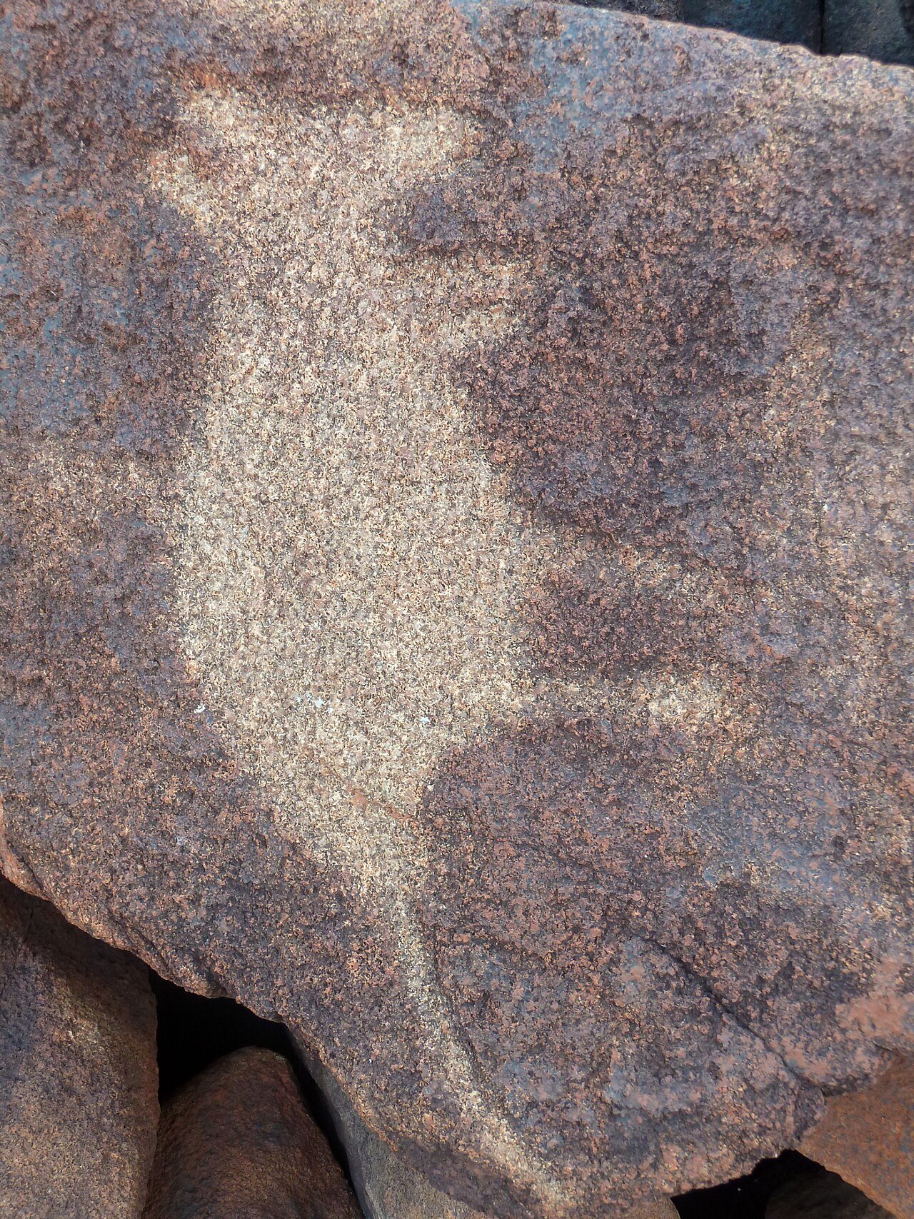
Petroglyphs are distributed across boulders and outcrops throughout the peninsula and the Dampier Archipelago islands. The rock surface is dark ochre-brown from its desert varnish; engravings appear as lighter patches where the varnish was removed by pecking. Many images overlap, reflecting the site’s temporal depth — later engravings superimposed on earlier ones. Key visitor sites are Deep Gorge (highest petroglyph density), Hearson Cove, and the Burrup Peninsula Scenic Drive. Murujuga National Park, established 2013, provides walking trails through major concentrations. The scale is disorienting: unlike a fenced monument, petroglyphs cover every boulder, at every elevation — making the site as much an experience of landscape as of individual artworks.
Practical information
- Entry: National Park — fee applies (Discover Parks WA passes accepted)
- Access: Self-drive from Karratha (~15 km); no public transport to the peninsula
- Best sites: Deep Gorge, Hearson Cove, Withnell Bay
- Guided tours: Available via Murujuga Aboriginal Corporation — strongly recommended
- Season: Year-round; April–September (dry season) most comfortable; summer temperatures exceed 40°C
- Photography: Personal use permitted; commercial photography requires MAC permission
- Respect: Do not touch, chalk, or climb on petroglyphs
Getting there
Karratha is 1,530 km north of Perth, served by daily flights from Perth Airport (~2h) with Qantas, Virgin Australia, and Rex. From Karratha, hire a car and follow signs to the Burrup Peninsula via Burrup Road. Deep Gorge is ~15 km from Karratha town centre. No public transport reaches the peninsula.
Nearby
- Karratha (15 km): Gateway town with accommodation and the Karratha Community Museum
- Dampier (6 km): Port town with boat tours of the Dampier Archipelago
- Roebourne (40 km): Historic Pilbara town with Aboriginal community
- Millstream-Chichester National Park (150 km): Gorge country and Aboriginal heritage walks
Sources
- Wikipedia: Murujuga
- Murujuga Aboriginal Corporation: murujuga.org.au
- UNESCO World Heritage: Murujuga nomination (2023)
- Parks and Wildlife Service WA: Murujuga National Park
- Bednarik, R.G. (2002): The Canonisation of Murujuga Rock Art, Australian Aboriginal Studies
Find it on the map
See this place and what’s around it →📷 Diventa un fotografo di Cultural Heritage Online
Condividi le tue foto dei luoghi: restano pubblicate con la tua firma come autore. Più vengono viste, più ti fai conoscere — e presto un concorso premierà le foto più apprezzate.
Accedi o registrati gratis per aggiungere una foto