
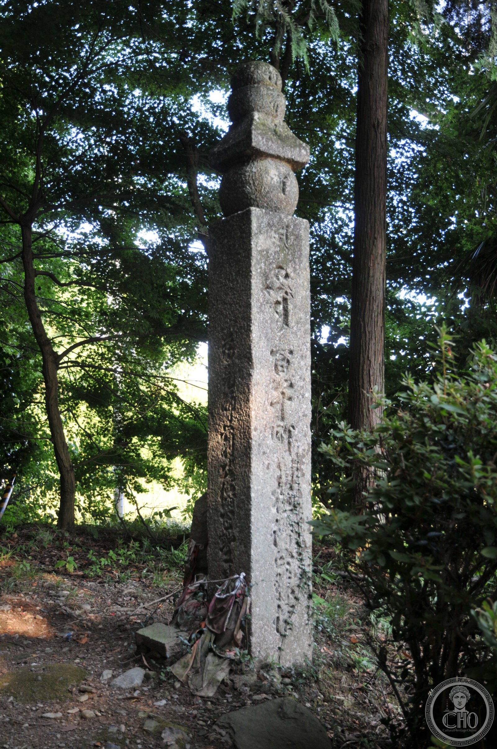
A twenty-four-kilometre pilgrimage route connecting the Jison-in temple to Mount Kōya, spiritual heart of Kōyasan Shingon Buddhism.
At a glance
The Kōyasan chōishi-michi is a sacred pilgrimage path traversing the Kii Peninsula from Kudoyama to Mount Kōya. Designated a National Historic Site, it forms part of the UNESCO World Heritage Site honouring the sacred sites and pilgrimage routes of the Kii Mountain Range.
History
The route begins at Jison-in temple, situated in Kudoyama on the south bank of the Kinokawa River, and extends eastward across twenty-four kilometres of mountainous terrain. Its terminus is Kongōbu-ji Temple, the ecclesiastical headquarters of the Kōyasan sect of Shingon Buddhism, located in the town of Kōya at Mount Kōya’s summit.
What you see
The path winds through the Kii Mountains, linking two major Buddhist institutions. The landscape encompasses both temple grounds and forested mountain passages characteristic of the region’s spiritual geography.
Cultural significance
This pilgrimage route embodies centuries of Buddhist devotion in Japan. It connects lay devotees and monks across terrain sacred to Kōyasan Shingon Buddhism, one of Japan’s major Buddhist traditions. Recognition as a UNESCO World Heritage Site acknowledges the route’s importance within the broader network of sacred pilgrimage destinations in the Kii mountains.
Key facts
- Country: Japan
- Location: Kii Peninsula, Kansai region; Kudoyama to Mount Kōya
- Coordinates: 34.2553°N, 135.5258°E
- Designated: National Historic Site
- UNESCO Status: Part of Sacred Sites and Pilgrimage Routes in the Kii Mountain Range World Heritage Site
- Protected area: Kōyasan Chōishi-michi Tamagawa Prefectural Park
Practical information & getting there
The pilgrimage route is accessible from Kudoyama in Wakayama Prefecture. You can reach the Jison-in trailhead from Kudoyama Station. The full route extends twenty-four kilometres to Mount Kōya; most pilgrims traverse sections of the path according to their ability and schedule.
Sources & resources
Find it on the map
See this place and what’s around it →📷 Become a Cultural Heritage Online photographer
Share your photos of places: they stay published under your name as the author. The more they're seen, the more you get noticed — and soon a contest will reward the most appreciated photos.
Log in or sign up free to add a photoIs this page about you?
This page is read by travellers and heritage enthusiasts who find it on Google. Tell us how you are connected to this place and we will take it from there.