
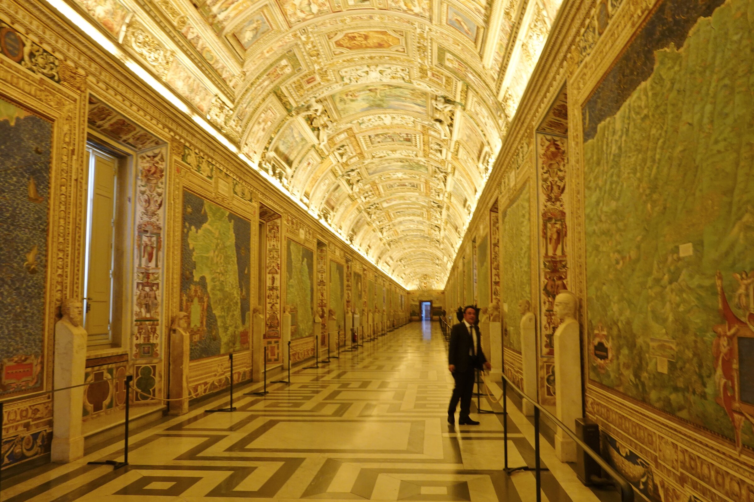
A 120-metre corridor inside the Vatican Museums, lined with forty monumental cartographic frescoes painted between 1580 and 1583 under the patronage of Pope Gregory XIII. The cycle was designed by the Dominican mathematician and cosmographer Ignazio Danti and runs along the long axis of the Belvedere palace conceived by Bramante, on the route that leads visitors toward the Sistine Chapel.
- Address
- Musei Vaticani, Viale Vaticano, 00165 Città del Vaticano
- Period
- 1580–1583 (frescoes); vault with later stuccoes and ceiling scenes
- Cartographer
- Ignazio Danti (1536–1586), Dominican mathematician and cosmographer to the papal court
- Patron
- Pope Gregory XIII Boncompagni
- Function
- Cartographic-cosmographic corridor connecting the Belvedere apartments to the Sistine Chapel route
- Current use
- Part of the ordinary Vatican Museums visit route to the Sistine Chapel
- Coordinates
- 41.9041° N, 12.4542° E
- Notes
- Corridor 120 m long × 6 m wide × 9 m high; 40 fresco panels covering the regions of Italy; vault by Mannerist masters including Cesare Nebbia and Girolamo Muziano; restored 2013–2016 by the California Chapter of the Patrons of the Arts in the Vatican Museums at a cost of approximately USD 2.4–2.5 million
Gallery
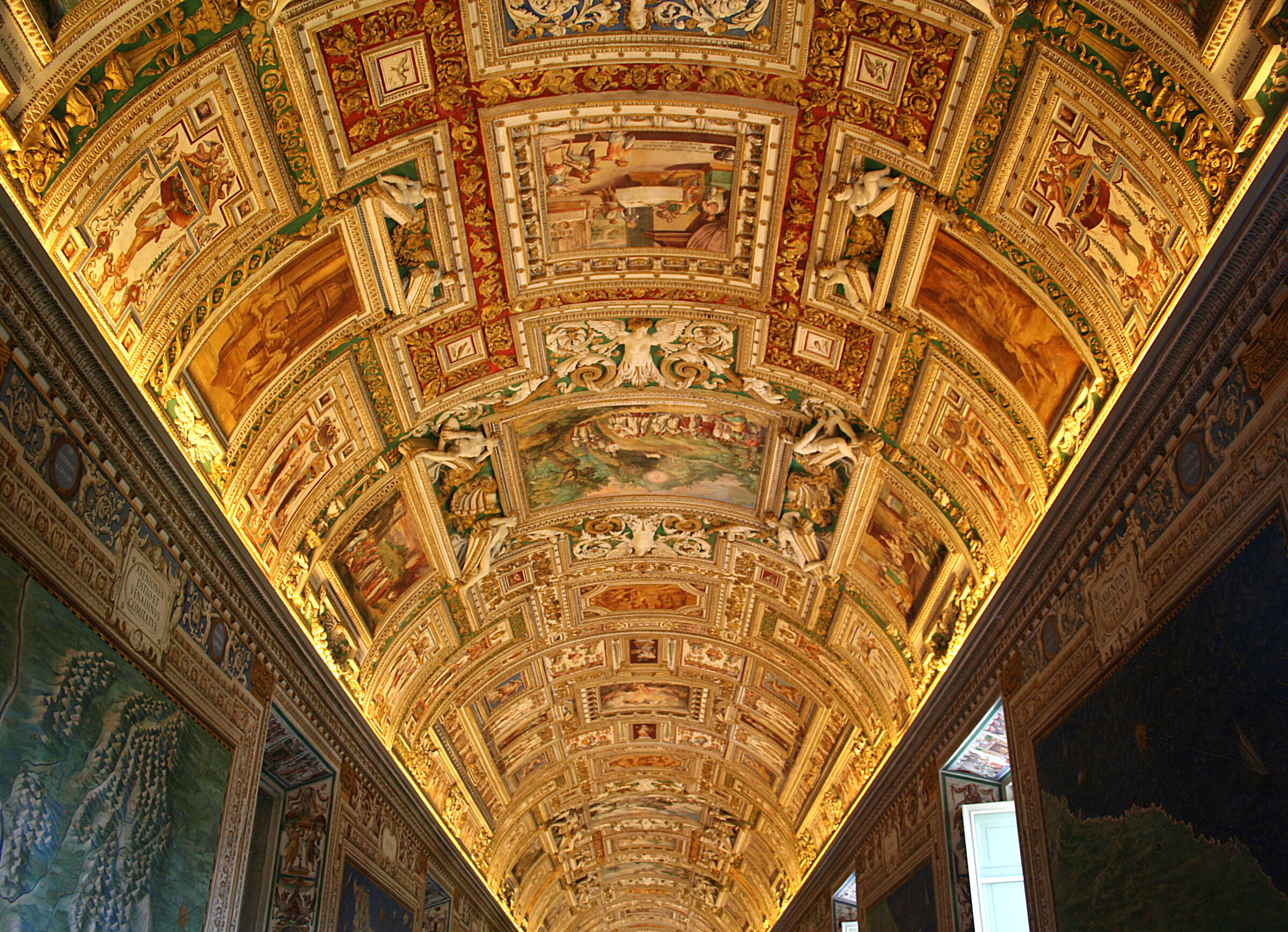
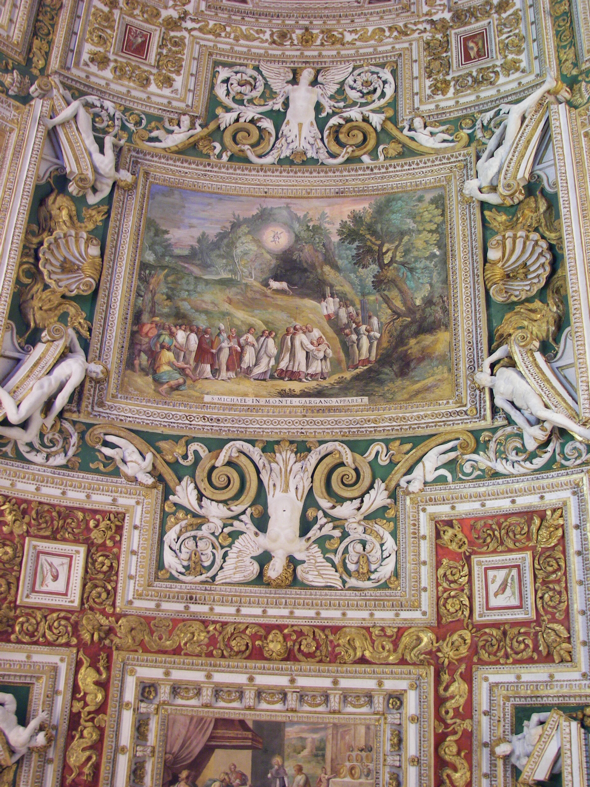
Two further views: a single regional map at close range, and the painted vault overhead.
Visit on the map
Musei Vaticani · 41.9041° N, 12.4542° E
Download for your navigator
A single waypoint, ready for GPS apps, navigators, and contacts.
The pontificate of Gregory XIII Boncompagni (1572–1585) is remembered for the reform of the Western calendar in 1582, but it was also a sustained programme of patronage in cartography, geodesy and astronomy. The same pope who reorganised the measurement of time invested in the systematic mapping of Catholic Italy. To design and direct the cycle he turned in 1580 to Ignazio Danti, a Dominican friar from Perugia who had already served as cosmographer at the Medici court in Florence before political shifts pushed him toward Rome. Danti drew the cartographic plates; the painting was carried out by a workshop that included his brother Antonio Danti and Mannerist masters working on the vault.
Forty fresco panels run along the two sides of the corridor, each devoted to a region of the Italian peninsula together with its principal cities, ports and topography rendered in perspective. The cycle reads as a continuous atlas: Liguria, Lombardy, Tuscany, Lazio, the Kingdom of Naples, Sicily and the islands, alongside special panels for ancient Italy (Italia antiqua) and major maritime cities such as Venice and Genoa. The vault above carries fifty-one scenes of edifying and miraculous episodes set within an elaborate stucco framework, painted by Cesare Nebbia, Girolamo Muziano and their collaborators. The programme as a whole presents Italy as a single Catholic geographical body, anchored to Rome.
Today the gallery is part of the ordinary visit route through the Vatican Museums leading toward the Sistine Chapel, crossed by several million visitors each year. Between 2013 and 2016 a four-year campaign of restoration was carried out under the Vatican Museums with the support of the California Chapter of the Patrons of the Arts in the Vatican Museums, at a cost of approximately USD 2.4–2.5 million; individual maps were sponsored one by one through a dedicated adoption programme. The intervention removed centuries of surface deposits and stabilised the pigment of both the wall maps and the vaulted ceiling, returning the cycle to a brightness close to its original sixteenth-century state.
Resources & References
Editorial picks across Wikipedia, photo archives, and the official portal.
All photographs Wikimedia Commons (CC-BY / CC-BY-SA / Public Domain) unless otherwise stated. Editorial text Cultural Heritage Online, OASIS Tech LLC USA.
Find it on the map
See this place and what’s around it →📷 Become a Cultural Heritage Online photographer
Share your photos of places: they stay published under your name as the author. The more they're seen, the more you get noticed — and soon a contest will reward the most appreciated photos.
Log in or sign up free to add a photoIs this page about you?
This page is read by travellers and heritage enthusiasts who find it on Google. Tell us how you are connected to this place and we will take it from there.