
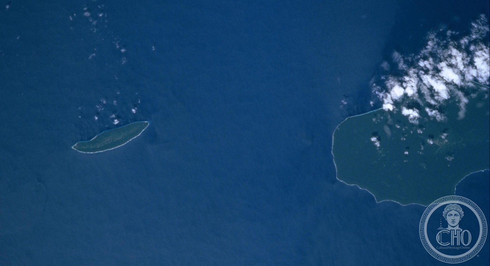
Rennell — the southernmost and most remote island of the Solomon Islands — is the largest raised coral atoll of the Pacific Ocean: 86 km long by 15 km wide of coral limestone lifted up to 150 m above sea level by tectonic thrust. The eastern third of the island (East Rennell, about 37,000 hectares) has been a UNESCO World Heritage site since 1998 for the presence of Lake Tegano — 155 km² of lake of lagoon origin, the largest lake of the island Pacific — and for its limestone rainforest, home to 27 endemic species of birds, reptiles and invertebrates. The Polynesians of Rennell (the Bellonese), whose ancestors settled the island 1,000 years ago, are the traditional keepers of this landscape.
At a glance
East Rennell World Heritage site covers approximately 37,000 ha (the eastern third of Rennell Island) in Rennell and Bellona Province, the southernmost province of the Solomon Islands. UNESCO inscribed it in 1998 (ref. 854) for its outstanding universal value as the largest raised coral atoll in the world and the habitat of an extraordinary concentration of endemic species — 27 endemic birds, 11 endemic reptiles and numerous endemic invertebrates. The centrepiece of the site is Lake Tegano (also known as Lake Te’Nggano), a former lagoon cut off from the sea when the atoll was uplifted; at 155 km², it is the largest lake in the insular Pacific. The lake water is brackish; it contains several small islands and is fringed by cliffs and mangrove.
Key facts
- UNESCO: World Heritage since 1998 (East Rennell, ref. 854); placed on Danger List 2013
- Lake Tegano: 155 km²; formerly a lagoon, now a brackish lake; the largest lake in the insular Pacific
- Endemism: 27 endemic bird species (including Rennell fantail, Rennell white-eye, Rennell starling); 11 endemic reptiles; numerous endemic invertebrates
- Bellonese Polynesians: the island’s inhabitants; arrived c. 950 AD from Polynesia; the only Polynesian outlier in the Melanesian Solomon Islands
- Danger List: placed on UNESCO Danger List in 2013 due to pressure from logging companies and invasive species (introduced black rats, cats, pigs decimating nesting seabirds)
- Cyclones: Rennell is regularly affected by tropical cyclones; TC Harold (2020) caused severe damage to the forest
History
Rennell Island was settled by Polynesian colonists (the ancestors of today’s Bellonese people) around 950 AD — at the same time as Henderson Island and other Polynesian outliers were being settled by canoe voyagers from the central Pacific. Unlike Henderson (which was later abandoned), Rennell remained inhabited. The Bellonese maintained a culture strongly distinct from the surrounding Melanesian Solomon Islands, including a unique Polynesian language (Rennellese, related to Tikopian and Samoan), traditional tattooing, and belief in supernatural powers called Hiti and Epa. The island was Christianised in 1938 by the Seventh-day Adventist Mission.
The island was first reached by Europeans in 1801 (the British ship HMS Providence). During World War II, the waters near Rennell were the site of the Battle of Rennell Island (January 1943), the last major naval air battle between the United States and Japan in the Guadalcanal campaign. Since independence (1978), Rennell has been under pressure from logging companies. UNESCO placed East Rennell on the Danger List in 2013 after the Solomon Islands government granted logging licences in the buffer zone adjacent to the WH site.
What you see
The visual centrepiece is Lake Tegano: a vast, still, brackish lake fringed by limestone cliffs and mangroves, with dozens of small rocky islets rising from the water. The lake surface is calm, the water dark green, with extraordinary clarity when diving. Endemic birds are everywhere — the Rennell fantail and Rennell white-eye are particularly conspicuous. The forested limestone plateau above the lake, accessed by steep trails from the lake shore, is dense, dark and cool, with huge Calophyllum and Barringtonia trees and a carpet of ferns.
The lake is reached by a 30-minute walk from Tingoa village (the main settlement on East Rennell) through the forest.
Practical information
- Access: fly from Honiara (Solomon Airlines; 40 min) to Rennell/Tingoa airstrip; very limited flights (weekly or less)
- Accommodation: village guesthouses in Tingoa; very basic; bring food, water purification tablets and mosquito net
- Guides: essential; available in Tingoa; lake excursions by dugout canoe
- Best time: April–November (outside the main cyclone season; December–March is cyclone risk period)
Getting there
Fly from Honiara (Henderson International Airport) to Tingoa airstrip, East Rennell (Solomon Airlines; approximately 40 min). Honiara is connected to Brisbane (Qantas), Nadi (Fiji Airways) and Port Vila (various). GPS: 11.68° S, 160.33° E.
Nearby
- Bellona Island — the small sister island 20 km west of Rennell; similar Polynesian culture; accessible by boat from Rennell
- Guadalcanal — the main Solomon Island; WWII battlefield; Iron Bottom Sound; 200 km north
- Honiara — the Solomon Islands capital; National Museum; WWII memorial at Skyline Ridge
Sources
- UNESCO World Heritage Centre — “East Rennell” (ref. 854)
- Encyclopaedia Britannica — Rennell Island; Solomon Islands
- BirdLife International — Rennell Island IBA
Find it on the map
See this place and what’s around it →📷 Become a Cultural Heritage Online photographer
Share your photos of places: they stay published under your name as the author. The more they're seen, the more you get noticed — and soon a contest will reward the most appreciated photos.
Log in or sign up free to add a photo