Parco Nazionale del Darién (sito naturale): la foresta pluviale più biodiversa delle Americhe al crocevia tra continenti
Sul confine tra Panama e Colombia, dove la catena montuosa della Sierra de Darién separa l’Oceano Atlantico dal Pacifico e il Nordamerica dal Sudamerica, il Parco Nazionale del Darién custodisce la foresta pluviale più biodiversa dell’intero Emisfero Occidentale. L’unico punto della Pan-American Highway dove la strada si interrompe — il famoso “Tapón del Darién,” l’interruzione del Darién — è qui, dove nessuna strada penetra e la foresta primeva regna incontrastata. Un ecosistema di confine che mescola fauna nordamericana e sudamericana in una densità biologica irripetibile. Patrimonio UNESCO dal 1981.
At a glance
Darién National Park is a protected area of 597,000 hectares in south-eastern Panama, on the border with Colombia. It covers the Darién Gap — the only break in the Pan-American Highway, where dense forest prevents road-building between Central and South America. The park spans the Caribbean and Pacific slopes of the Darién cordillera, encompassing lowland rainforest, cloud forest, mangroves, rivers and montane vegetation. UNESCO inscribed it in 1981 (ref. 159) for its exceptional biodiversity: over 600 bird species, 5 species of big cat, tapir, manatee and hundreds of reptiles and amphibians. It is also the homeland of the Emberá and Wounaan indigenous peoples.
Key facts
- UNESCO: World Heritage since 1981 (Darién National Park, ref. 159)
- Area: 597,000 hectares — Panama’s largest national park
- The Gap: the only break in the 30,000 km Pan-American Highway; 160 km of roadless jungle
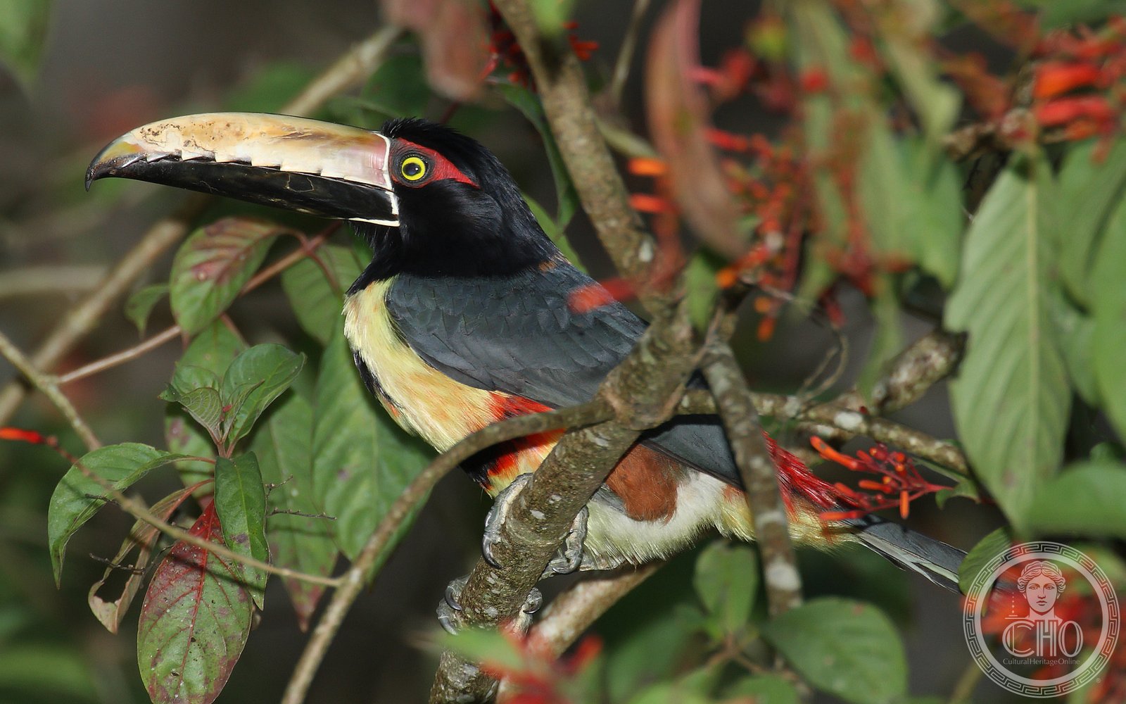
- Birds: over 600 species, including harpy eagle (Panama’s national bird), scarlet macaw, five species of toucan
- Mammals: jaguar, puma, ocelot, margay, jaguarundi (all 5 Panamanian cats); Baird’s tapir, giant anteater, giant armadillo
- Indigenous peoples: Emberá and Wounaan communities have lived in the Darién for centuries; their territories overlap the park
History
The Darién was the site of one of the most dramatic episodes of early American colonisation. In 1513, Vasco Núñez de Balboa crossed the Darién isthmus from the Atlantic to the Pacific — the first European to see the Pacific Ocean. He stood on a summit of the Darién mountains and looked out over what he called the “South Sea.” The Spanish settlement of Santa María la Antigua del Darién was the first permanent European settlement on the American mainland (founded 1510, abandoned 1524). Later, the Scots attempted to colonise the Darién in 1698–1700 in the disastrous “Darién Scheme,” which contributed to the Union of Scotland with England in 1707.
The Emberá and Wounaan peoples have inhabited the Darién continuously for centuries, developing sophisticated knowledge of the forest. UNESCO inscription in 1981 recognised the park’s outstanding natural importance. The park has since faced threats from illegal settlers, narco-trafficking routes and pressure on its borders, but remains largely intact due to its extreme remoteness and rugged terrain.
What you see
The Darién is one of the world’s wildest places: towering primary rainforest with emergent trees reaching 50 m, rivers thick with caimans and anacondas, and a bird life of unparalleled density. The harpy eagle — the largest eagle in the Americas, capable of hunting monkeys and sloths — nests in the park. Spider monkeys, howler monkeys, three-toed sloths and coatis move through the canopy.
Organised tours access the park from the town of La Palma (on the Pacific coast) or Metetí by boat along the rivers. Emberá villages inside the park offer cultural visits — traditional crafts, medicinal plants, river canoe trips.
Practical information
- Safety: the Darién border area has security concerns; consult current travel advisories and use only authorised tour operators
- Access: by small plane from Panama City to La Palma, then river boat; or by 4WD to Metetí/Yaviza + boat
- Tours: specialist eco-tour operators in Panama City organise guided expeditions; do not attempt solo visits
- Best time: January–April (drier season; lower river levels; more accessible)
Getting there
From Panama City: flights (30 min) to La Palma operate several times weekly. By road: the Interamericana (Pan-American Highway) reaches Yaviza, 320 km east of Panama City — the road ends here. From Yaviza, river boats reach communities inside the park. GPS (park centre): 7.74° N, 77.55° W.
Nearby
- Panama City (UNESCO) — the historic Casco Viejo and the Panama Canal, 320 km west
- Coiba National Park (UNESCO) — the Pacific island reserve with shark diving, 350 km west
- Chocó Rainforest (Colombia) — the continuation of the Darién forest in north-western Colombia, across the border
Sources
- UNESCO World Heritage Centre — “Darién National Park” (ref. 159)
- Encyclopaedia Britannica — Darién Gap; Darién National Park
- BirdLife International — Darién National Park IBA
Find it on the map
See this place and what’s around it →📷 Diventa un fotografo di Cultural Heritage Online
Condividi le tue foto dei luoghi: restano pubblicate con la tua firma come autore. Più vengono viste, più ti fai conoscere — e presto un concorso premierà le foto più apprezzate.
Accedi o registrati gratis per aggiungere una foto