Vegaøyan — The Vega Archipelago
Six thousand five hundred islands south of the Arctic Circle, where Norwegian fisherpeople and wild eider ducks have lived in a mutualistic partnership for over 1,500 years.
At a glance
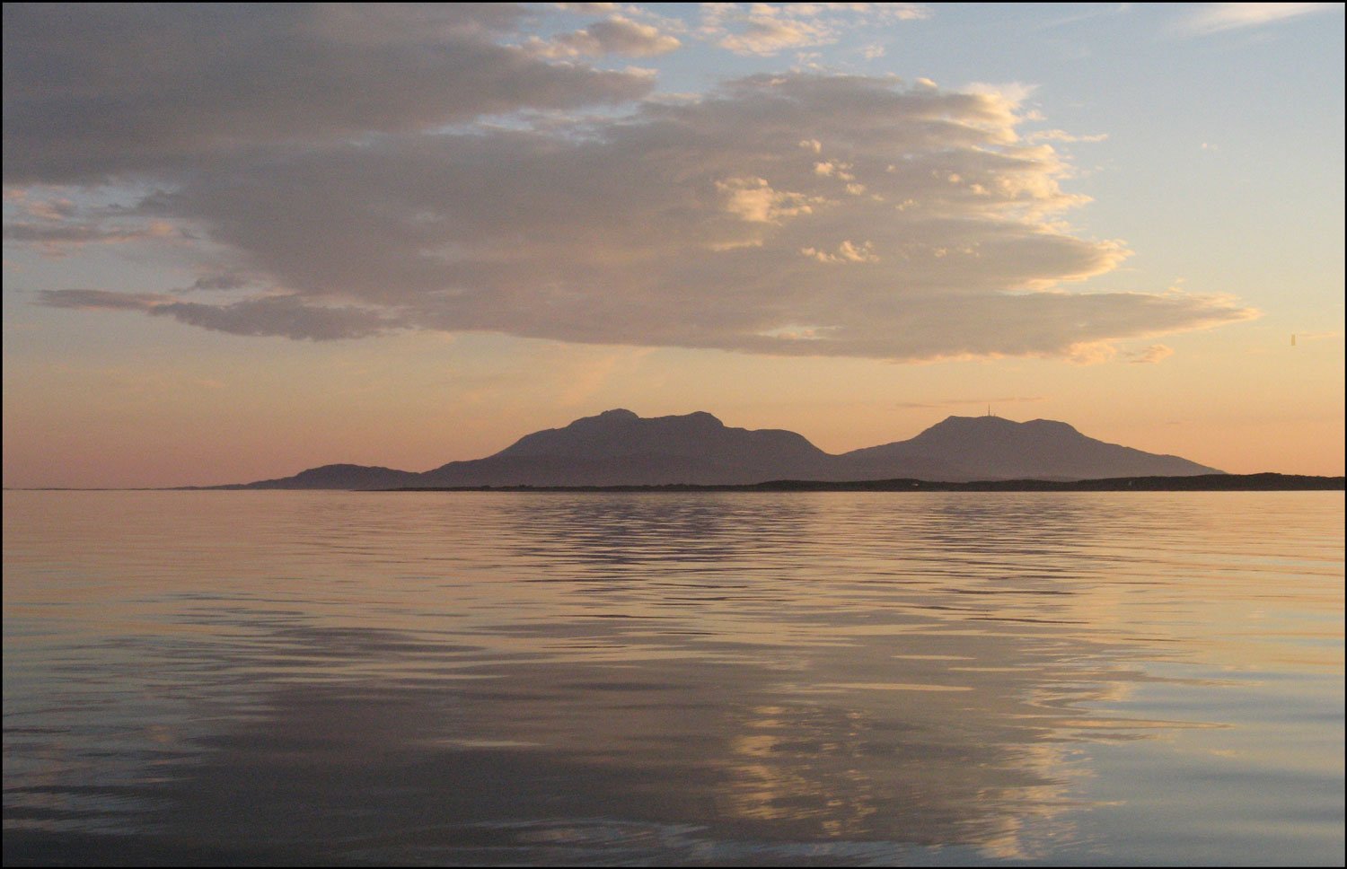
Inscribed as a UNESCO World Heritage Site in 2004, the Vega Archipelago (Vegaøyan) is one of the most unusual cultural landscapes in the world — a seascape of skerries and islands that documents an intimate, sustained relationship between humans and wildlife. For more than fifteen centuries, coastal communities here built stone shelters for nesting eider ducks, protected the birds from predators, and harvested the down from their nests after the ducklings had hatched. The eider ducks became semi-tame, returning each spring; the down they left behind — the finest natural insulation in the world — sustained the local economy. The landscape that remains reflects every element of this relationship: the eiderhouses on the outer skerries, the fishing villages, the lighthouse stations, and the overwhelming presence of the open North Atlantic.
Key facts
- UNESCO inscription: 2004 (serial number 1091)
- Location: Vega municipality, Nordland county, Norway — just south of the Arctic Circle (65.68°N)
- Scale: Approx. 6,500 islands, islets, and skerries; total area c. 1,038 km²
- Heritage practice: Eiderdown harvesting — continuous for 1,500+ years
- Key figure: The eiderdame — historically the women who managed the eider colonies
- Main island: Vega (inhabited), with ferry connection to mainland Sandnessjøen
- Eiderdown quality: Among the finest natural insulation in existence; one nest yields approx. 15–20 g of usable down
History
The practice of eiderdown harvesting here predates written records. Archaeological evidence and Norse sagas both attest to communities along the Helgeland coast maintaining eider colonies from at least the early medieval period, and oral tradition extends the practice further. The eider duck (Somateria mollissima) lines its nest with breast down to insulate its eggs; once the ducklings have left, this down — extraordinarily light and warm — can be removed from the nest without harming the bird.
What made Vega extraordinary was not the practice itself, which existed in Iceland and other Arctic coasts, but its long continuity and the degree of mutual adaptation it produced. Local women — the eiderdame — developed intricate knowledge of individual birds, building personalised stone shelters (eiderhouses) sized to eider duck dimensions, nursing injured birds, and protecting nesting sites from foxes and gulls. The birds, over generations, became less wild: they tolerated human proximity and returned predictably to the same shelters year after year.
The eiderdown trade connected Vega to continental European luxury markets for centuries. By the 20th century, synthetic insulation had eroded the commercial basis, and many communities abandoned the outer islands. The UNESCO inscription recognised not just a surviving landscape but a living practice: eiderdown harvesting continues on Vega today, though at reduced scale, carried on by a small number of families.
What you see
The outer skerries hold the most distinctive feature of the landscape: clusters of small stone eiderhouses, roughly the size and shape of a bread box, arranged in rows or scattered across bare rock. Each house has a small entrance hole sized precisely for an eider duck. Around them the landscape is otherwise austere — exposed Atlantic rock, sea, sky, and the constant sound of birds. On the larger islands, the 19th and early 20th century fishing villages survive with their boathouses (naust), drying racks, and small painted wooden houses. The lighthouse stations on the outermost skerries represent another layer of the cultural landscape — the Norwegian state infrastructure that made this remote coast navigable. The main island of Vega has a visitor centre explaining the eiderdown tradition.
Practical information
- Visitor centre: Vega Verdenarvssenter (World Heritage Centre) in Gladstad village, Vega island — open summer season
- Best season: June–August for wildlife, boat trips to outer islands, and the eiderdown experience
- Guided boat tours: Available from Gladstad to outer archipelago, including eiderhouse sites
- Ferry: Regular car ferry from Sandnessjøen (mainland) to Vega; journey approx. 1 hour
- Accommodation: Limited; book in advance for summer visits
Getting there
The gateway to the Vega Archipelago is Sandnessjøen on the Helgeland coast of Norway, approximately 700 km north of Oslo and 220 km south of Bodø. By air: fly to Sandnessjøen (SSJ) — Helgeland Airport — with connections from Oslo via Bodø or Trondheim. By car and ferry: drive the coastal road (E6 and Fv17 Kystriksveien) south from Bodø to Sandnessjøen, then take the Norled or Torghatten ferry to Vega island. The Kystriksveien coastal route (National Scenic Route) is itself worth the drive.
Nearby
- Torghatten mountain — famous mountain on the Helgeland coast with a natural hole through its summit, formed by Ice Age wave erosion; one of Norway most photographed landmarks
- Røst and Lofoten — continuation of the outer island chain north, with more dramatic scenery and the UNESCO-listed Lofoten archipelago cod-fishing heritage
- Mosjøen — historic trading town 80 km inland with one of the best-preserved wooden town centres in northern Norway
Sources
- UNESCO World Heritage List, Vegaoyan — The Vega Archipelago (ID 1091), whc.unesco.org
- Vega Verdenarvssenter (World Heritage Centre), vegaverdenarvssenter.no
- Norwegian Directorate for Cultural Heritage (Riksantikvaren), riksantikvaren.no
- Alsos, Ole Martin, ed., Vegaoyan — verdens arv fra havet, Orkana Forlag, 2004
Find it on the map
See this place and what’s around it →📷 Diventa un fotografo di Cultural Heritage Online
Condividi le tue foto dei luoghi: restano pubblicate con la tua firma come autore. Più vengono viste, più ti fai conoscere — e presto un concorso premierà le foto più apprezzate.
Accedi o registrati gratis per aggiungere una foto