
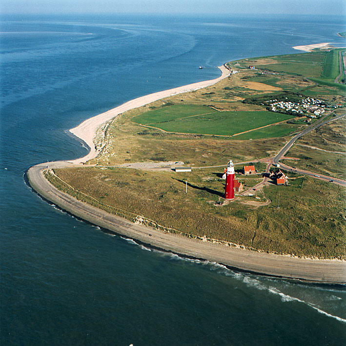
The largest and most populated island of the West Frisian Islands, Texel anchors the Wadden Sea landscape with its distinctive character and thriving maritime heritage.
At a glance
Texel is a municipality and island in North Holland, home to approximately 13,846 residents. It commands a strategic position in the Wadden Sea, situated north of Den Helder and southwest of Vlieland, forming part of the West Frisian archipelago.
History
As the largest island in the West Frisian chain, Texel has long served as a vital settlement in the Wadden Sea region. Its geographic prominence and natural resources shaped centuries of inhabitation and maritime activity across the North Sea.
What you see
The island landscape reflects its maritime heritage and agricultural traditions. Traditional settlements and period structures document the character of Frisian island life and its relationship to the surrounding Wadden Sea.
Cultural significance
Texel’s importance lies in its position within the West Frisian Islands ecosystem. The island exemplifies the distinctive culture and ecology of the Wadden Sea, one of Europe’s most significant coastal and estuarine environments.
Key facts
- Country: Netherlands
- Region: North Holland
- Population: 13,846
- Coordinates: 53.05°N, 4.8°E
- Part of the West Frisian Islands in the Wadden Sea
Practical information & getting there
Texel is accessible from Den Helder, located to the south on the Dutch mainland. The island’s settlements and natural areas can be explored by foot or bicycle, typical of the region’s transport culture.
Sources & resources
- Texel – Wikipedia
- Cultural Heritage Online
Find it on the map
See this place and what’s around it →
📷 Become a Cultural Heritage Online photographer
Share your photos of places: they stay published under your name as the author. The more they're seen, the more you get noticed — and soon a contest will reward the most appreciated photos.
Log in or sign up free to add a photo