At a glance
Tel Megiddo is a 25-metre-high mound of compacted human history rising above the Jezreel Valley in northern Israel, built from 26 distinct layers of occupation spanning c. 7000 BC to 586 BC. Its strategic position above the Via Maris — the ancient coastal road linking Egypt to Mesopotamia — made it the most contested military pass in the ancient world, site of at least 30 documented battles. Its Hebrew name, Har Megiddon, gave the world the word Armageddon: cited in Revelation 16:16 as the location of the final battle between good and evil. The site was inscribed as a UNESCO World Heritage Site in 2005 as part of the Biblical Tels group.
Key facts
- Location
- Jezreel Valley, North District, Israel — 32°35′N, 35°10′E
- UNESCO status
- World Heritage Site, 2005 (Biblical Tels — Megiddo, Hazor, Beer Sheba)
- Occupation span
- c. 7000 BC – 586 BC; 26 archaeological strata
- First excavation
- Gottlieb Schumacher, 1903–1905 (Deutsche Orient-Gesellschaft)
- Major excavation
- Oriental Institute, University of Chicago, 1925–1939
- Battle of Megiddo
- 1457 BC — Thutmose III vs. Canaanite coalition (oldest detailed battle record in history)
- Name in Revelation
- Armageddon (Greek transliteration of Har Megiddon, “Mount of Megiddo”)
History
The first settlement at Megiddo dates to the Chalcolithic period around 7000 BC, exploiting the spring at the base of the mound and the commanding view over the Jezreel Valley’s main pass. Over millennia, each successive city was built atop the rubble of its predecessor, accumulating 26 stratigraphic layers and raising the mound to its present height.
The site’s defining moment in recorded history came on the plain below in 1457 BC: the Egyptian pharaoh Thutmose III marched from Egypt to crush a coalition of Canaanite city-states. His scribes recorded the campaign in detail on the walls of the Karnak Temple at Luxor — the oldest tactical battle account in history. He chose the narrow pass through the Carmel range over the safer route, surprising his enemies and taking the city after a seven-month siege. Over subsequent millennia, Assyrian, Israelite, Babylonian, and Egyptian forces all fought here, creating the biblical archetype of a battlefield.
Archaeological highlights include the Solomonic-era stables (10th century BC), built to accommodate up to 450 horses and chariot teams; and an extraordinary 9th-century BC water system — a vertical shaft 35 metres deep cut through the mound, connected by a 65-metre horizontal tunnel to a spring outside the city walls, allowing inhabitants to draw water without exposure to siege. The tunnel remains accessible to visitors today.
What you see
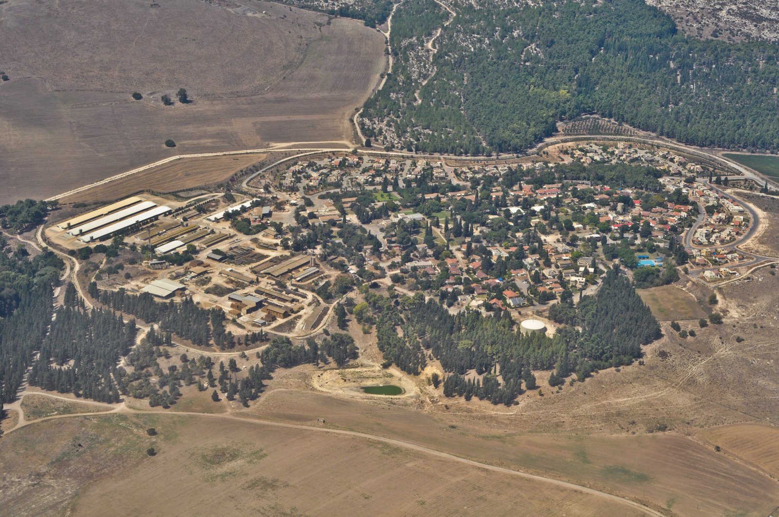
Standing on Megiddo’s summit, the horizon-spanning Jezreel Valley stretches in every direction — flat, green, and immediately legible as the strategic ground that made this mound the site of 30 battles. The excavated remains span multiple periods simultaneously: Bronze Age Canaanite temples overlap with the Solomonic administrative compound; the chariot stables are adjacent to an Israelite grain silo large enough to hold 12,800 bushels. Visitors descend into the water tunnel via a modern staircase and walk the full 65-metre underground passage, emerging outside the tel at the original spring — the same route used in the 9th century BC. The site museum presents the stratigraphic sequence and selected finds including ivories, scarabs, and a 3,000-year-old board game.
Practical information
- Address
- Megiddo National Park, Route 66, Megiddo Junction, Israel
- Opening hours
- Saturday–Thursday 08:00–17:00; Friday 08:00–16:00 (last entry 1 hour before close)
- Entry fee
- Paid admission; Israel Nature and Parks Authority combined pass available
- Water tunnel
- Included in admission; 100 steps descent required; not suitable for those with mobility limitations
- Duration
- Allow 2–3 hours for the tel, museum, and water tunnel
Getting there
Tel Megiddo lies on Route 66, approximately 30 km southeast of Haifa and 35 km northwest of Nazareth. By car from Haifa or Tel Aviv (1.5 hours from TLV), take Route 65 to Route 66 east toward Afula; the park entrance is signed at the Megiddo Junction. No regular direct bus serves the site; the nearest bus stop (Megiddo Junction) is served by routes between Haifa and Afula, with a 1.5 km walk to the entrance. Organised tours from Tel Aviv, Nazareth, or Haifa are the most practical option without a car.
Nearby
- Nazareth — 35 km southeast; the largest Arab city in Israel; Church of the Annunciation; vibrant old market
- Mount Carmel and Muhraqa — 20 km west; Carmelite monastery marking the site of Elijah’s contest with the prophets of Baal; views over the Jezreel Valley
- Caesarea Maritima — 50 km southwest on the coast; Herod’s port city and Roman amphitheatre; UNESCO-listed
- Tel Hazor — 60 km north; second site of the Biblical Tels UNESCO inscription; Canaanite palace with extensive archive
Sources
- Megiddo, Israel — Wikipedia
- Biblical Tels — UNESCO World Heritage
- Megiddo National Park — Israel Nature and Parks Authority
Find it on the map
See this place and what’s around it →📷 Diventa un fotografo di Cultural Heritage Online
Condividi le tue foto dei luoghi: restano pubblicate con la tua firma come autore. Più vengono viste, più ti fai conoscere — e presto un concorso premierà le foto più apprezzate.
Accedi o registrati gratis per aggiungere una fotoDo you manage this place?
This page is read by travellers and heritage enthusiasts who find it on Google. Keep it accurate — and make it work for you. Free for non-profit heritage institutions.