
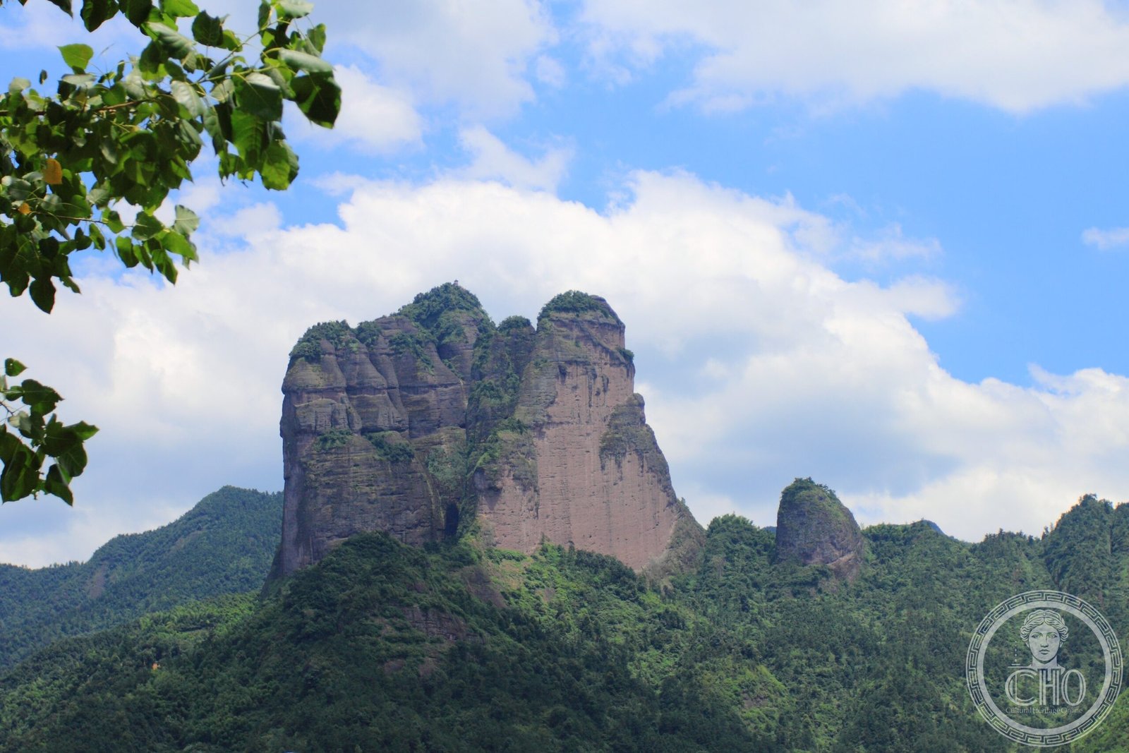
Three dramatic peaks rising above Zhejiang province display the striking red-rock formations of Danxia geology, now protected as a World Heritage site.
At a glance
Mount Jianglang comprises three peaks arranged in a distinctive north-to-south formation. Lang Feng, the northernmost and highest summit, reaches 816.8 metres (2,680 feet). The mountain’s name derives from its characteristic “river-shaped” silhouette against the sky.
History
The mountain gained international recognition when it was inscribed onto the World Heritage List in August 2010 as part of the broader China Danxia designation. In September 2013, extreme athlete Jeb Corliss performed a wingsuit flight between two of the peaks, launching from a helicopter—a feat that brought global attention to the site’s dramatic topography.
What you see
Mount Jianglang exemplifies Danxia landform—a distinctive geological formation characterised by steep cliffs and vibrant russet-hued rock faces. The three peaks are Ya Feng, Ling Feng, and Lang Feng. Their vertical striations and weathered profiles create a landscape of striking visual drama and geological significance.
Cultural significance
The mountain represents a globally important example of Danxia geology, a rare and fragile landscape found predominantly in southeastern China. Its World Heritage status reflects both its scientific value and its role in demonstrating the erosive power of subtropical monsoon climates over millions of years.
Key facts
- Location: Jiangshan, Zhejiang Province, China
- Coordinates: 28.530°N, 118.565°E
- Highest peak: Lang Feng, 816.8 m (2,680 ft)
- UNESCO status: World Heritage site (inscribed August 2010 as part of China Danxia)
- Geological formation: Danxia landform
Practical information & getting there
Mount Jianglang is accessible from Jiangshan city. The site’s dramatic terrain requires visitors to be physically fit for hiking. The World Heritage designation ensures ongoing preservation and regulated access to protect this remarkable geological formation.
Sources & resources
Find it on the map
See this place and what’s around it →📷 Become a Cultural Heritage Online photographer
Share your photos of places: they stay published under your name as the author. The more they're seen, the more you get noticed — and soon a contest will reward the most appreciated photos.
Log in or sign up free to add a photoIs this page about you?
This page is read by travellers and heritage enthusiasts who find it on Google. Tell us how you are connected to this place and we will take it from there.