
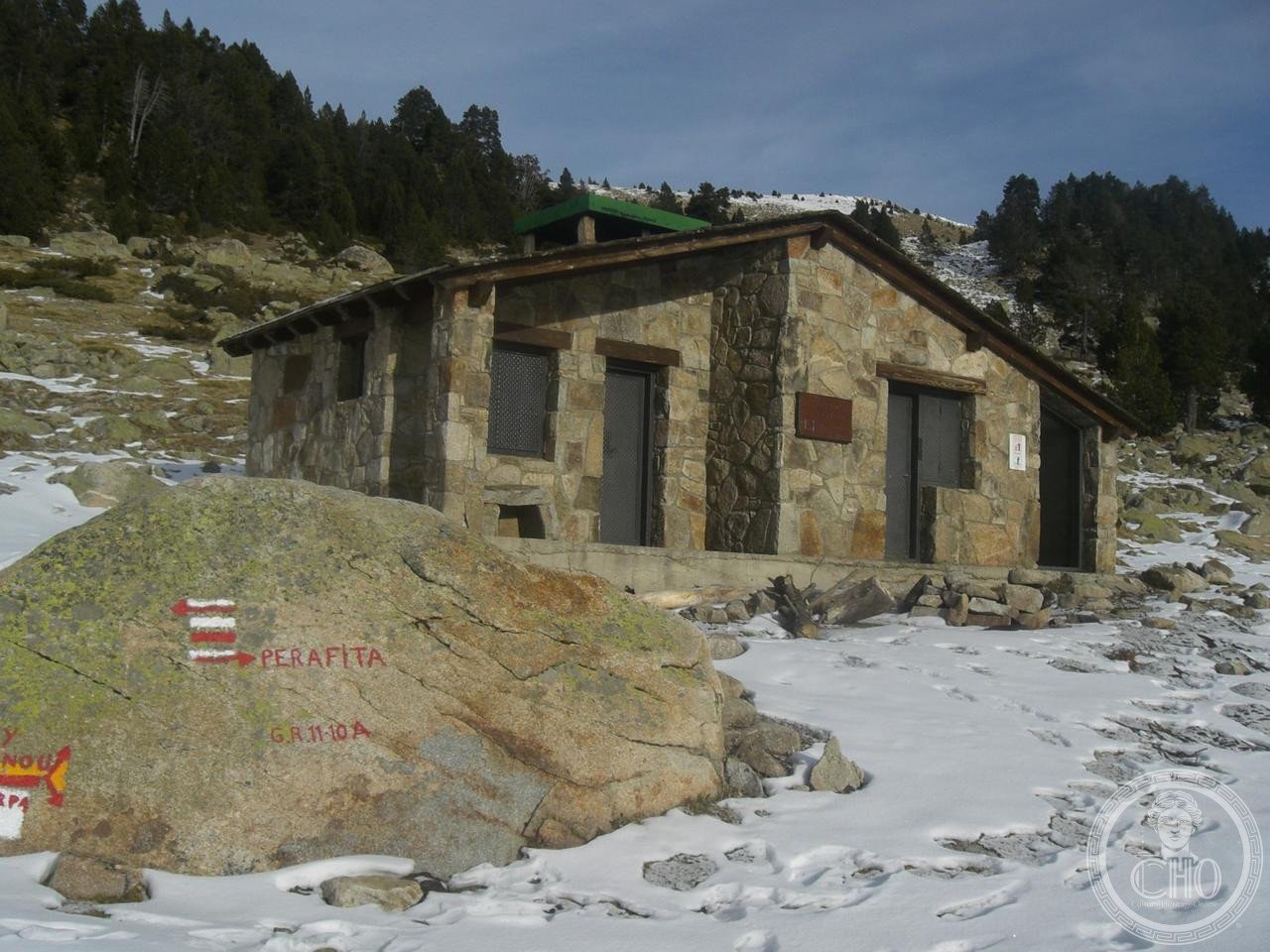
A pristine glacial valley spanning nearly a tenth of Andorra, this undeveloped landscape shelters rare wildlife and embodies the nation’s natural and cultural heritage.
At a glance
The Madriu-Perafita-Claror Valley covers 42.47 square kilometres in southeastern Andorra, representing approximately 9% of the country’s total territory. Its isolation has preserved exceptional ecological value, making it a sanctuary for endangered species and a landscape of remarkable integrity in the Pyrenees.
History
Shaped by glaciation, the valley formed through ancient ice movements that carved its characteristic topography. The undeveloped nature of this landscape reflects centuries of limited human intervention, allowing natural processes to remain largely uninterrupted. In recognition of its outstanding universal value, the valley became Andorra’s first and only UNESCO World Heritage Site in 2004, with a modest extension granted in 2006.
What you see
The valley presents a glacial landscape of alpine terrain, with dramatic slopes and the characteristic forms of ice-carved geography. Its undisturbed character means few constructed features dominate the vista—instead, the environment itself, shaped by water and ice over millennia, forms the primary visual and ecological interest.
Cultural significance
Recognised as the “spiritual heart” of Andorra, the valley holds profound meaning for the nation beyond its scientific importance. It forms part of the second largest watershed basin in Andorra, sustaining downstream communities and ecosystems. The site’s designation as a World Heritage Site acknowledges both its natural rarity and its role as a symbol of Andorran identity and environmental stewardship.
Key facts
- Country: Andorra
- Area: 42.47 km²
- Represents approximately 9% of Andorra’s territory
- UNESCO World Heritage Site: 2004 (extended 2006)
- Coordinates: 42.49°N, 1.60°E
- Habitat for rare and endangered wildlife
Practical information & getting there
The valley’s remote and protected status limits infrastructure development. Access requires careful planning, and visitors should respect conservation regulations. Contact local Andorran tourism authorities for current information on visiting guidelines and conditions.
Sources & resources
Find it on the map
See this place and what’s around it →📷 Become a Cultural Heritage Online photographer
Share your photos of places: they stay published under your name as the author. The more they're seen, the more you get noticed — and soon a contest will reward the most appreciated photos.
Log in or sign up free to add a photo