
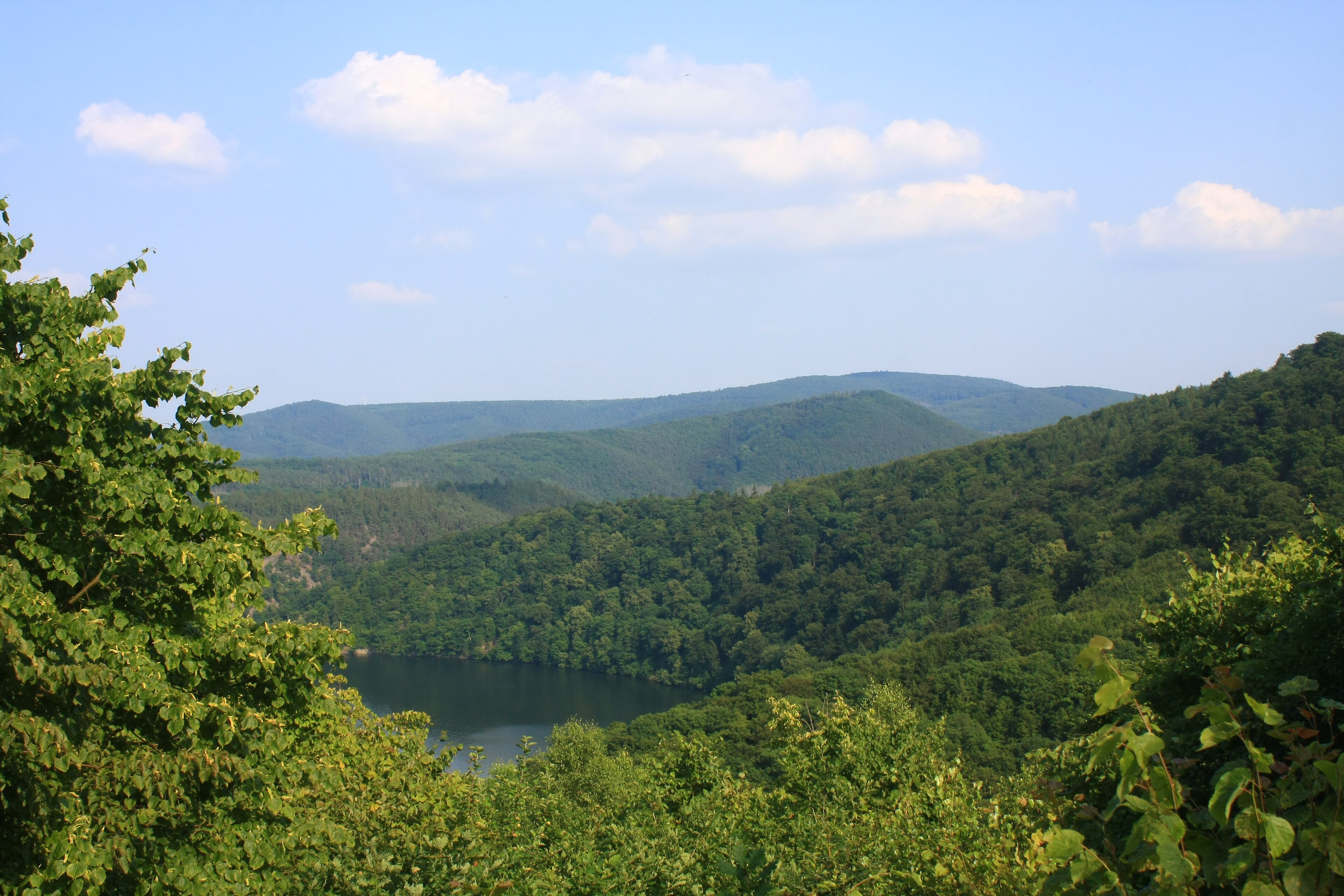
A protected beech forest reserve in northern Hesse, designated a UNESCO World Heritage Site for its significance to European ecological and forest history.
At a glance
Kellerwald-Edersee National Park covers 57.38 square kilometers of ancient beech woodland in the Kellerwald low mountain range, south of the Edersee lake. The forest ecosystem preserves a continuous record of European vegetation and forest dynamics spanning millennia. Administration operates from the nearby town of Bad Wildungen.
History
The beech forests of Kellerwald have persisted through major climatic shifts since the Last Glacial Period, their growth patterns recording deep time in their rings and structure. Official protection came with the establishment of the national park, followed by UNESCO recognition on 25 June 2011 as part of the transnational Ancient and Primeval Beech Forests site.
What you see
The landscape is defined by continuous beech forest, a deciduous woodland characteristic of temperate central Europe. Ancient trees and natural succession demonstrate how beech populations respond to climate and environmental change over centuries. The terrain encompasses the northern Kellerwald range with views toward Edersee lake.
Cultural significance
These forests serve as a living archive of European forest ecology. The beech woodland testifies to post-glacial vegetation recovery and the adaptability of forest ecosystems to environmental pressures. UNESCO recognition reflects the site’s value as evidence of natural processes fundamental to understanding European biodiversity and climate resilience.
Key facts
- Area: 57.38 km²
- Location: Waldeck-Frankenberg county, Hesse, Germany
- Coordinates: 51.166, 9
- UNESCO World Heritage Site: Ancient and Primeval Beech Forests of the Carpathians and Other Regions of Europe (inscribed 2011)
- Administration: Bad Wildungen
Practical information & getting there
The park is accessed via the Waldeck-Frankenberg region in northern Hesse. Bad Wildungen serves as the administrative hub and nearest town. For current visitor information, trail conditions, and seasonal access, consult the national park administration office.
Sources & resources
Find it on the map
See this place and what’s around it →📷 Become a Cultural Heritage Online photographer
Share your photos of places: they stay published under your name as the author. The more they're seen, the more you get noticed — and soon a contest will reward the most appreciated photos.
Log in or sign up free to add a photo