
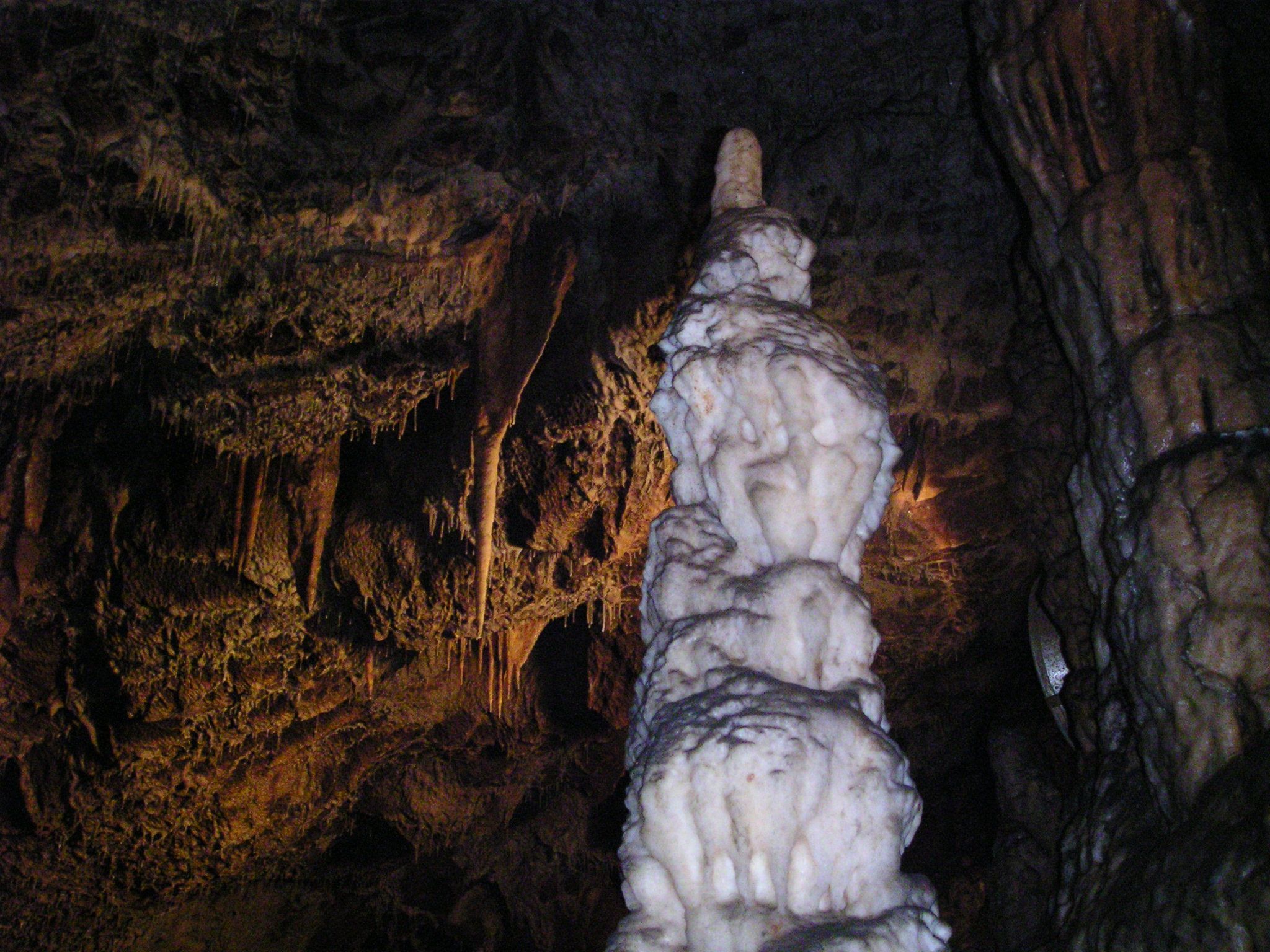
A limestone landscape in northern Hungary renowned for its distinctive karst formations and extensive cave systems.
At a glance
Aggtelek National Park protects one of Hungary’s most geologically significant regions. The park encompasses the Aggtelek Karst, a dramatic terrain shaped by thousands of years of water erosion through limestone bedrock.
History
The Aggtelek Karst has been recognized as a landscape of exceptional geological importance. The establishment of the national park reflects Hungary’s commitment to preserving this unique natural heritage for scientific study and public understanding.
What you see
The park’s defining features are its surface formations and extensive cave systems carved from limestone. The karst topography creates a dramatic landscape of sinkholes, valleys, and underground passages that demonstrate the power of subterranean water flow over millennia.
Cultural significance
Aggtelek represents a crucial natural archive of geological processes. The caves and karst formations provide insight into how limestone landscapes evolve, making the park valuable for education, research, and understanding Earth’s dynamic geology.
Key facts
- Location: Northern Hungary
- Coordinates: 48.47573°N, 20.48687°E
- Primary features: Karst formations and cave systems
- Geology: Limestone landscape
Practical information & getting there
The park is located in the Aggtelek Karst region of northern Hungary. Visitors can explore the distinctive landscape and cave systems. Contact local tourism information for current access details, guided tours, and visiting hours.
Sources & resources
- Aggtelek National Park (Wikipedia)
- Cultural Heritage Online
Find it on the map
See this place and what’s around it →
📷 Become a Cultural Heritage Online photographer
Share your photos of places: they stay published under your name as the author. The more they're seen, the more you get noticed — and soon a contest will reward the most appreciated photos.
Log in or sign up free to add a photo