Heritage

UNESCO Sites Near Sigiriya: What to See

UNESCO Sites Near Sigiriya: What to See

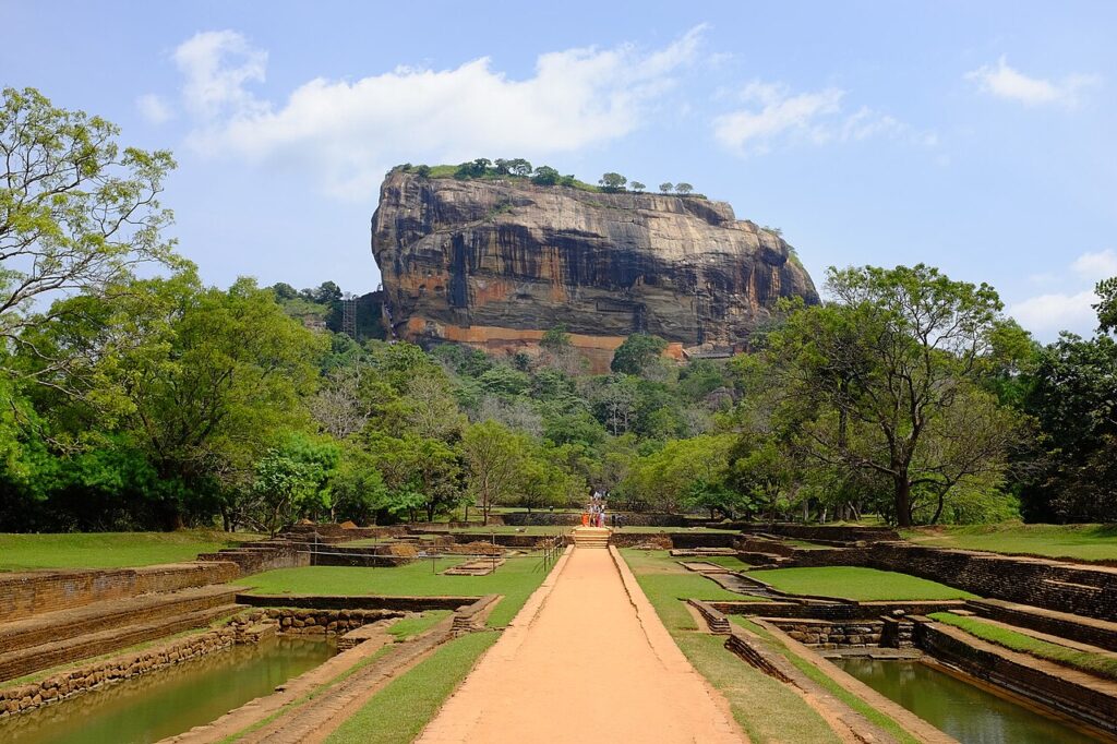
Sigiriya is a 200-metre granite inselberg in central Sri Lanka where King Kashyapa I built a fortified palace between 477 and 495 CE after seizing the throne by killing his father. The site preserves 22 surviving frescoes on the rock face painted at 100 metres above ground, a gravity-fed fountain system still functional today, and a polished Mirror Wall inscribed by 8th–10th-century visitors in some of the oldest surviving Sinhala literary writing. Anuradhapura (85 km northwest) and Polonnaruwa (60 km northeast) are both reachable within 90 minutes.
UNESCO Sites Near Polonnaruwa: What to See

UNESCO Sites Near Polonnaruwa: What to See

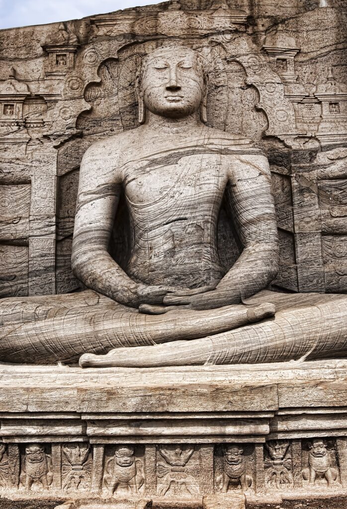
Polonnaruwa, the second capital of Sri Lanka from 1017 to 1215 CE, was the most complete medieval city on the island before its abandonment following the collapse of the dry-zone irrigation network. The site’s Gal Vihara presents four colossal Buddhist figures carved from a single granite face, the largest a 14-metre reclining parinirvana figure, and the nearby Parakrama Samudra reservoir — 22 square kilometres — remains in agricultural use today. Anuradhapura (100 km northwest) and Sigiriya (60 km northwest) are both reachable within 90 minutes.

UNESCO Sites Near Anuradhapura: What to See

UNESCO Sites Near Anuradhapura: What to See

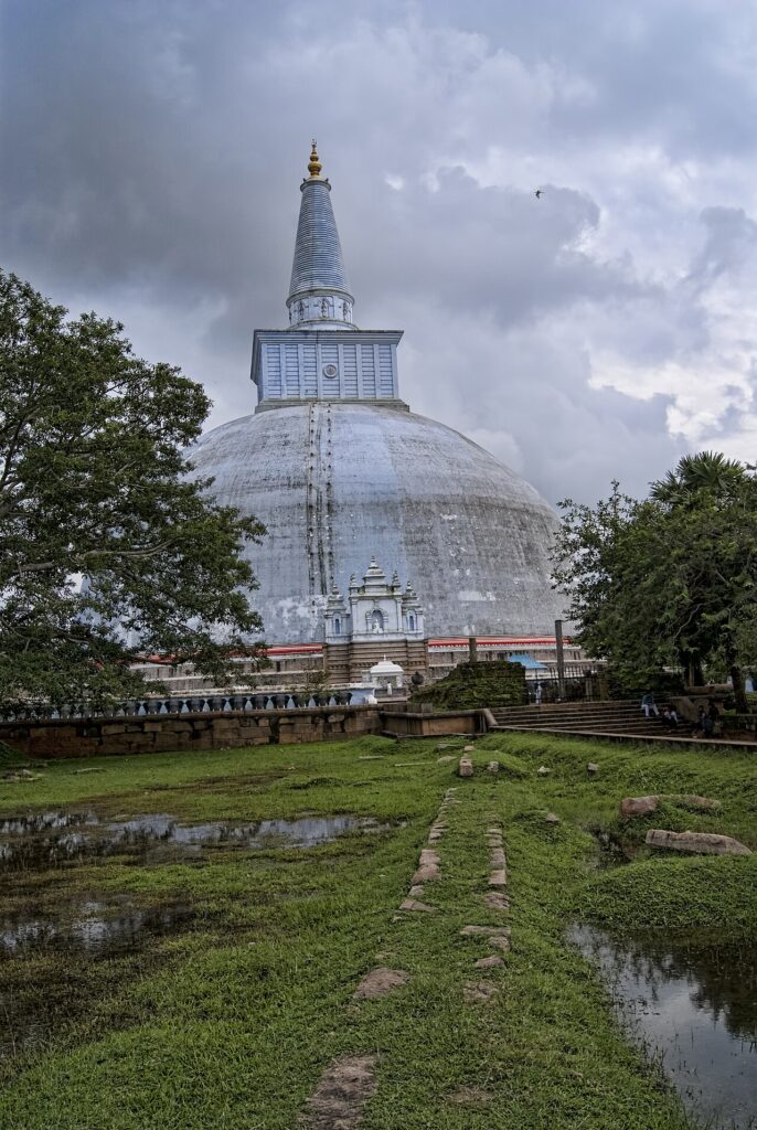
Anuradhapura, the first capital of Sri Lanka from 380 BCE to 1017 CE, contains ten UNESCO-protected monuments within its sacred precinct, including the 103-metre-diameter Ruwanwelisaya Stupa built by King Dutugamunu in 161 BCE and the Sri Maha Bodhi — the world’s oldest historically documented tree, planted in 288 BCE from a cutting of the original Bodhi tree at Bodh Gaya. Three additional UNESCO World Heritage Sites lie within 215 kilometres: Polonnaruwa (100 km), Sigiriya (85 km), and Kandy (210 km).

UNESCO Sites Near Vigan: What to See

UNESCO Sites Near Vigan: What to See

Vigan, the only intact pre-20th-century Spanish colonial city in the Philippines (UNESCO 1999), preserves 190 heritage buildings fusing Chinese, Spanish, and Ilocano building traditions on a cobblestoned grid founded in 1572; four further UNESCO sites lie within 600 kilometres, including the 2,000-year-old Ifugao rice terraces 200 km east and the world’s longest navigable underground river at Puerto Princesa 300 km south on Palawan.

UNESCO Sites Near Phong Nha-Kẻ Bàng: What to See

UNESCO Sites Near Phong Nha-Kẻ Bàng: What to See

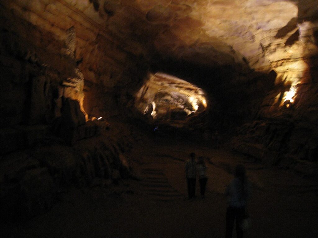
Phong Nha-Kẻ Bàng National Park in central Vietnam holds the world’s largest cave — Sơn Đoòng, 5.5 km long and 150 m tall — within a 400-million-year-old karst system of more than 300 caves, including Phong Nha cave, navigable by boat for 1.5 km and used as a wartime supply route and field hospital during the 1965–1973 bombing campaigns. Four UNESCO World Heritage Sites lie within 330 km: Hạ Long Bay and Tràng An to the north, and Huế and Hội An to the south.

UNESCO Sites Near Hạ Long Bay: What to See

UNESCO Sites Near Hạ Long Bay: What to See

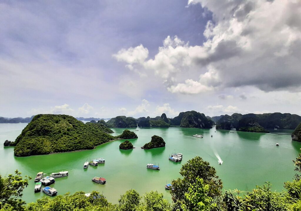
Hạ Long Bay’s 1,969 limestone karst islands, listed by UNESCO in 1994 and extended in 2000 to cover 1,553 square kilometres, anchor a southward corridor of four further UNESCO World Heritage Sites: Tràng An karst (2014), Phong Nha-Kẻ Bàng caves (2003), the Citadel of Hồ Dynasty (2011), and the trading port of Hội An (1999), connected by a single coastal rail and road corridor.

UNESCO Sites Near Luang Prabang: What to See

UNESCO Sites Near Luang Prabang: What to See

Luang Prabang, inscribed by UNESCO in 1995, preserves 32 Buddhist temples and French colonial architecture on a Mekong river peninsula that served as the royal capital of Lane Xang from 1353. Within 700 kilometres lie two further UNESCO sites: the Plain of Jars (2019), an Iron Age field of stone funerary vessels on the heavily bombed Xieng Khouang Plateau, and Vat Phou (2001), a 5th–12th-century Khmer temple with the oldest known Sanskrit inscription in the region.

UNESCO Sites Near Sukhothai: What to See

UNESCO Sites Near Sukhothai: What to See

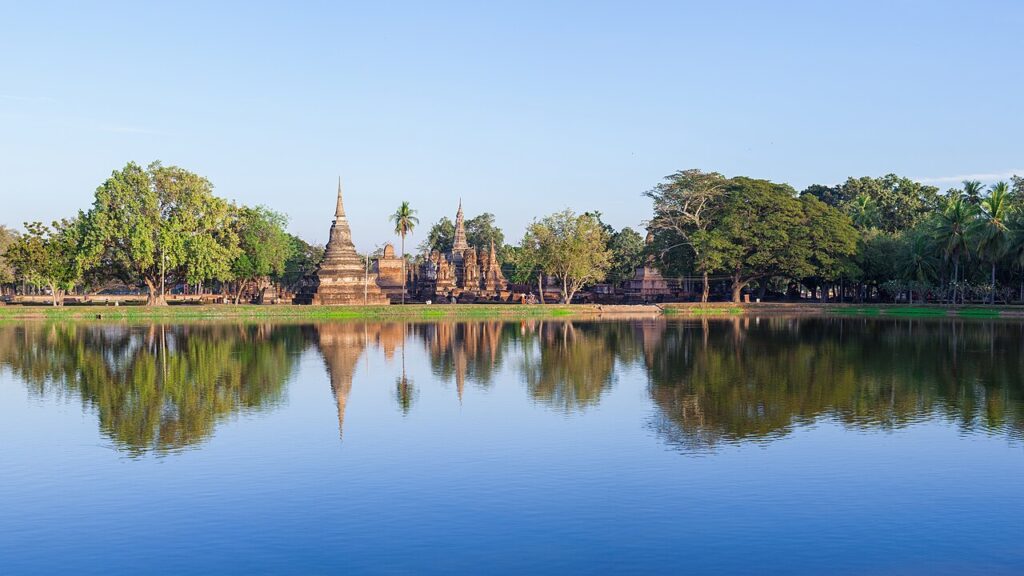
Sukhothai, founded in 1238 as the first independent Thai kingdom, preserves 193 monuments across 70 square kilometres and is where King Ramkhamhaeng invented the Thai alphabet in 1283. Its UNESCO listing covers two additional cities: Si Satchanalai (57 km north), source of the Sawankhalok ceramics found across maritime Southeast Asia, and Kamphaeng Phet (70 km south), a fortification city with 40 surviving ruins. Ayutthaya, 340 km south, was the successor kingdom that absorbed Sukhothai in 1438.

UNESCO Sites Near Ayutthaya: What to See

UNESCO Sites Near Ayutthaya: What to See

Ayutthaya, capital of the Siamese kingdom from 1351 to 1767 and home to an estimated one million people by 1700, was destroyed by Burmese forces in a two-day assault and never rebuilt. Its three royal chedis at Wat Phra Si Sanphet, built 1492–1503, enshrined the ashes of three consecutive kings. Within 500 km, the UNESCO-listed Sukhothai (340 km north, founded 1238) and the Bronze Age site of Ban Chiang (500 km northeast, inhabited from 3600 BCE) represent the deeper layers of Thai civilisation.

Scroll to Top