
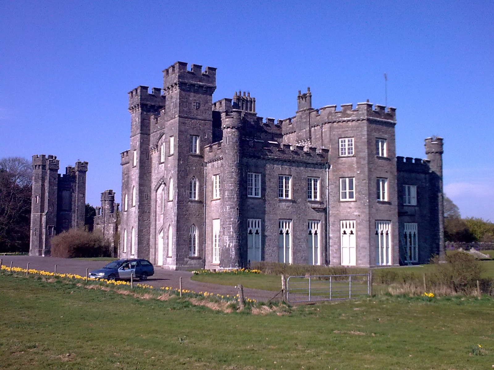
A rural townland northeast of Mullingar, home to Knockdrin Castle and the Westmeath Hunt, situated along a historic route through County Westmeath.
At a glance
Knockdrin is a townland and electoral division located 5.6 kilometers northeast of Mullingar in County Westmeath. The R394 regional road, which connects Mullingar to Castlepollard, passes through the area. The townland’s most significant landmark is Knockdrin Castle.
History
Limited historical detail is available in standard sources for this rural townland. The presence of Knockdrin Castle indicates medieval settlement in the region.
What you see
Knockdrin Castle stands as the area’s principal architectural feature. The castle represents the fortified heritage typical of County Westmeath’s Anglo-Norman and medieval landscape.
Cultural significance
Knockdrin is known as the home of the Westmeath Hunt, a traditional field sport organization. The townland embodies the rural character and sporting heritage of Ireland’s midlands.
Key facts
- Country: Ireland
- County: Westmeath
- Nearest town: Mullingar (5.6 km southwest)
- Coordinates: 53.57361111°N, 7.315°W
- Main road: R394 (Mullingar–Castlepollard route)
Practical information & getting there
Knockdrin is accessible via the R394 regional road from Mullingar, which lies approximately 5.6 kilometers to the southwest. The townland is situated in County Westmeath in Ireland’s midlands region.
Sources & resources
Find it on the map
See this place and what’s around it →📷 Become a Cultural Heritage Online photographer
Share your photos of places: they stay published under your name as the author. The more they're seen, the more you get noticed — and soon a contest will reward the most appreciated photos.
Log in or sign up free to add a photoIs this page about you?
This page is read by travellers and heritage enthusiasts who find it on Google. Tell us how you are connected to this place and we will take it from there.