
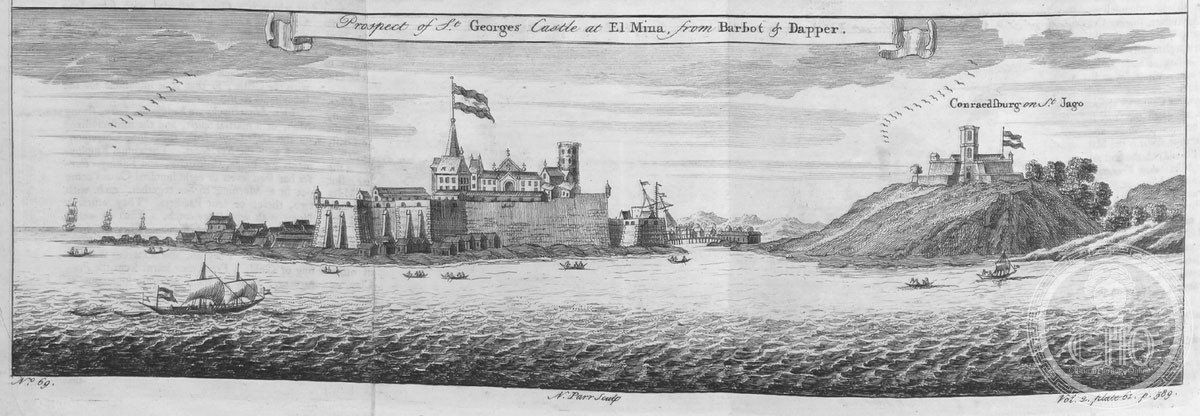
Fort Coenraadsburg
A small Portuguese fort built to defend Elmina Castle, this structure stands as a solemn witness to the Atlantic slave trade and the colonial scramble for West African gold.
At a glance
Fort Coenraadsburg, also known as Fort São Tiago da Mina, faces Elmina Castle across the harbor. The fort was constructed around a Portuguese chapel dedicated to Saint Jago, serving a dual purpose: religious sanctuary and military stronghold. Its modest size belies its historical weight in the wider narrative of European colonialism in Africa.
History
Portuguese traders established the chapel and fortress to protect their principal trading post at Fort Elmina from rival attacks. The fort’s strategic placement opposite the larger castle created a coordinated defense system controlling access to the harbor and the lucrative coastal trade. Fort Coenraadsburg became integral to the Portuguese commercial network, facilitating both the gold trade and, tragically, the forced enslavement of African people bound for the Americas.
What you see
The fort’s design reflects Portuguese military architecture adapted for West African conditions. A chapel dedicated to Saint Jago forms the structure’s core, surrounded by defensive walls. The compact layout maximizes defensive capability while accommodating the small garrison stationed there during the height of Portuguese activity.
Cultural significance
Fort Coenraadsburg represents a critical junction in world history—where European commercial ambitions, African agency, and the transatlantic slave trade intersected. Its preservation provides essential testimony to a period whose consequences shaped global demographics, economics, and cultures for centuries. The fort’s UNESCO inscription acknowledges this painful but essential historical record.
Key facts
- Country: Ghana
- Coordinates: 5.08474°N, 1.3508°W
- Also known as: Fort São Tiago da Mina
- UNESCO World Heritage Site (inscribed 1979)
Practical information & getting there
The fort is located in Elmina, a coastal town in Ghana’s Central Region. It remains visible from the waterfront, though access and visiting hours may vary. We recommend confirming current conditions before your visit.
Sources & resources
Find it on the map
See this place and what’s around it →📷 Diventa un fotografo di Cultural Heritage Online
Condividi le tue foto dei luoghi: restano pubblicate con la tua firma come autore. Più vengono viste, più ti fai conoscere — e presto un concorso premierà le foto più apprezzate.
Accedi o registrati gratis per aggiungere una fotoDo you manage this place?
This page is read by travellers and heritage enthusiasts who find it on Google. Keep it accurate — and make it work for you. Free for non-profit heritage institutions.