Blythe Intaglios
Giant figures scraped into the California desert floor near the Colorado River, the Blythe Intaglios are geoglyphs ranging from 30 to 50 metres in length — invisible from the ground, spectacular from the air — attributed to the Mojave and Quechan peoples and comparable in concept to the famous Nazca Lines of Peru.
At a glance
Located near Blythe in Riverside County, California, the Blythe Intaglios are a group of giant figures created by scraping away the darker desert varnish (patina) on the surface of gravel terraces beside the Colorado River, revealing the lighter soil beneath. The group includes human figures, a four-legged animal (interpreted as a horse or mountain lion), and spiral designs. The largest human figure measures approximately 50 metres from head to toe. Attributed to the Mojave and Quechan peoples, the geoglyphs are estimated to date from around 900 to 1200 CE, though some researchers argue for earlier dates. Pilot George Palmer spotted them from the air in 1932 — the first recorded outside-observer awareness of the figures. Designated a National Historic Landmark, the site has been surrounded by wire fencing since 1974 to protect the figures from vehicle damage.
Key facts
- Type: Geoglyphs (intaglios — scraped into the desert surface)
- Date: c. 900–1200 CE (Late Prehistoric; possibly earlier dates proposed)
- Scale: Figures 30–50 metres in length
- Method: Desert varnish removed to expose lighter subsoil; no raised material
- Figures: Human forms, a four-legged animal (horse or mountain lion), spirals
- Attributed to: Mojave and Quechan (Yuma) peoples
- Discovery: 1932, pilot George Palmer (aerial observation)
- Protection: National Historic Landmark; wire fencing installed 1974
- Location: Blythe, Riverside County, California, USA
History and cultural context
The Colorado River valley around Blythe has been inhabited for thousands of years, with the Mojave and Quechan (Yuma) peoples among the most recent indigenous communities before European contact. The intaglio technique — scraping desert varnish to reveal lighter gravel — is a practice found across the American South-West and represents a distinct tradition from the raised-line geoglyphs seen elsewhere. The figures near Blythe belong to a broader category of desert geoglyphs scattered across the lower Colorado River region, though the Blythe examples are among the largest and best preserved.
The geoglyphs’ purpose is not precisely known but is understood in the context of Mojave and Quechan cosmology and ritual practice. Oral traditions recorded by anthropologists in the early twentieth century link large ground figures in the Colorado desert to creation narratives and ceremonial use — the figures may represent culture heroes or supernatural beings from creation stories. Their enormous scale (visible only from the air) has led to speculation about whether they were intended for viewing from elevated vantage points, or whether the act of creation was itself the purpose, with the figures existing for spirit beings or gods rather than for human spectators.
Pilot George Palmer became the first recorded outside observer to notice the figures in 1932, flying over the desert. His account prompted early visits by archaeologists and helped establish the site’s significance. Subsequent research confirmed multiple figures grouped in three separate complexes along the river terraces. As off-road vehicle activity in the Mojave began damaging archaeological sites in the 1960s and 70s, the Bureau of Land Management installed protective wire fencing around the Blythe geoglyphs in 1974. The site was designated a National Historic Landmark in 1964.
What you see today
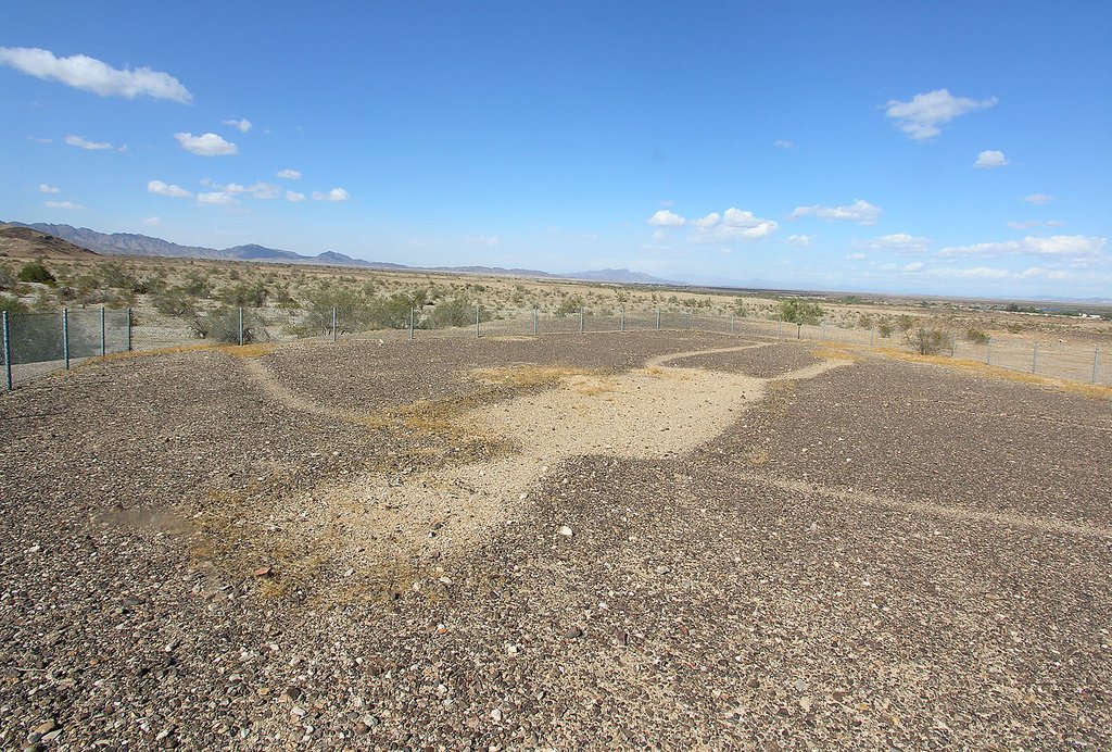
The geoglyphs themselves are nearly impossible to appreciate from ground level — the desert floor looks like scattered pale gravel within a wire enclosure. The figures only become legible from the air or from interpretive photographs at the site. Standing at the fence line, the scale of the largest figure (roughly 50 metres long) can be grasped by pacing the perimeter, but the image itself remains abstract.
Three separate complexes of figures are spread along the desert terraces north of Blythe, each protected by fencing. The Bureau of Land Management maintains interpretive signage at the site. Aerial tours are the most rewarding way to experience the Blythe Intaglios — several small-plane operators in the region offer overflights. The surrounding landscape of the lower Colorado desert provides dramatic context: flat gravel terraces, the distant green corridor of the Colorado River, and the Chemehuevi and Chocolate Mountains on the horizon.
Practical information
- Address: North of Blythe on US-95, Riverside County, California (BLM land)
- Access: Accessible year-round via dirt roads off US-95; passenger car suitable in dry conditions
- Admission: Free (BLM public land)
- Best approach: Aerial overflight for visual appreciation; ground visit for cultural context
- Nearest town: Blythe, California (~15 km S) — services, fuel, accommodation
- Climate: Extreme summer heat (June–September); best visited October–April
Getting there
The Blythe Intaglios lie approximately 15 km north of downtown Blythe on US-95, near the California–Arizona border and the Colorado River. By car, take US-95 north from Blythe; the BLM access road is signed. The town of Blythe is served by Interstate 10, about 230 km east of Palm Springs or 300 km west of Phoenix. No public transport serves the site directly. The closest major airport is Palm Springs International (~230 km W) or Phoenix Sky Harbor (~300 km E).
Nearby
- Colorado River Indian Tribes Museum, Parker, Arizona — covers the cultures of the Mojave, Chemehuevi, Navajo and Hopi communities of the lower Colorado River (~80 km N)
- Palms Springs Art Museum — major regional museum with strong collections related to Native American culture (~230 km W)
- Joshua Tree National Park — iconic desert landscape with ancient petroglyphs and rock art (~150 km W)
- Topock Maze (Mystic Maze) — another Mojave rock alignment / geoglyph site on the Colorado River (~80 km N)
Sources
- Hartmann, W. K. et al. (1987). “Blythe Intaglios.” In Ancient Land: Ancestral Places. Museum of Northern Arizona Press.
- Norris, R. P. & Hamacher, D. W. (2011). “Astronomical Symbolism in Australian Aboriginal Rock Art.” Rock Art Research 28(1).
- Bureau of Land Management — California Desert District — blm.gov
- Wikipedia contributors. “Blythe Intaglios.” Wikipedia, The Free Encyclopedia. Accessed 2026-06.
Find it on the map
See this place and what’s around it →📷 Diventa un fotografo di Cultural Heritage Online
Condividi le tue foto dei luoghi: restano pubblicate con la tua firma come autore. Più vengono viste, più ti fai conoscere — e presto un concorso premierà le foto più apprezzate.
Accedi o registrati gratis per aggiungere una foto