
A vast medieval and early modern water management system engineered to power the ore mines of the Harz mountains—one of the world’s most significant historic mining hydraulic networks, now a UNESCO World Heritage Site.
At a glance
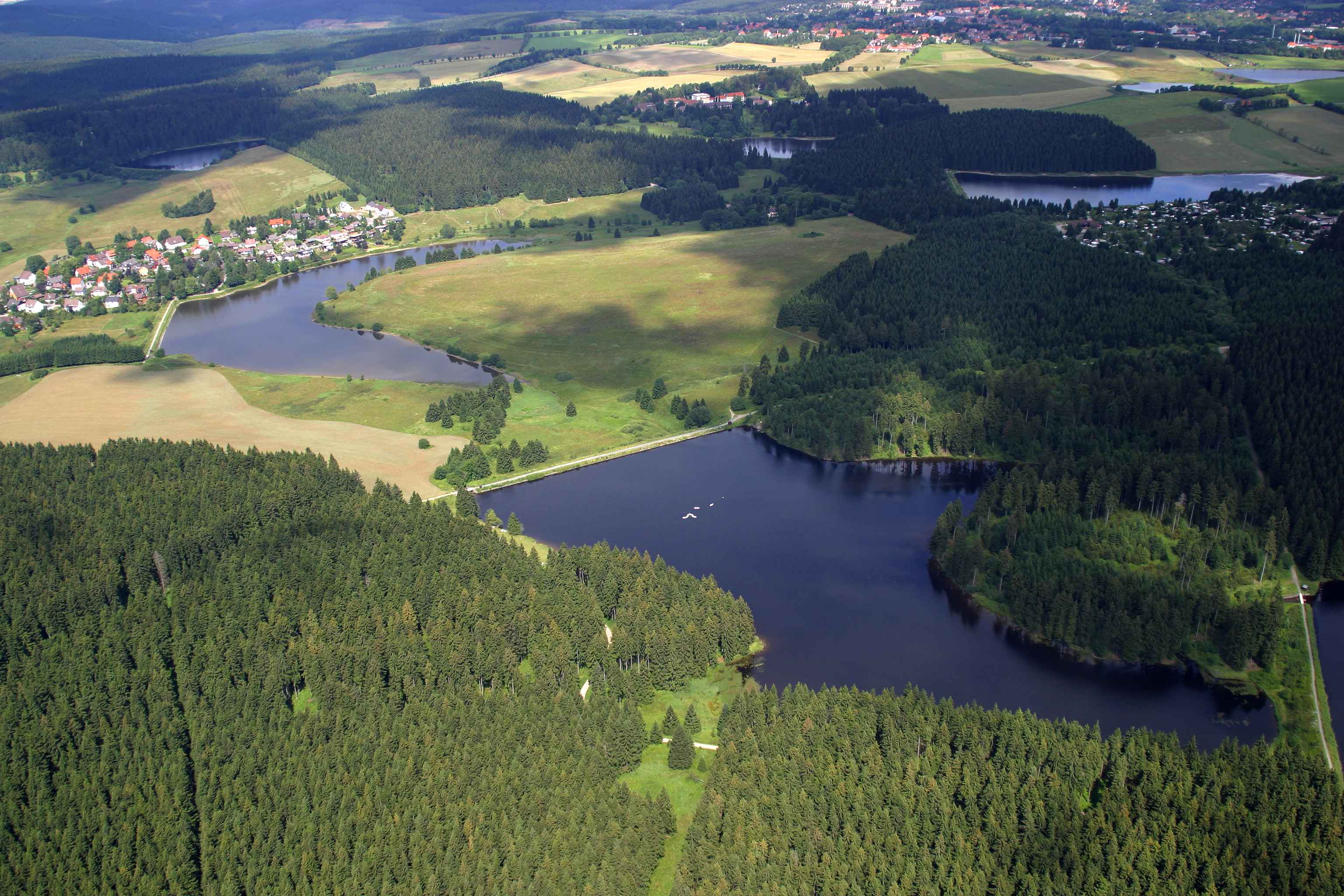
The Upper Harz Water Regale is a complex of dams, reservoirs, ditches and channels spanning roughly 200 square kilometres across the Lower Saxon Harz. Built primarily between the 16th and 19th centuries, the system diverted and stored water to drive the water wheels that powered mining operations throughout the region. Most structures remain in use today, repurposed for landscape conservation, nature protection, tourism and water management.
History
The system emerged from royal grants—termed regale—that permitted miners to harness water resources for ore extraction in the Harz mountains. Construction and expansion stretched across four centuries as mining intensified and techniques advanced. The facilities were formally protected as cultural monuments in 1978. On 31 July 2010, the Regale received UNESCO World Heritage designation alongside the Mines of Rammelsberg and the Historic Town of Goslar, recognition of its critical role in medieval mining innovation and European ore production.
What you see
The system comprises engineered water infrastructure: dams that created reservoirs, an intricate network of ditches directing flow, and mechanisms designed to concentrate water power where mines clustered. The majority of installations are concentrated around Clausthal-Zellerfeld, Hahnenklee, Sankt Andreasberg, Buntenbock, Wildemann, Lautenthal, Schulenberg, Altenau and Torfhaus. Many retain their original character despite centuries of use and modification.
Cultural significance
The Upper Harz Water Regale represents one of the largest and most important historic mining water management systems ever constructed. Its design and operation advanced mining technology across medieval and early modern Europe, enabling extraction at unprecedented scale. The preserved landscape embodies centuries of human engineering adapted to mountain terrain—testimony to medieval ingenuity and the economic forces that shaped the region.
Key facts
- Country: Germany
- Region: Lower Saxon Harz, Upper Harz
- Area covered: approximately 200 square kilometres (77 sq mi)
- Construction period: 16th–19th centuries
- UNESCO World Heritage Site: designated 31 July 2010
- Coordinates: 51.82°N, 10.34°E
- Primary towns and villages: Clausthal-Zellerfeld, Hahnenklee, Sankt Andreasberg, Buntenbock, Wildemann, Lautenthal, Schulenberg, Altenau, Torfhaus
Practical information & getting there
The Regale is distributed across a large area of the Harz region rather than concentrated at a single site. You can access individual reservoirs and sections via the towns and villages listed above. The region is well-connected by regional transport; Goslar is the nearest major town with rail links. Many structures are publicly accessible or viewable from surrounding landscapes. Local tourist offices in the Harz provide detailed maps and guidance for visiting specific dams and reservoirs.
Sources & resources
- Upper Harz Water Regale — Wikipedia
- Cultural Heritage Online
Find it on the map
See this place and what’s around it →📷 Become a Cultural Heritage Online photographer
Share your photos of places: they stay published under your name as the author. The more they're seen, the more you get noticed — and soon a contest will reward the most appreciated photos.
Log in or sign up free to add a photo