Perissa
Perissa's black basalt sand stretches 7 kilometres at the base of Mesa Vouno, the ancient mountain where the Dorian city of Thera was founded in the 9th century BC. The dark sand absorbs the Mediterranean sun; at noon, it burns underfoot.
At a glance
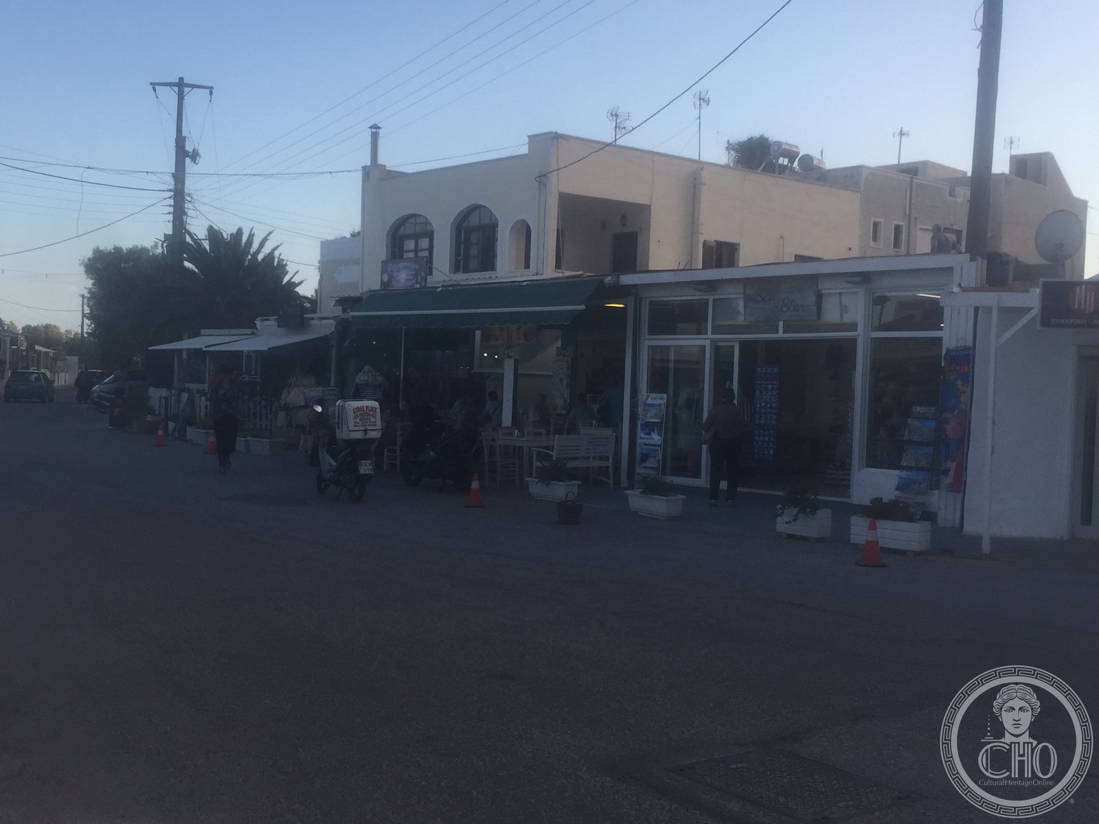
Perissa occupies the eastern coast of Santorini, sheltered from the prevailing winds by the mass of Mesa Vouno rising directly behind the beach. The black sand is composed of basalt fragments, formed when volcanic lava cooled rapidly on contact with seawater. The beach is the longest on the island — 7 km, connecting Perissa village to Perivolos and Agios Georgios to the south. Unlike the caldera side of the island, Perissa faces the open Aegean, giving it stronger swell and a longer swimming season.
Key facts
- Location: Eastern coast, Santorini, at the base of Mesa Vouno
- Coordinates: 36.3569° N, 25.4739° E
- Sand type: Black basalt volcanic sand
- Length: Approximately 7 km (Perissa to Perivolos to Agios Georgios)
- Adjacent mountain: Mesa Vouno (369 m) — site of Ancient Thera above
- Facilities: Full beach services (sun beds, umbrellas, tavernas, water sports)
History
Mesa Vouno, the mountain immediately above Perissa beach, is the site of Ancient Thera, the Dorian city founded by colonists from Sparta under the legendary leader Theras in the 9th century BC. The city occupied the mountain from the Dorian period through Hellenistic and Roman times; its ruins are visible at the 369-metre summit. The beach below was the natural landing point for maritime traffic approaching the ancient city from the east.
Perissa village is a modern settlement with no ancient monument history of its own; its character derives entirely from the beach economy that developed in the 20th century.
What you see
The beach stretches flat and wide, backed by a promenade of bars, restaurants, and water sports hire. Mesa Vouno rises abruptly behind the beach line, its limestone face cutting the horizon. The contrast between the dark sand, blue water, and pale mountain creates the visual signature of Perissa: geological drama without architectural competition.
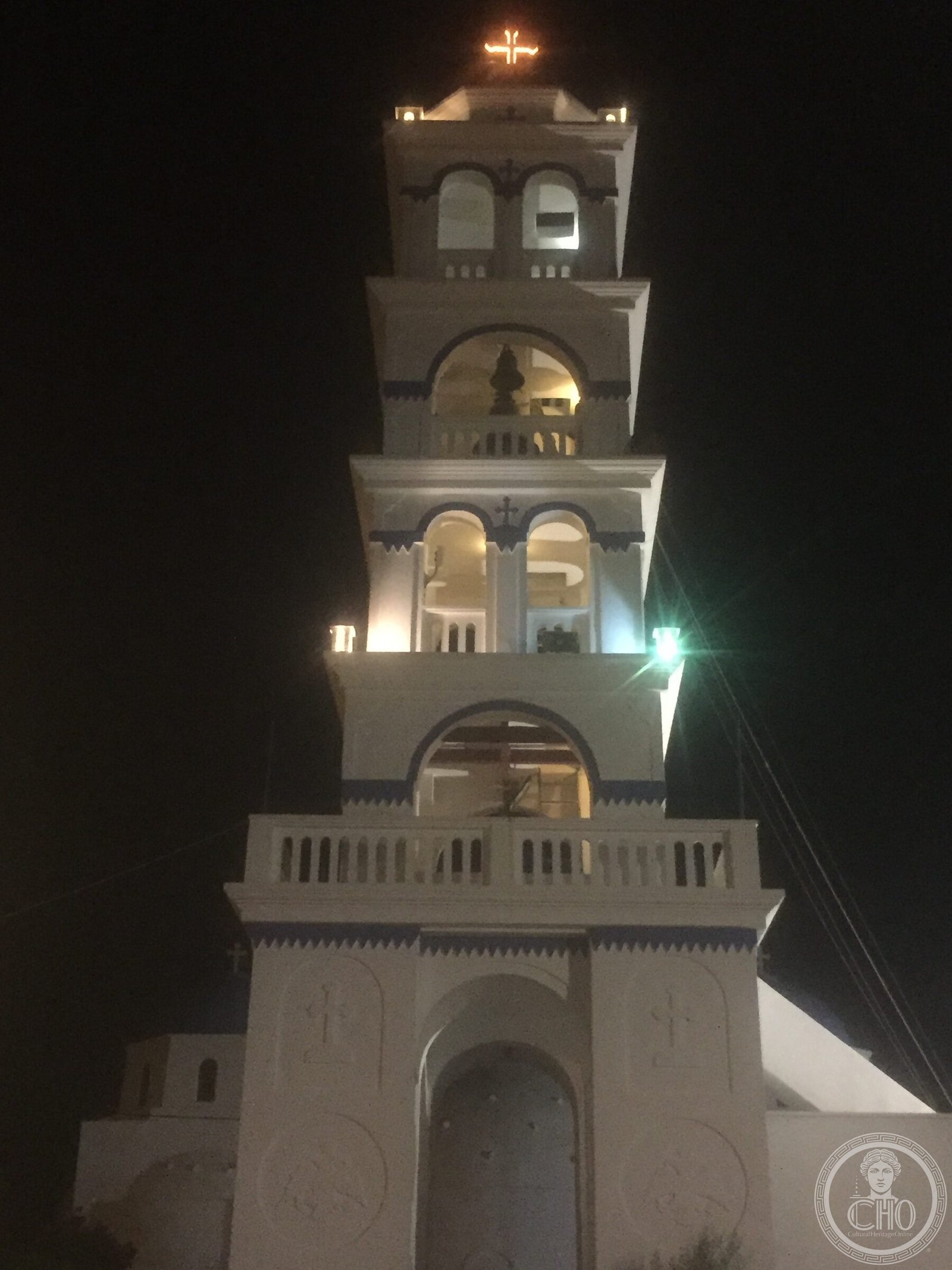
At the north end of the beach, the Byzantine church of Agia Irini marks the boundary of Perissa village. Ancient Thera is accessible by a road climbing from the south end of the beach to the Mesa Vouno summit.
Practical information
- Full beach services: sun loungers, umbrellas, showers, changing rooms
- Beach tavernas and bars along the promenade
- Black sand heats intensely in summer; beach shoes useful
- Ancient Thera accessible from the south end of the beach by road (11 km drive or 2-hour hike)
- Water sports hire available along the promenade
Getting there
Perissa is 13 km from Fira. KTEL bus service runs from Fira Bus Station (~25 minutes). By car or ATV: the road crosses the island interior and descends to the eastern coast. The beach car park is at the northern end of Perissa village.
Nearby
- Ancient Thera (above on Mesa Vouno) — Dorian city founded 9th century BC; ruins at 369 m elevation
- Red Beach (8 km west) — volcanic crimson sand beach near Akrotiri
- Akrotiri (10 km) — Minoan Bronze Age archaeological site
Sources & resources
Gallery
Photographed by Luigi De Marchi.
Find it on the map
See this place and what’s around it →📷 Diventa un fotografo di Cultural Heritage Online
Condividi le tue foto dei luoghi: restano pubblicate con la tua firma come autore. Più vengono viste, più ti fai conoscere — e presto un concorso premierà le foto più apprezzate.
Accedi o registrati gratis per aggiungere una foto