Hortobágy (paesaggio pastorale): la grande pianura dei pastori ungheresi
È la “puszta”: l’immensa pianura erbosa dell’Ungheria orientale, dove per migliaia di anni i pastori hanno condotto mandrie di bovini grigi, cavalli e pecore racka dalle corna a spirale. Un paesaggio modellato dall’allevamento tradizionale, segnato dai pozzi a bilanciere e dal celebre ponte a nove archi.
At a glance
The Hortobágy, in eastern Hungary, is the largest area of the puszta — the great grassy plain of the Carpathian Basin — and an outstanding example of a cultural landscape shaped over more than two thousand years by traditional pastoral life. Across its wide horizons, herders have long tended grey cattle, horses, sheep with spiral horns and water buffalo, using methods and structures — the sweep-wells, the long farmsteads, the Nine-arch bridge — that survive to this day. It was inscribed by UNESCO in 1999.
Key facts
- UNESCO: World Heritage since 1999 (Hortobágy National Park – the Puszta)
- The puszta: the largest semi-natural grassland of the Carpathian Basin
- Pastoral landscape: shaped by traditional herding for over 2,000 years
- Native breeds: grey cattle, Nonius horses and racka sheep
- Sweep-wells: the tall counterweighted wells of the plain
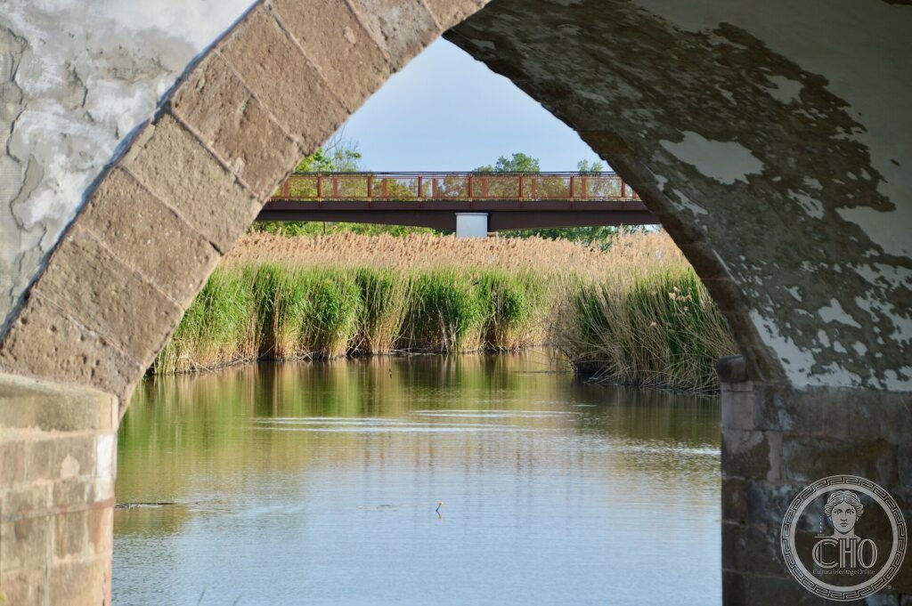
- Nine-arch bridge: the longest stone road-bridge in old Hungary
History
The Hortobágy plain has been grazed since prehistoric times, and over the centuries its way of life crystallised into a distinctive pastoral culture. Herdsmen — the csikós on horseback, the gulyás with the cattle, the juhász with the sheep — moved their animals across the open grassland, living in temporary shelters and drawing water from the tall sweep-wells whose silhouettes mark the horizon.
In the 19th century the great Nine-arch bridge was built to carry the road across the marshy Hortobágy river, and the famous csárda inns served travellers and drovers. Though farming and water management have changed the plain, the traditional landscape, breeds and skills survive, protected as a national park and cultural landscape.
What you see
The plain stretches flat to the horizon, grass and marsh dotted with grazing grey cattle and racka sheep, the tall sweep-wells leaning over their troughs, and herders in traditional dress. The famous Nine-arch stone bridge spans the Hortobágy river beside the old csárda inn, a landmark of the puszta.
Vast skies, shimmering distances and the occasional mirage give the Hortobágy its haunting character.
Practical information
- Park: visitor centre, herding displays and horse shows
- Time needed: a day
- Note: a key site for migrating cranes in autumn
- Setting: in eastern Hungary, near Debrecen
Getting there
The Hortobágy is in eastern Hungary, between Debrecen and the Tisza river, about 40 km west of Debrecen. The village of Hortobágy is reached by road and rail. GPS: 47.583° N, 21.15° E.
Nearby
- Debrecen — the largest city of eastern Hungary
- Tisza river — the river and its lake to the west
- Tokaj — the UNESCO wine region to the north
Sources
- UNESCO World Heritage Centre — “Hortobágy National Park – the Puszta” (ref. 474)
- Hortobágy National Park Directorate — official body
- Encyclopaedia Britannica — Hortobágy; puszta
Find it on the map
See this place and what’s around it →📷 Diventa un fotografo di Cultural Heritage Online
Condividi le tue foto dei luoghi: restano pubblicate con la tua firma come autore. Più vengono viste, più ti fai conoscere — e presto un concorso premierà le foto più apprezzate.
Accedi o registrati gratis per aggiungere una foto