
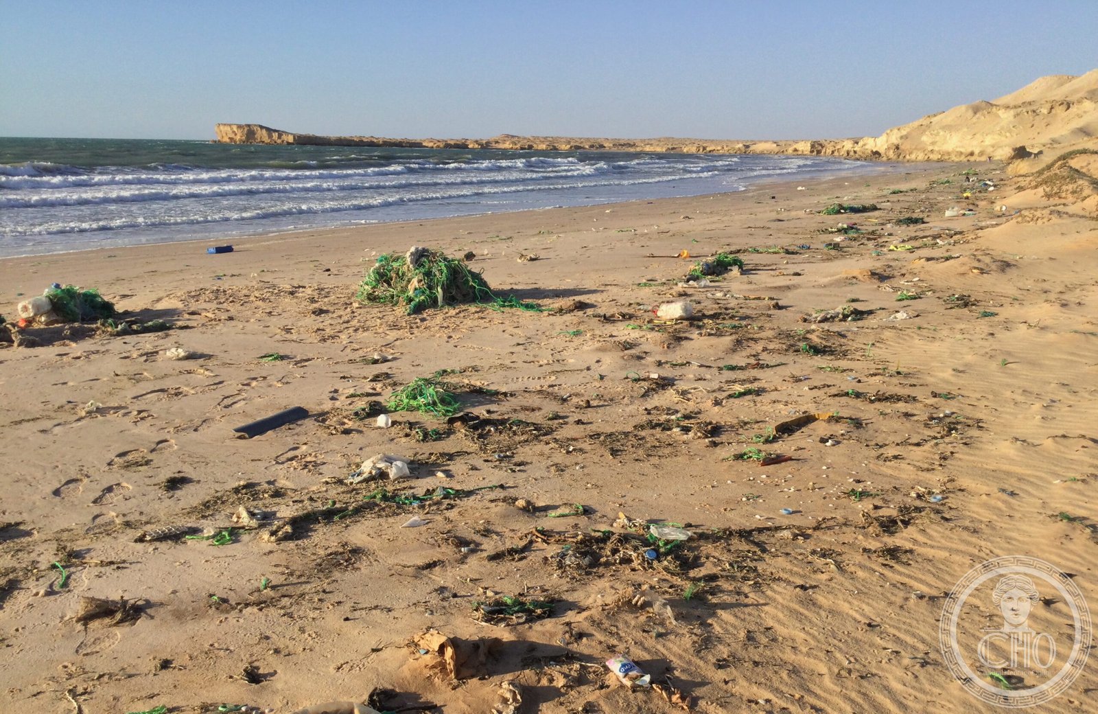
Where the dunes of the western Sahara slide straight into the Atlantic — with no transition, no shoreline, none of what usually separates desert from sea — the Banc d’Arguin is one of the most extraordinary natural spectacles on Earth. 12,000 km² of tidal flats, sandbanks, shallow water and lagoons produce immense quantities of plankton and small fish that feed more than 2 million wading birds every winter, migrating from the Arctic coasts. Nesting here are 40,000 pairs of great tern, 17,000 pairs of pink pelican and 25,000 pairs of cormorant. The Imraguen, the last nomadic fishermen of the Atlantic, catch mullet with nets and the spontaneous help of dolphins. A UNESCO World Heritage site since 1989.
At a glance
Banc d’Arguin National Park covers 12,000 km² (half land, half sea) on the Atlantic coast of northern Mauritania, between Nouakchott (south) and Nouadhibou (north). UNESCO inscribed it in 1989 (ref. 506) for its outstanding universal value as one of the most important areas in the world for breeding seabirds and wintering migratory shorebirds. The park is the meeting point of cold Atlantic upwelling waters (Canary Current) with the nutrient-rich shallow tidal flats, producing extraordinary biological productivity. In winter, it hosts over 2 million waders — the single most important wintering ground in the entire East Atlantic Flyway.
Key facts
- UNESCO: World Heritage since 1989 (Banc d’Arguin National Park, ref. 506)
- Migratory birds: over 2 million shorebirds in winter; bar-tailed godwit, knot, dunlin, sanderling from Siberia and Arctic Europe
- Breeding: 40,000 pairs of greater crested tern; 17,000 pairs of great white pelican; grey herons, pink flamingos, spoonbills
- Imraguen: the park’s indigenous fishing people; use traditional techniques including dolphins to corral fish; entirely dependent on the park’s resources
- Seagrass: enormous tidal flats covered by Zostera noltei (dwarf eelgrass) — the primary food source for brent geese and many waders
- Canary Current: cold upwelling along the Mauritanian coast produces one of Africa’s richest fishing grounds
History
The Imraguen (meaning “those who gather life” in Berber) have lived in the Banc d’Arguin area for hundreds of years, developing a unique fishing culture based on the seasonal movements of mullet through the channels. Their most famous technique involves driving schools of mullet toward the beach by splashing paddles, which attracts Atlantic bottlenose dolphins who help corral the fish from the water side while the fishermen cast their nets from the shore. This human-dolphin cooperation is one of the few documented examples worldwide and may be learned behaviour passed down through generations of both species.
The park was established in 1976 and inscribed as UNESCO World Heritage in 1989. It is managed by the Mauritanian government with support from international conservation organisations. The Imraguen communities remain within the park and their traditional fishing is protected, though motorised boats and large commercial fishing have been limited.
What you see
The visual drama of the Banc d’Arguin is the collision of ecosystems: red and gold Saharan sand dunes meeting steel-grey Atlantic water, with no green in between. At low tide, the flats extend for kilometres, black with roosting waders — a carpet of birds that takes off in synchronised waves at the slightest disturbance, turning the sky momentarily dark. Islands of lesser flamingos stand pink against the sand. Pelicans cruise in formation over the channels.
The Imraguen villages — small clusters of stone and dry-earth houses on the shore — are accessible by 4WD on the beach at low tide or by traditional dugout. Life is extremely simple; the villagers survive almost entirely on dried and salted fish.
Practical information
- Access: 4WD required; the park can be entered from the town of Iwik (south sector) via piste from Nouakchott (6–8 hrs); north sector from Nouadhibou
- Best time: November–March (peak migratory bird concentrations)
- Guided pirogue tours: available in Iwik; essential for the Imraguen village experience and close bird observation
- Accommodation: camp at Iwik; a basic guesthouse at Teichott; bring all food and water
Getting there
Fly to Nouakchott (national and international flights). Hire a 4WD with driver (strongly recommended) for the drive north along the coast piste (300 km, 6 hrs). GPS: 20.24° N, 16.11° W.
Nearby
- Nouakchott — Mauritania’s sprawling capital; the Marché des Artisans and the spectacular daily fish market at Plage des Pêcheurs
- Chinguetti (UNESCO) — the sacred city of the Saharan caravans; 350 km inland; ancient mosque and private libraries of Islamic manuscripts
- Atar — gateway to the Adrar plateau; rock art, ancient caravanserais, oasis gardens
Sources
- UNESCO World Heritage Centre — “Banc d’Arguin National Park” (ref. 506)
- BirdLife International — Banc d’Arguin IBA
- Encyclopaedia Britannica — Mauritania; Canary Current
Find it on the map
See this place and what’s around it →📷 Become a Cultural Heritage Online photographer
Share your photos of places: they stay published under your name as the author. The more they're seen, the more you get noticed — and soon a contest will reward the most appreciated photos.
Log in or sign up free to add a photo