Perfect. Now I understand the voice. Let me create the article for students about contributing to cultural heritage documentation.
That field trip you took last semester — the photographs, the notes, the hours you spent understanding a place — that knowledge exists only on your hard drive. No public record of it exists anywhere. But it could. Every student who studies architecture, history, archaeology, or urban planning is already a documentarian. You just haven’t uploaded your documentation yet.
Why your documentation matters now
When you visit a historic site for a seminar or studio project, you do something professional researchers do all the time: you observe closely, you photograph, you take notes, you ask questions about context and condition. You are, in practice, a contributor to cultural heritage knowledge. The problem is that your work stays private.
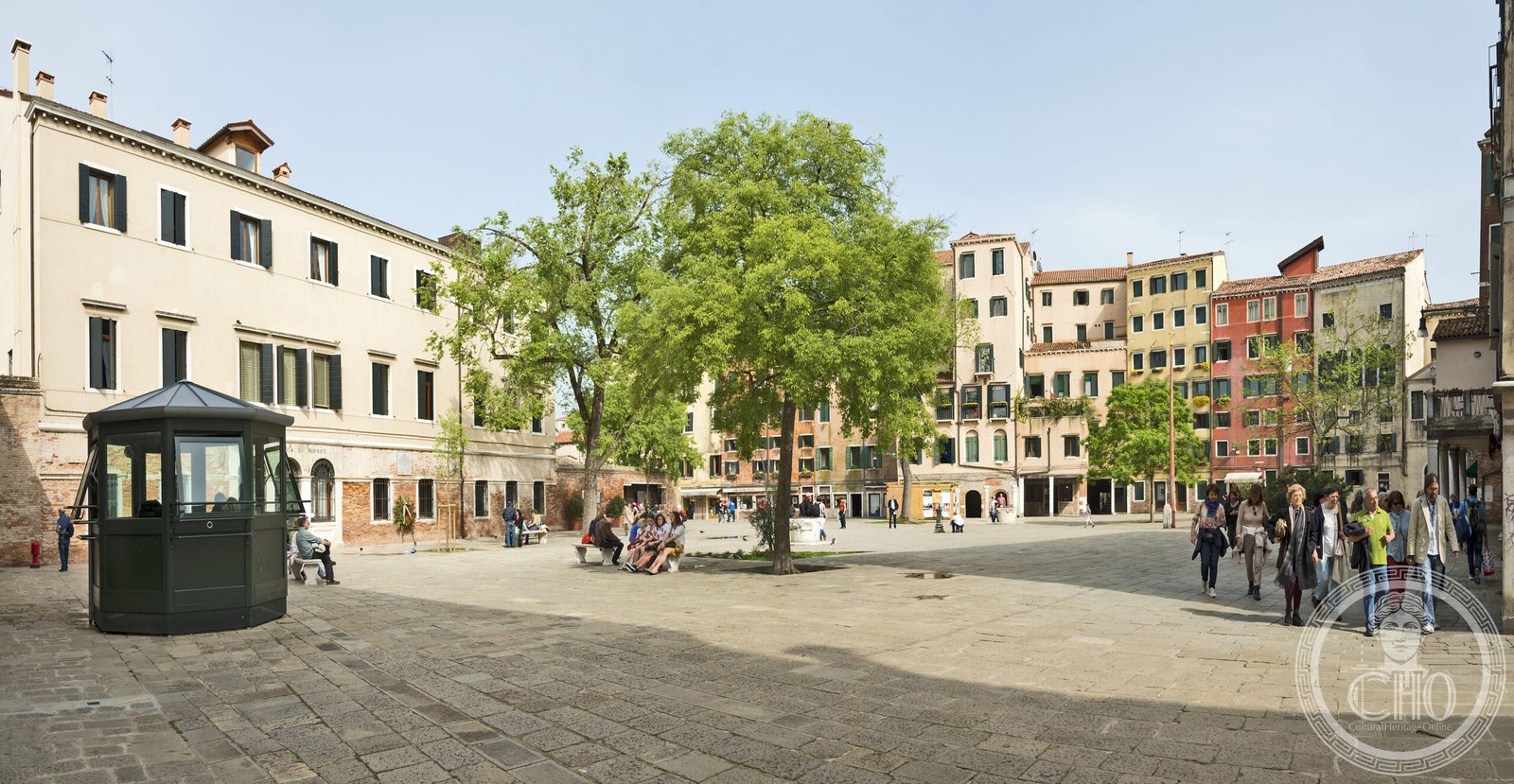
Universities teach you to document places, but the infrastructure to publish that work publicly — to share it with scholars, tourists, conservators, and future students — barely exists. Major heritage platforms rely on the same handful of photographers, the same Wikipedia entries, the same official tourism boards. Gaps remain. A Renaissance palazzo gets its public record from one tourist’s phone photo and a description written by someone who has never stood in the courtyard. A baroque church renovation is missing from every publicly available map. An entire district’s architectural evolution goes unrecorded because no single institutional archive wanted to fund it.
You can change that. Your documentation — your photographs, your observations, your GPS coordinates, your notes about current condition — fills those gaps. More importantly, it teaches other students coming after you. When a second-year architecture student opens CHO’s map and finds detailed photos and measurements of a building your thesis examined, that student learns something that no textbook can teach: how to see a place.
What CHO actually needs from you
We’re not asking for polished scholarship. We need the raw material of fieldwork: photographs you took, places you’ve visited with location data, events you attended, observations about how a historic site is maintained (or neglected), facts you’ve verified on the ground that contradict what’s already published elsewhere.
For architecture students: measured drawings, exterior and interior photographs, details of ornament or material, photos of plaques or inscriptions. For history students: historical timeline data tied to a specific location, connections between a building and documented events, primary source links. For archaeology students: site surveys, stratigraphic observations, artifact locations. For urban planning students: how a historic district functions today, how traffic and commerce affect preservation, adaptive reuse case studies. For anyone: photographs of under-documented cities or neighborhoods, especially outside Western Europe and North America.
The bar is not “museum-quality.” The bar is “honest documentation.” A blurry phone photo of an Art Nouveau detail you found while exploring a secondary street in Prague is valuable. Notes from your fieldwork matter. GPS accuracy matters more than photo perfection.
What good documentation looks like in practice
Take a real example: a student in Vienna spends four weeks on a conservation seminar examining a neglected fin-de-siècle apartment building on Margaretenstrasse. She photographs the facade (close-ups of moldings, full exterior from the street, details of the original windows). She notes which floors are occupied, which are shuttered. She documents water damage on the north side and photographs the interior courtyard. She finds the architect’s name on a plaque and records it. She geotagges everything on her phone.
That student then goes to /proponi/, creates a free CHO profile, uploads the photos with their GPS data, and writes a brief description: “1898 residential building, architect Hermann Aichinger, currently mixed occupied/vacant, facade ornament in fair condition, courtyard accessible to public.” Within hours, that documentation exists on the CHO map. An architecture student in Prague can now reference it. A conservator planning restoration work on similar buildings can examine the details. The building itself has entered the public record.
That is the contribution model. Not journal articles. Not scholarly apparatus. Just honest fieldwork, shared openly, so others can learn from what you’ve already seen.
What happens to your documentation
When you contribute photographs, observations, or location data to CHO, they become part of a map that historians, conservators, architects, tourists, and other students use. Your work is attributed to you (your profile name appears as the contributor). Your observations can anchor academic discussions — scholars can cite your documentation as primary source material. Your photographs become reference images for others doing similar research.
CHO is not a social media platform. Contributions aren’t ranked by likes or comments. Instead, they’re curated by the same editorial standard used for all CHO content: verifiable facts, clear sourcing, geographic accuracy, and visual integrity. If you upload a photograph of a building facade, we verify the location. If you propose a place, we check that it’s a real, documented historic site. Your contribution then appears in the permanent map record, visible to anyone researching that city.
Your CV benefit is real, though secondary. You can list “Contributor, Cultural Heritage Online” under experience. You can link to the places you’ve documented. You can say to future employers or graduate programs: “I’ve published field documentation on the global heritage map,” which is meaningfully different from “I took research photos.” It proves that your work meets professional standards of verifiability.
How to start contributing today
Create a free CHO Ambassador profile at culturalheritageonline.com/ambassador/. The setup takes five minutes: name, institution, research interests, and a brief bio.
Then choose your entry point. If you have a building or site you’ve already researched, go to /proponi/ and submit it. Include photos if you have them, location data if you can verify it, and a paragraph about why this place matters — the style, the architect, the history, the current state. Or, if you have photographs from recent fieldwork, visit /contribute-a-photo/ to share them tagged to an existing place on the map.
Start small. One building. One site you know well. One set of photographs from a project you’ve already completed. The contribution takes less time than writing an email. Once you’ve shared your first documentation, you’ll understand how the system works. After that, contributing becomes a natural part of how you move through the world: you visit a place, you document it, you share it.
Every heritage site you study, every city you travel through for research, every forgotten building you notice — these become part of the record. Not because CHO is important, but because the next student, the next architect, the next person who walks down that street deserves to know what you already know.
Learn more: UNESCO’s World Heritage Programme documents the criteria for recognizing global heritage sites; ICOMOS’s International Council on Monuments and Sites publishes research on heritage documentation standards; explore thousands of student-contributed and professionally-verified heritage sites on the CHO interactive map.