Perfect. Now I have a clear understanding of the voice, structure, and HTML format. Let me create the community engagement article for researchers. I’ll generate the complete HTML content now:
You have spent months—perhaps years—studying a site. You know its stratigraphy, its building phases, the conflicting interpretations in the literature. Almost none of that knowledge is publicly accessible. The maps online are old. The photographs are sparse or missing. The history gets compressed into a tourism blurb, or worse, not mentioned at all. Your work matters, but only to the handful of people reading the same journals you do.
Why researchers are the missing link in heritage documentation
Academic researchers and archaeologists are the only people who truly know many heritage sites. You have excavation records, measured drawings, carbon dates, pottery typologies, and decades of cumulative understanding that museums and tourism boards simply do not capture. When you publish, you publish in journals with paywalls and small readerships. The general public—the people who might visit, donate to conservation efforts, or advocate for protection—never see your work. The site continues to appear online as a static photograph with generic description.
This gap is not accidental. Heritage sites are documented by tourism operators (who prioritize photographs and practical information), by Wikipedia volunteers (who synthesize published sources but rarely access original research), and occasionally by museums (who focus on their own collections). Fieldworkers like you almost never have a mechanism to share what you know directly with the world. Yet you are the primary authority on your site. Your contribution would be the most credible document online.
What CHO actually needs from you—and how to contribute it
CHO is building an open map of cultural heritage sites designed by researchers for researchers, with public accessibility as a secondary benefit. We need three kinds of contributions from the academic community: verified photographs of sites (your own fieldwork photos, with location data), detailed place descriptions (500–800 words, the scale at which you actually understand a site), and event listings when your institution runs field schools, symposia, or public lectures at heritage locations.
A photograph contribution takes five minutes: upload a site photo you took, tag it with a location, and add one sentence of context. A place description takes two hours—you write as if explaining the site to a graduate student who will visit it next summer, mentioning the building sequence, key references, open questions, and the GPS coordinates of different zones. An event listing takes ten minutes: you add the date, location, and a link to your institution’s registration page. No special format. No CMS tutorial. You do this through the /proponi/ form on our site, which walks you through each step.
What a good researcher contribution looks like in practice
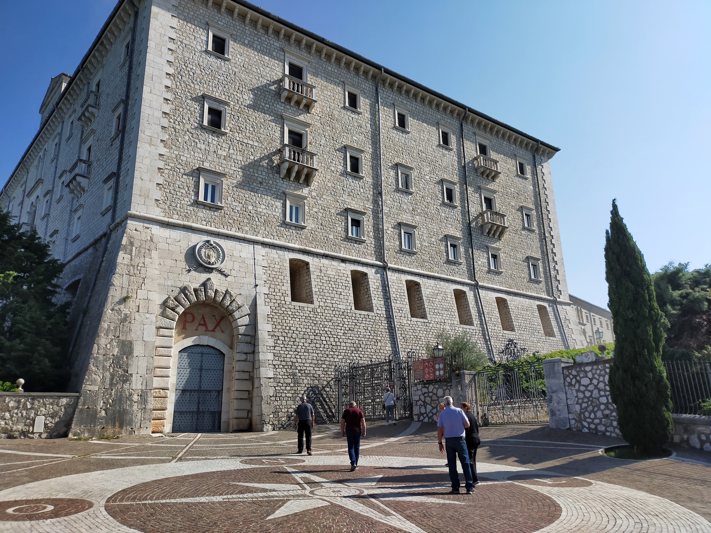
Imagine you have spent three years studying an Early Medieval bishop’s residence in Southern France. You have excavation photos from 2020–2023, stratigraphic drawings, coins and ceramics, and three publications in peer-reviewed journals. On CHO, you would create a place entry for the site—title, location, and a 600-word description covering: the literary sources (Gregorian letters, saints’ lives), the physical evidence (what you excavated and what remains visible), the building phases and their dates, interpretive debates in the literature, and a note on access (is it private land? Can the public visit?). You upload three of your own photographs showing the excavation area, the rebuilt foundations, and a detail of the ceramic assemblage. You add the excavation grid coordinates and a link to your department’s project page. That entry then appears on the CHO map under your name and institution, clickable from a geography search, searchable by keyword, and permanently citable by other researchers and the public alike.
What happens to your contribution—and who finds it
Contributions appear on the CHO map within two business days of submission, visible globally and indexed by search engines. Your name appears as author; your institution is tagged; the site is geocoded and searchable. Researchers can find your work directly through Google. Students can cite it in dissertations. Tourism boards use verified descriptions to train local guides. Journalists researching heritage stories contact you because they found your site description on CHO. Conservation organizations use the maps to identify overlooked sites. Over time, contributions accumulate into a reference layer that nobody else maintains—not Wikipedia, not OpenStreetMap, not tourism sites.
CHO also connects your contribution to related research: Wikipedia articles on the same place, museum collections, published fieldwork by other scholars, and upcoming conferences and field schools. If you have worked on the same site as another researcher who contributes to CHO, your entries link automatically. If you write about a Byzantine church, your entry sits on the same map as fifty other Byzantine churches, now visible as a distribution pattern instead of isolated points. This is the public research infrastructure that universities talk about but rarely build.
How to start—your first contribution in five minutes
Go to /proponi/ and click “Contribute a place” or “Upload a photo.” The form asks for: place name, location (address or coordinates), a category (archaeological site, historic building, landscape, etc.), and either a description or a photograph. Write in your own language or in English. If you have a photograph, a single sentence of caption is enough to start; the place description can come later, or be crowdsourced to other researchers who have worked on the site. If you have a description, paste it from your notes—no formatting required. Include a link to a relevant publication or your institution’s project page. Submit. Your contribution goes into our editorial queue for a quick fact-check (we verify against Wikipedia, published sources, and available field reports), and appears on the map within forty-eight hours.
If you have worked on ten sites, contribute ten entries. If you are part of a large excavation project, encourage your team to each add one site or one building phase. If you are teaching a field school, make it a capstone assignment: have students each contribute the site they studied most closely. CHO handles the coordination; you provide the authority.
Sources
- ICOMOS Publications and Heritage Impact Assessments — guidance on documentation standards for heritage sites.
- Open Source Geospatial Foundation — open standards for heritage geospatial data and mapping infrastructure.
- CHO Interactive Heritage Map — browse and search all verified heritage sites documented by researchers worldwide.