Val d’Orcia in Tuscany
Val d’Orcia, also written Valdorcia, is a sweeping valley landscape in southern Tuscany stretching from the hills south of Siena to Monte Amiata, encompassing the provinces of Siena and Grosseto. Inscribed as a UNESCO World Heritage Site in 2004, the valley’s softly rolling clay hills, medieval hilltowns, and cypress-lined roads have been a defining image of the Italian countryside since Renaissance painters first committed them to panel. Towns such as Pienza, Montalcino, San Quirico d’Orcia, and Radicofani punctuate a landscape shaped as much by centuries of careful farming as by geology.
At a glance
- Type
- Protected cultural landscape / UNESCO World Heritage Site
- Period
- Landscape shaped from the medieval period onwards; UNESCO inscription 2004
- Style
- Renaissance-ideal agrarian landscape; Sienese architectural heritage
- Location
- Province of Siena and Province of Grosseto, Tuscany, Central Italy
- Coordinates
- 43.0553° N, 11.6966° E
Overview
Val d’Orcia extends from the southern rim of the Sienese hills to the volcanic massif of Monte Amiata, a distance of roughly 50 kilometres. The valley’s characteristic pale clay terrain, known locally as crete senesi, produces a rolling topography of extraordinary visual drama — bare ridges alternating with pockets of cultivation, wheat fields, and rows of cypress trees planted as windbreaks and property markers. This landscape entered the visual canon of Western art during the Renaissance, when Sienese painters used it as the setting for devotional scenes and portraits, giving the valley an almost mythological cultural weight that endures today.
History
The valley’s strategic position on the Via Francigena — the pilgrim road connecting Canterbury to Rome — made it a contested territory throughout the medieval period, with the Republic of Siena gradually consolidating control over its scattered communes and fortified villages. The most deliberate act of cultural shaping came in 1459 when Pope Pius II, born Enea Silvio Piccolomini in the village of Corsignano, commissioned the architect Bernardo Rossellino to rebuild his birthplace as Pienza, a model Renaissance city whose cathedral and piazza embody Humanist urban ideals. After the fall of Siena to Florence in 1555, the valley entered a long period of relative isolation that paradoxically preserved its medieval and Renaissance built fabric intact into the twentieth century.
UNESCO’s 2004 inscription recognised the valley not as a single monument but as a managed cultural landscape, acknowledging the ongoing role of agriculture — particularly viticulture producing Brunello di Montalcino and Orcia DOC wines — in maintaining the scenery that gives the site its outstanding universal value.
What you see
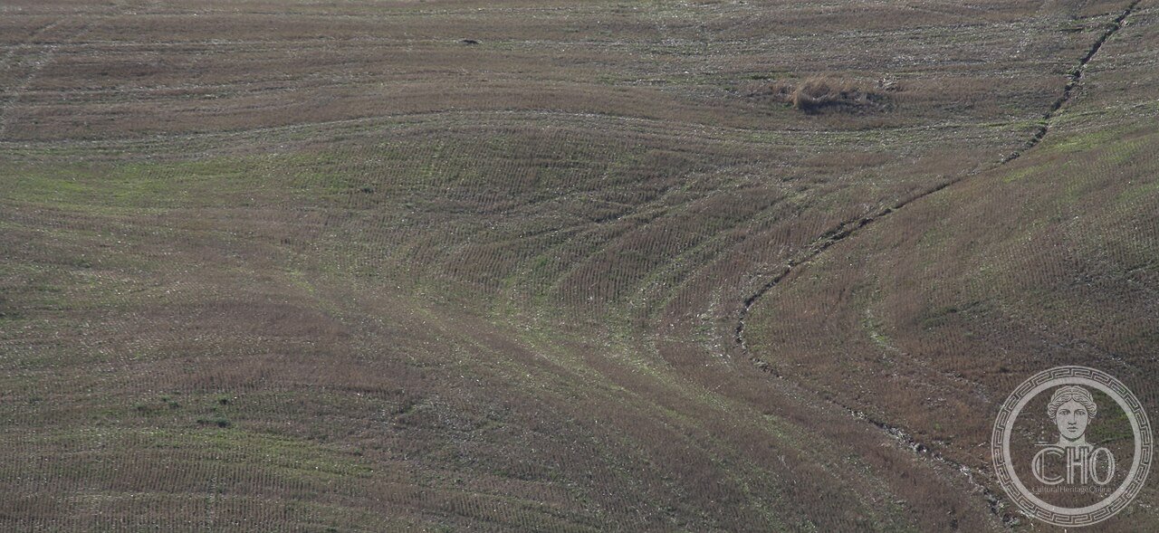
The defining visual elements of Val d’Orcia are its bare clay ridges, punctuated by isolated farmhouses (poderi), circular threshing floors, and avenues of Tuscan cypress rising on skylines. Hilltop settlements such as Montalcino and Radicofani retain their medieval towers and walls above terraced vineyards, while Pienza presents its perfectly preserved Renaissance piazza. The Orcia river and its tributaries cut through the clay in meandering channels, their eroded banks creating the distinctive lunar badlands called biancane. Spring brings vivid wheat-green and poppy-red colours to the hillsides; summer shifts the palette to warm ochre and gold.
Cultural significance
Val d’Orcia holds an unusually double cultural status: it is simultaneously a living agricultural territory and an artwork in its own right, repeatedly depicted in Sienese Renaissance panels, twentieth-century photography, and contemporary film. UNESCO’s inscription specifically credits the valley as a landscape that reflects “Renaissance ideals of good government” — an aesthetic of ordered, productive, beautiful land management — making it one of the few cultural landscapes recognised for the interaction between human intention and natural terrain over several centuries.
Practical information
- Main access towns
- Pienza, Montalcino, San Quirico d’Orcia, Radicofani, Castiglione d’Orcia
- Visitor centres
- Check the Parco Artistico Naturale e Culturale della Val d’Orcia official website for current facilities
- Best seasons
- April–June for green hills and wildflowers; September–October for harvest and autumn light
- Admission
- Landscape is open; individual sites and museums apply their own charges
Getting there
Val d’Orcia is most easily explored by car. From Siena, take the SR2 (Via Cassia) southward through San Quirico d’Orcia, branching as needed for Montalcino (SR146) or Pienza (SP18). The nearest railway station with regular Trenitalia connections is Chiusi-Chianciano Terme, approximately 30 km south of Pienza, with onward connections by regional bus (Tiemme) to several valley towns. Florence is approximately 1 hour 30 minutes by road.
Sources & resources
Find it on the map
See this place and what’s around it →📷 Diventa un fotografo di Cultural Heritage Online
Condividi le tue foto dei luoghi: restano pubblicate con la tua firma come autore. Più vengono viste, più ti fai conoscere — e presto un concorso premierà le foto più apprezzate.
Accedi o registrati gratis per aggiungere una foto