
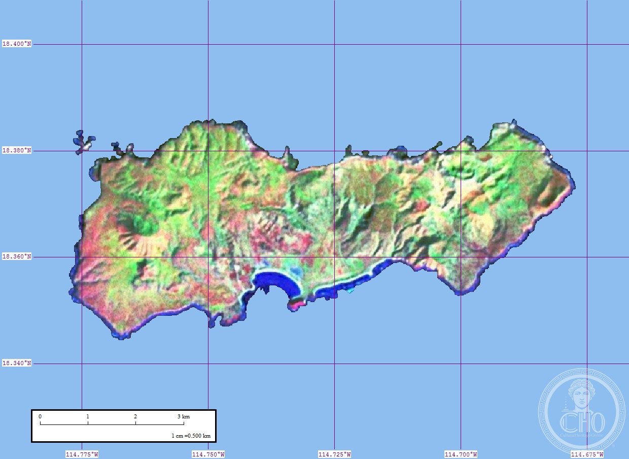
Clarion Island
The westernmost and most remote of Mexico’s Revillagigedo Islands, this volcanic outpost rises from the Pacific nearly 700 kilometres from the mainland, accessible only by sea.
At a glance
Clarion Island is the second largest of the Revillagigedo Islands, a marine protected area. Covering 19.80 square kilometres, it lies 385 kilometres west of Socorro Island and approximately 700 kilometres from mainland Mexico. The journey by sea from Mexico takes 30 hours.
History
The island was formerly known as Santa Rosa. Today it maintains a small military garrison stationed near Bahía Azufre on the southern coast, where a contingent of 9 soldiers is based.
What you see
Three volcanic peaks dominate the island’s landscape. Monte Gallegos, the westernmost and tallest, reaches 335 metres. The central peak, Monte de la Marina, stands at 280 metres, while the eastern peak, Pico de la Tienda, rises to 292 metres. The coastline features dramatic perpendicular cliffs ranging from 24 to 183 metres in height, except along the middle southern coast near Bahía Azufre, which offers the only accessible landing area.
Cultural significance
As part of the Revillagigedo Islands marine protected area, Clarion Island plays an important role in ocean conservation. Its extreme isolation and harsh conditions make it a significant site for scientific study and marine ecosystem protection.
Key facts
- Country: Mexico
- Part of the Revillagigedo Islands marine protected area
- Area: 19.80 square kilometres (7.64 square miles)
- Distance from mainland Mexico: approximately 700 kilometres
- Coordinates: 18.36°N, 114.73°W
- Freshwater sources limited to two small brackish pools, which may dry seasonally
Practical information & getting there
Clarion Island is accessible only by sea, requiring a 30-hour journey from Mexico. The island’s remote location, limited freshwater supplies, and military presence mean visits are restricted. Advance permission and arrangements are essential for any travel to the island.
Sources & resources
Find it on the map
See this place and what’s around it →📷 Diventa un fotografo di Cultural Heritage Online
Condividi le tue foto dei luoghi: restano pubblicate con la tua firma come autore. Più vengono viste, più ti fai conoscere — e presto un concorso premierà le foto più apprezzate.
Accedi o registrati gratis per aggiungere una foto