
Border Ranges National Park
A 31,729-hectare subtropical sanctuary straddling the New South Wales–Queensland border, protecting ancient rainforest on the Shield Volcano Group and recognized as part of the Gondwana Rainforests World Heritage Site.
At a glance
Border Ranges National Park preserves one of Australia’s most significant rainforest ecosystems. Located in the Northern Rivers region, roughly 150 kilometres south of Brisbane and north of Kyogle, the park straddles two states and encompasses diverse subtropical vegetation on volcanic terrain.
History
The park was formally recognized as part of the Shield Volcano Group World Heritage Site Gondwana Rainforests of Australia, inscribed by UNESCO in 1986. It was added to the Australian National Heritage List in 2007, cementing its status as a site of outstanding natural and cultural importance.
What you see
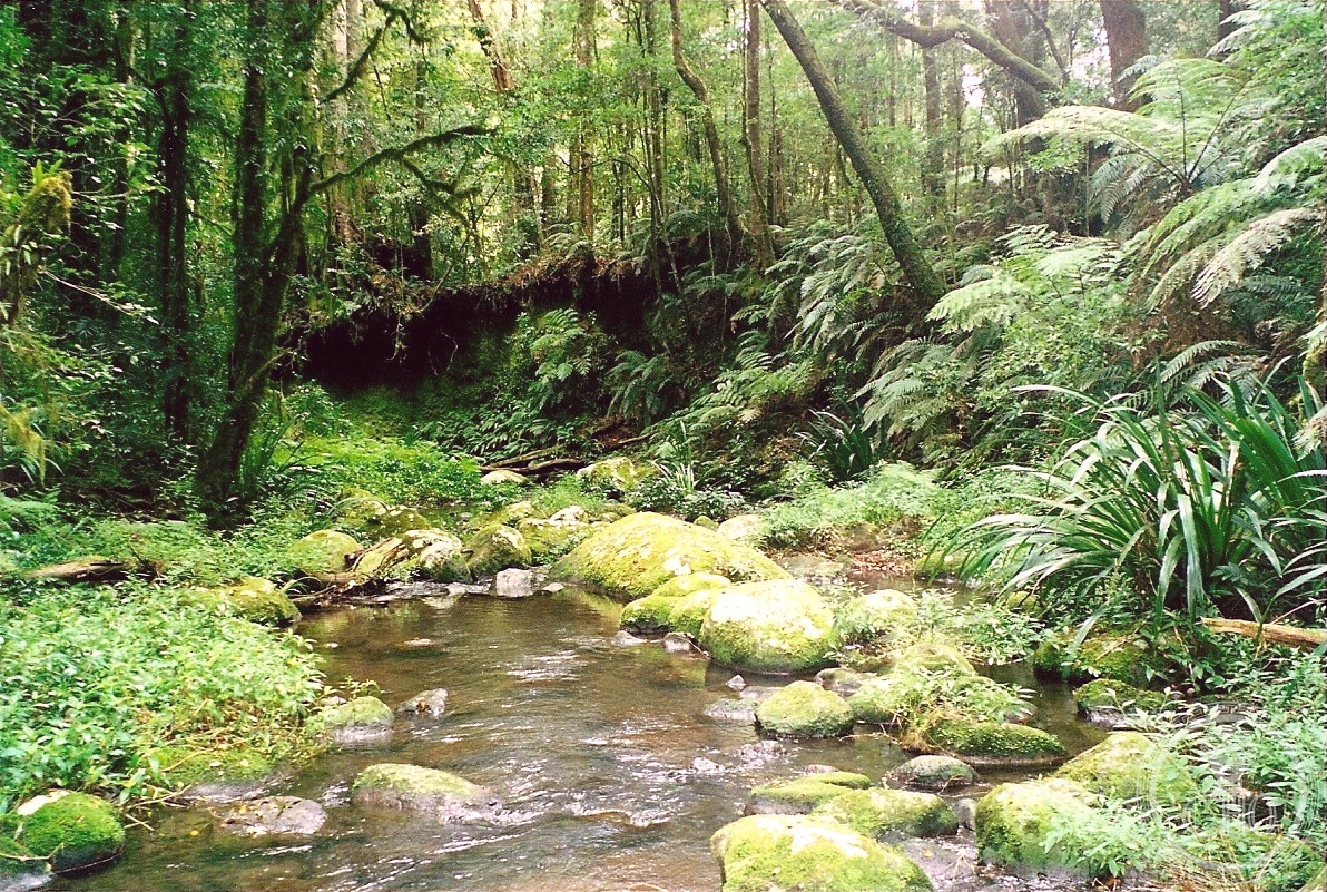
The landscape reflects its volcanic origins. Ancient rainforest dominates the terrain, with subtropical flora adapted to the region’s altitude and climate. The park’s composition as part of the broader Gondwana Rainforests means visitors encounter flora and fauna indicative of Australia’s deep geological history.
Cultural significance
Border Ranges holds exceptional scientific value as a remnant of the ancient Gondwanan rainforests that once covered much of the Southern Hemisphere. Its World Heritage designation reflects the irreplaceable ecological and evolutionary record it preserves. The park protects species found nowhere else and represents a living archive of Australia’s prehistoric environment.
Key facts
- Location: Northern Rivers, New South Wales, with a portion extending into South East Queensland
- Area: 31,729 hectares (78,400 acres)
- Distance from Brisbane: approximately 150 kilometres south
- UNESCO World Heritage Site: Gondwana Rainforests of Australia (inscribed 1986)
- Australian National Heritage List: added 2007
- Coordinates: −28.36°S, 152.99°E
Practical information & getting there
The park is accessible from Kyogle and the surrounding Northern Rivers area. For current visiting hours, facilities, entry requirements and detailed directions, consult the official NSW National Parks website or contact the local park management office before your visit.
Sources & resources
Find it on the map
See this place and what’s around it →📷 Diventa un fotografo di Cultural Heritage Online
Condividi le tue foto dei luoghi: restano pubblicate con la tua firma come autore. Più vengono viste, più ti fai conoscere — e presto un concorso premierà le foto più apprezzate.
Accedi o registrati gratis per aggiungere una foto