
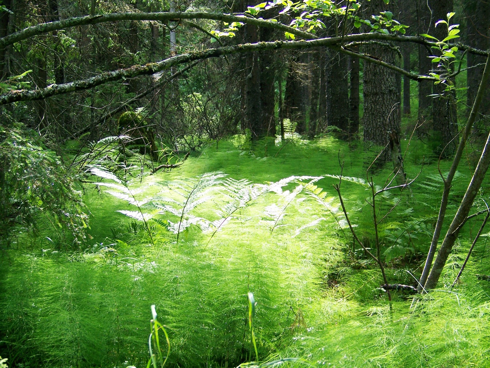
A rugged coastal forest reserve in northern Sweden where granite peaks rise directly from the Baltic Sea and the land itself continues to rise, freed from the weight of ancient ice.
At a glance
Skuleskogen protects 30.62 km² of the High Coast, a UNESCO World Heritage region defined by dramatic rocky terrain and the ongoing phenomenon of post-glacial rebound. The park’s highest point, Slåttdalsberget, reaches 280 metres and drops steeply to the sea.
History
Bronze Age funerary cairns scattered along the ancient shoreline suggest sparse human presence in prehistory. From the Middle Ages onward, the forest served primarily as pasture. Intensive logging in the mid-19th century transformed the landscape but ceased by century’s end, allowing the forest to recover. Today, trees exceeding 100 years dominate the canopy. The park was formally established in 1984 and designated a UNESCO World Heritage site as part of the High Coast in 2000.
What you see
The park’s defining feature is its extreme topography—granite peaks, deep crevasses, and caves carved by ancient glacial forces. Slåttdalskrevan, a spectacular 40-metre-deep crevasse, is the principal draw and remains easily accessible via well-maintained trails. The Höga Kustenleden hiking route traverses the entire High Coast through the park.
Cultural significance
Skuleskogen embodies two interconnected narratives: human adaptation to a harsh landscape, evident in Bronze Age monuments, and the dynamic Earth itself. The High Coast is celebrated worldwide as a textbook example of post-glacial rebound—the land rises roughly 8 millimetres annually, visibly reshaping the coast year by year. This geological drama, combined with recovering old-growth forest rich with endangered species including the lichen Usnea longissima, underpins the region’s UNESCO recognition.
Key facts
- Country: Sweden
- County: Västernorrland
- Area: 30.62 km²
- Established: 1984
- Highest peak: Slåttdalsberget (280 m)
- Annual visitors: approximately 20,000
- UNESCO World Heritage status: High Coast (inscribed 2000)
- Coordinates: 63.12°N, 18.50°E
Practical information & getting there
The park is located on the Baltic coast in northern Sweden’s Västernorrland County. Slåttdalskrevan and the wider High Coast are accessed via hiking trails, including the established Höga Kustenleden route. The park welcomes approximately 20,000 visitors annually and remains accessible despite its distance from major population centres.
Sources & resources
Find it on the map
See this place and what’s around it →
📷 Become a Cultural Heritage Online photographer
Share your photos of places: they stay published under your name as the author. The more they're seen, the more you get noticed — and soon a contest will reward the most appreciated photos.
Log in or sign up free to add a photo