Matobo Hills
Two billion years of erosion have sculpted the ancient Proterozoic granite of southern Zimbabwe into a labyrinth of stacked boulders and whale-back ridges — a sacred landscape holding one of the world’s densest concentrations of rock art and an unbroken tradition of rain-making ritual.
At a glance
The Matobo Hills (also spelled Matopos) cover approximately 3,100 km² of Matabeleland South Province in south-western Zimbabwe. The landscape is geological sculpture at a grand scale: ancient Proterozoic granite, 2,500 million years old, has been differentially weathered into fantastical formations of rounded boulders, narrow gorges, natural caves and shelters, and great whale-back ridges that rise above the surrounding savannah. Within and between these formations lies one of the most significant concentrations of rock art in the world — over 3,000 painted sites, some with images made more than 13,000 years ago. UNESCO inscribed Matobo as a World Heritage Site in 2003, recognising both its outstanding universal cultural and natural values.
Key facts
- UNESCO inscription: 2003 (Mixed Cultural and Natural)
- Location: Matabeleland South Province, south-western Zimbabwe, approximately 35 km south of Bulawayo
- Area: approx. 3,100 km²
- Geology: Proterozoic granite (approx. 2,500 million years old)
- Rock art: 3,000+ painted sites; 13,000+ years of continuous production
- Key sites: Nswatugi Cave (paintings), White Rhino Shelter, Inanke Cave, World’s View summit
- Living sacred tradition: Mwali oracle cult (rain-making) — continuously active for at least 700 years
- Notable burials: Cecil Rhodes (colonialist) and Mzilikazi (Ndebele nation founder) both buried within the hills
- Wildlife: White and black rhino (reintroduced), leopard, sable antelope, vervet monkeys, raptors
History and sacred significance
The human history of the Matobo Hills spans at least 100,000 years. The San (Bushman) hunter-gatherers who created the rock art are considered among the original inhabitants of southern Africa; their paintings — executed in red, white, and black ochre — document their world with extraordinary detail, depicting animals, hunts, trances, and spirit figures over more than 130 centuries of continuous artistic production.
The Mwali oracle cult — a rain-making religious institution of the Kalanga people — has been centred on specific sacred caves and hills in the Matobo region for at least 700 years, possibly much longer. The cult involves oracular pronouncements delivered from sacred caves, and its authority extends across Zimbabwe and parts of Botswana. It continues to function today; the sacred sites are active places of pilgrimage and petition.
The hills also carry the contested traces of colonialism. Cecil Rhodes, who carved out the state of Rhodesia from the region and whose British South Africa Company violently dispossessed the Ndebele and Shona peoples, directed that he be buried at the summit of “World’s View” in the Matobo Hills — a site he admired for its panoramic grandeur. Mzilikazi, the Zulu general who founded the Ndebele nation in the 19th century after leading his people north from South Africa, is also buried in the hills. The landscape thus contains the graves of both a colonial conqueror and the African king whose people he subjugated.
What you see
Nswatugi Cave is the most accessible of the major painted sites: its overhang shelters multi-layered San paintings of exceptional quality, depicting giraffe, kudu, elephants, eland, and human figures in chase and trance poses. The paintings overlap across centuries of use, creating a palimpsest of spiritual and practical imagery that researchers continue to decode.
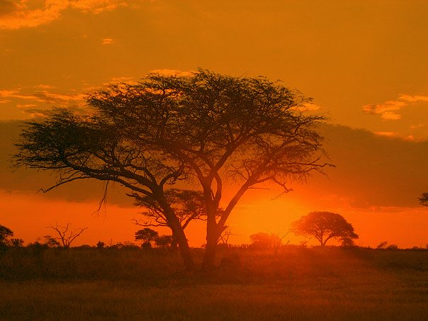
The geological formations are the visual heart of the landscape. The dwalas — great bare whale-back ridges of polished granite — can be climbed for panoramic views across the boulder-scattered savannah. The balancing rocks, where enormous boulders appear impossibly perched on much smaller ones, are quintessential Matobo images and appear on the Zimbabwean dollar.
Wildlife in the Matobo National Park (the core of the UNESCO site) includes some of Africa’s highest density of leopards, as well as white and black rhino reintroduced after colonial-era extirpation, sable antelope, zebra, and an exceptional diversity of raptors including the Verreaux’s eagle.
Practical information
- Best time to visit: April–October (dry season) for wildlife viewing; rock paintings are accessible year-round
- Entry: Matobo National Park entry fees apply; guided tours to painted sites are required for most shelters
- World’s View: Cecil Rhodes’s grave and the panoramic summit — accessible by vehicle to the upper car park, short walk to the summit; free entry
- Rhino tracking: The Matobo area offers some of Zimbabwe’s most accessible rhino tracking experiences, with both white and black rhino
- Base: Bulawayo city, 35 km north, offers accommodation and services
Getting there
Bulawayo is Zimbabwe’s second city with an international airport. Matobo National Park is approximately 35 km south of Bulawayo city centre, accessible by tarred road. Numerous tour operators in Bulawayo run day trips to the hills, including guided rock art tours. Self-drive is possible; a 4WD vehicle is recommended for the internal park tracks.
Nearby
Khami Ruins National Monument (UNESCO WHS 1986) — the second capital of the Torwa state, built from dry-stone walls in the Zimbabwean architectural tradition — lies approximately 22 km west of Bulawayo. The Natural History Museum of Zimbabwe in Bulawayo is one of Africa’s largest natural history collections. The Great Zimbabwe National Monument (UNESCO WHS 1986) lies approximately 300 km to the north-east.
Sources
Find it on the map
See this place and what’s around it →📷 Diventa un fotografo di Cultural Heritage Online
Condividi le tue foto dei luoghi: restano pubblicate con la tua firma come autore. Più vengono viste, più ti fai conoscere — e presto un concorso premierà le foto più apprezzate.
Accedi o registrati gratis per aggiungere una foto