travel

UNESCO Sites Near Taxila: What to See

UNESCO Sites Near Taxila: What to See

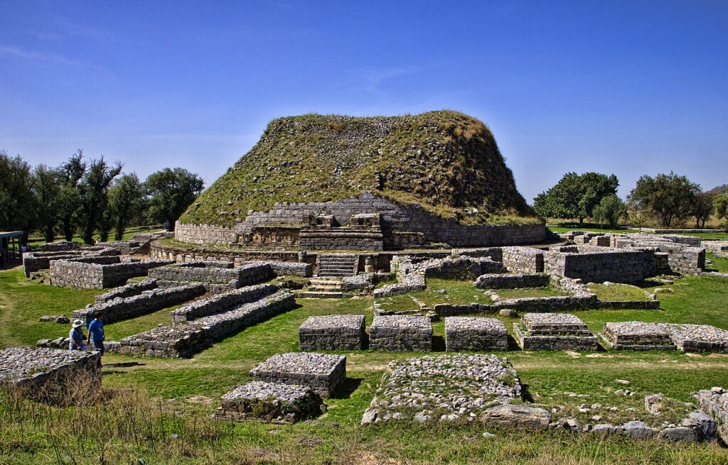
Taxila (UNESCO 1980) encompasses three successive cities built over 800 years on the Potohar Plateau — from the Achaemenid-era Bhir Mound (600 BCE) through the Hellenistic grid city of Sirkap to the Kushan-period Sirsukh — and is the site where Gandharan sculptors produced the first figurative representations of the Buddha in human form, blending Greek drapery conventions with Indian iconography between the 1st and 5th centuries CE. Lahore Fort (40 km west, UNESCO 1981) and Rohtas Fort (80 km southeast, UNESCO 1997) place Taxila within one of South Asia’s most concentrated heritage corridors spanning 2,500 years.
UNESCO Sites Near Lahore Fort: What to See

UNESCO Sites Near Lahore Fort: What to See

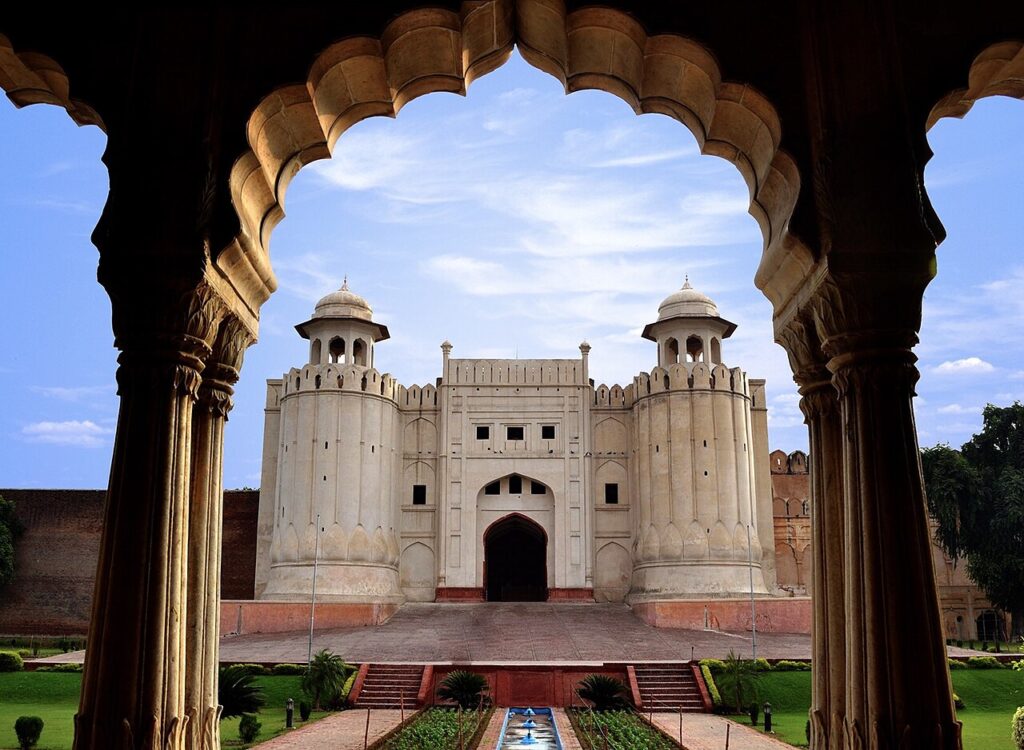
Lahore Fort and the Shalimar Gardens share a 1981 UNESCO inscription that encompasses 21 Mughal monuments built by every emperor from Akbar to Aurangzeb, including the Shish Mahal faced with 50,000 mirror fragments and the three-tiered Shalimar Gardens with 410 fountains — the gardens now on UNESCO’s In Danger list due to road construction that breached their historic perimeter. Rohtas Fort (100 km south, UNESCO 1997) and Taxila (40 km east, UNESCO 1980) add a 16th-century Afghan military fortification and an ancient Buddhist university city to one of South Asia’s most concentrated heritage corridors.

UNESCO Sites Near Mohenjo-daro: What to See

UNESCO Sites Near Mohenjo-daro: What to See

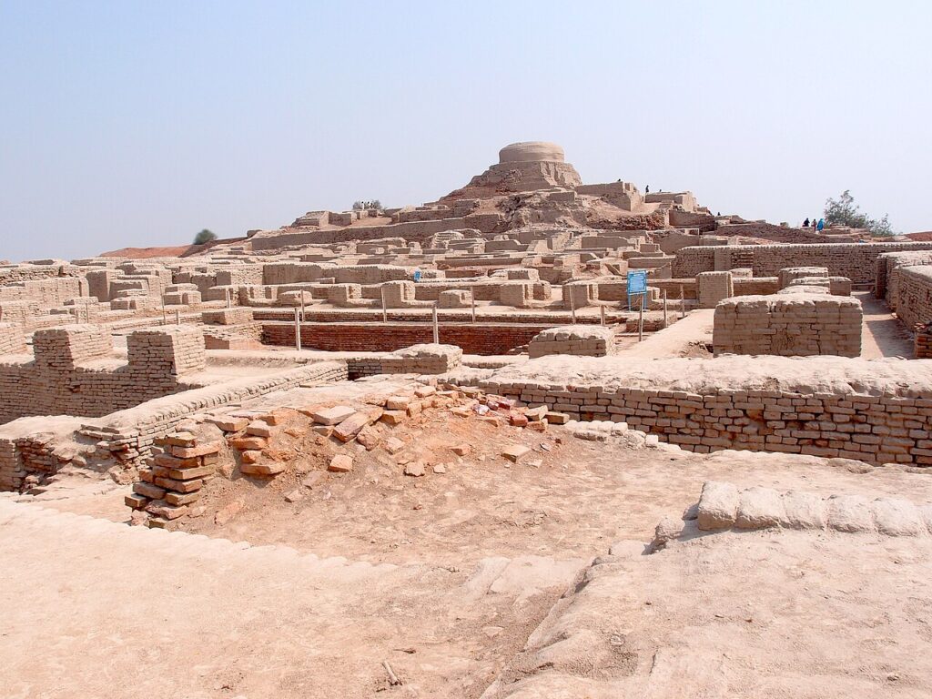
Mohenjo-daro was one of the largest cities of the Indus Valley Civilisation (2500–1900 BCE), with a grid street plan, standardised kiln-fired bricks and covered drainage channels connecting domestic flush toilets — infrastructure that would not reappear elsewhere for millennia. Its Indus script (400+ signs) remains undeciphered, leaving the city’s rulers, religion and history entirely unknown. The site has been on UNESCO’s World Heritage in Danger list since 2012 due to salt crystallisation destroying its ancient brick fabric.

UNESCO Sites Near Chitwan: What to See

UNESCO Sites Near Chitwan: What to See

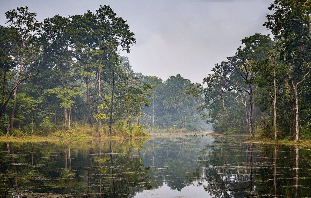
Chitwan National Park’s greater one-horned rhinoceros population grew from 95 individuals in 1968 to approximately 700 in 2023, one of the most documented large-mammal recoveries on record, achieved through sustained army-backed anti-poaching enforcement since 1975. The park was inscribed by UNESCO in 1984 as Nepal’s first natural World Heritage Site and sits 90 kilometres east of Lumbini, the Buddha’s birthplace, and 30 kilometres north of India’s Valmiki Tiger Reserve. Its Terai grasslands reach eight metres in height and support Bengal tigers, gharial crocodiles and Ganges river dolphins alongside the rhinoceros.

UNESCO Sites Near Sagarmatha: What to See

UNESCO Sites Near Sagarmatha: What to See

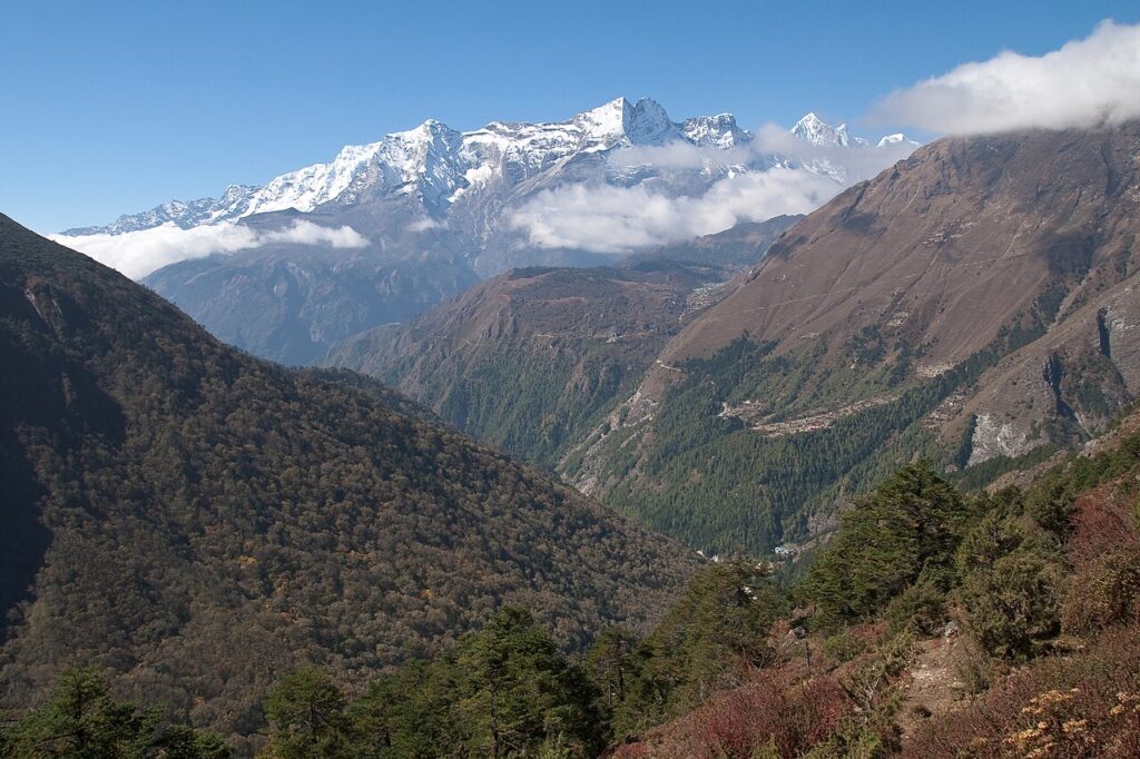
Sagarmatha National Park covers 1,148 square kilometres of terrain rising from 2,845 metres to 8,848.86 metres at the summit of Everest, first climbed on 29 May 1953 by Tenzing Norgay and Edmund Hillary after eight weeks on the mountain. The park was inscribed by UNESCO in 1979, the same year as Kathmandu Valley 170 kilometres to the southwest, making the two sites natural complements in any Nepal itinerary. Sherpa guides, whose genetic adaptation to altitude is documented in EPAS1 gene variants, run the entire technical infrastructure of Himalayan expedition climbing.

UNESCO Sites Near Kathmandu Valley: What to See

UNESCO Sites Near Kathmandu Valley: What to See

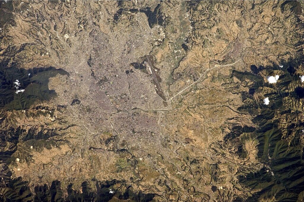
Kathmandu Valley’s seven UNESCO monument zones concentrate Newar civilisation’s finest pagoda temples, living goddess traditions and cremation ghats within a single metropolitan area. The April 2015 earthquake (7.8 Mw) destroyed nine of nineteen listed structures at Kathmandu Durbar Square and left UNESCO-led restoration programmes still ongoing a decade later. Two further UNESCO sites — Sagarmatha National Park and Lumbini — lie within 170 and 250 kilometres respectively, making the valley a practical base for South Asia’s densest concentration of World Heritage assets.

UNESCO Sites Near Lumbini: What to See

UNESCO Sites Near Lumbini: What to See

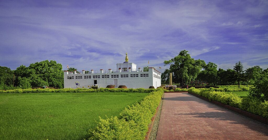
Lumbini, a UNESCO World Heritage Site since 1997, is the documented birthplace of Siddhartha Gautama in the Terai lowlands of southern Nepal. Emperor Ashoka’s 249 BCE pillar inscription — “here Buddha, the Blessed One, was born” — is the primary evidence for the site’s identification; the location was largely forgotten from the 7th century until German archaeologist Anton Alois Führer rediscovered the pillar in 1896. Within 280 kilometres: Chitwan National Park (90km, one-horned rhinoceros), the Kathmandu Valley’s seven monument zones (280km), and Sagarmatha National Park (Everest, 250km northeast).

UNESCO Sites Near Central Highlands: What to See

UNESCO Sites Near Central Highlands: What to See

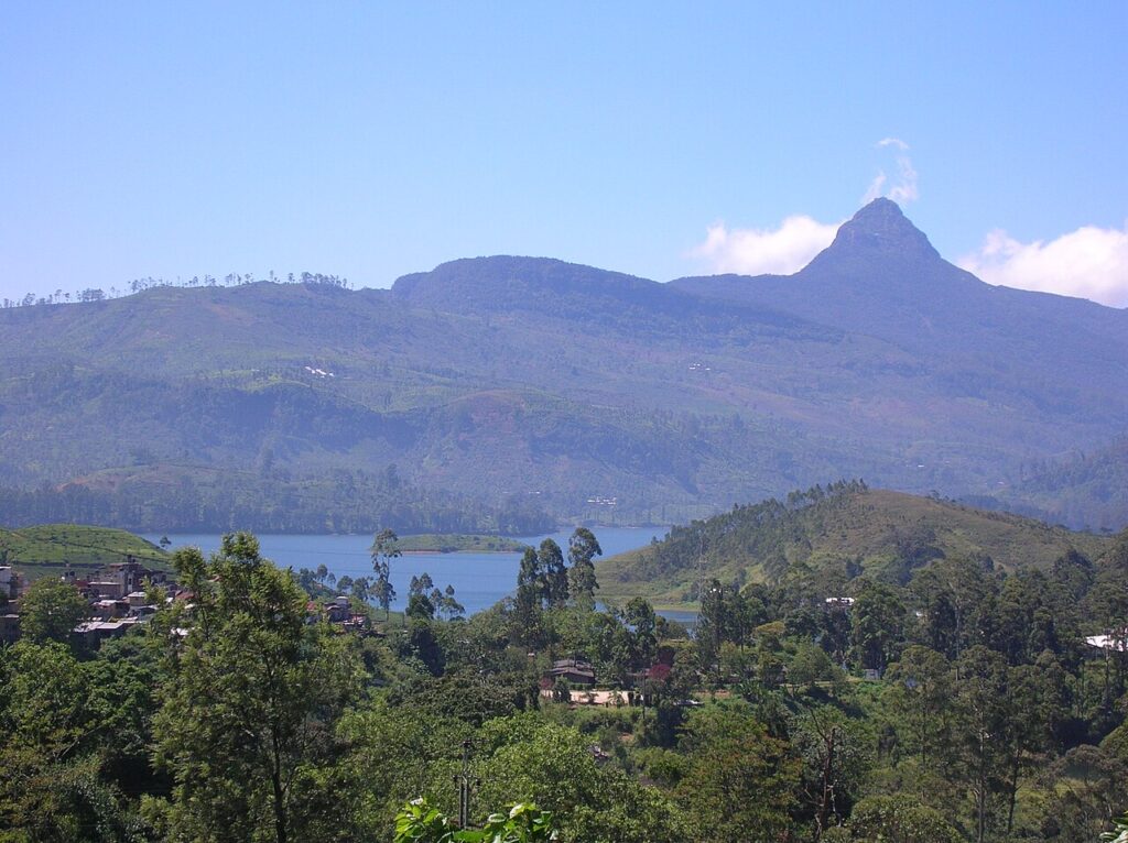
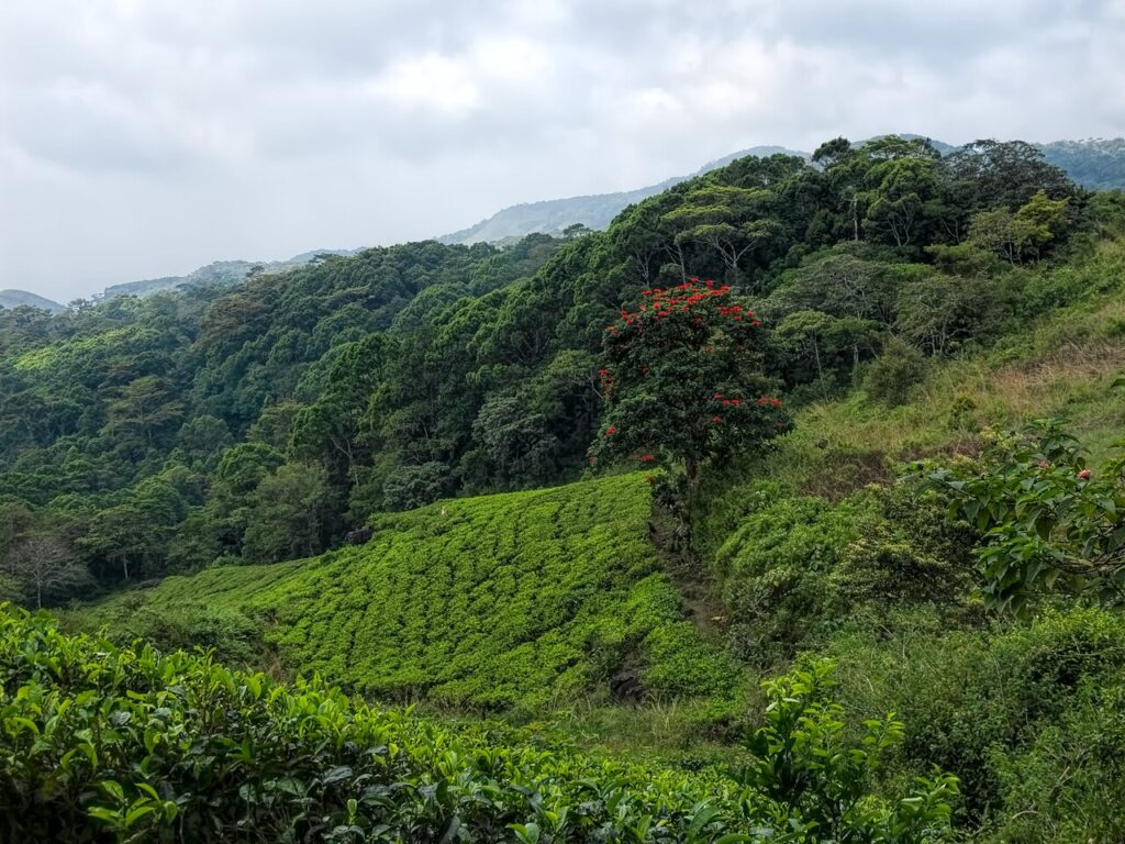
The Central Highlands of Sri Lanka, a UNESCO World Heritage Site since 2010, covers 56,000 hectares across three protected areas including Peak Wilderness (Adam’s Peak at 2,243m), Horton Plains (World’s End escarpment drops 880m), and the Knuckles Conservation Forest. The highland landscape is inseparable from the history of coffee leaf rust — which destroyed the entire Ceylon coffee industry between 1869 and 1879 — and the switch to tea that followed. Kandy (35km northwest) and Sinharaja Forest Reserve (40km south) are both within a half-day’s travel.

UNESCO Sites Near Sinharaja: What to See

UNESCO Sites Near Sinharaja: What to See

Sinharaja Forest Reserve, a UNESCO World Heritage Site since 1988, is the last viable tropical rainforest in Sri Lanka, covering 8,864 hectares in the Wet Zone and containing 60% of the island’s endemic tree species. Saved from commercial logging in 1977 after public protests, the reserve is known for mixed-species bird flocks of up to 15 species — a behaviour rare globally. The Central Highlands (40km north), Galle Fort (60km south), and Kandy (80km northeast) are all within a day’s travel.

Scroll to Top