A city built on water: engineering the Golden Age
In the early 17th century, Amsterdam undertook one of the greatest urban planning projects in history. Between 1613 and 1663, the city systematically extended itself by cutting a series of concentric semicircular canals — the Herengracht, Keizersgracht, and Prinsengracht — lined with 1,550 monumental canal houses built by the merchant families of the Dutch Golden Age. The result is the Grachtengordel: an urban achievement of singular beauty and audacity.
UNESCO inscription: hydraulic engineering as art
Inscribed in 2010, the Grachtengordel was recognised by UNESCO as an outstanding example of planned urban landscape design of the 17th century. The inscription acknowledges both the extraordinary hydraulic engineering that made it possible and the coherent architectural ensemble of canal houses that lines its banks — representing the high-water mark of Dutch mercantile civilisation.
The three great canals: Herengracht, Keizersgracht, Prinsengracht
The Herengracht (Gentlemen’s Canal) was the most prestigious address, lined by the grandest mansions. The Keizersgracht (Emperor’s Canal) followed — slightly less exclusive but equally grand. The Prinsengracht (Prince’s Canal) was more mixed, housing warehouses and workers’ homes alongside merchants’ residences. Together they form a 50-kilometre network of waterways within the inscribed zone.
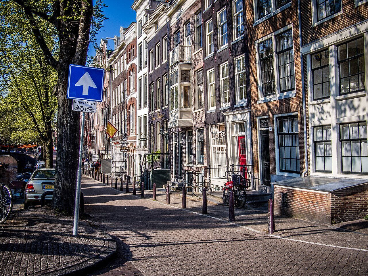
The canal house: a new building type
The Amsterdam canal house evolved a distinctive typology: narrow (to minimise the property tax levied per metre of canal frontage), deep, and tall, with a characteristic stepped or bell-shaped gable. Ground floors served as warehouses; upper floors housed offices and family quarters; attic spaces stored goods hoisted by the iron hook that still protrudes from every roofline. Nearly 2,500 of these houses are protected monuments.
Hydraulic genius: living below sea level
Amsterdam sits on a delta of the Rhine and Amstel rivers, largely below sea level. The construction of the Grachtengordel required driving tens of thousands of wooden piles through the unstable peat soil to reach the firm sand layer below, lining canals with oak timber, and managing the constant flow of water through a system of sluices and locks that still functions today.
The Golden Age city: VOC, art, and tolerance
The 17th century saw Amsterdam become the world’s leading trading port. The Dutch East India Company (VOC) operated from warehouses along these canals; Rembrandt painted in his house on the Jodenbreestraat; Spinoza philosophised; and refugees from religious persecution across Europe found shelter in a city whose tolerance was as pragmatic as it was principled. The Grachtengordel was the physical expression of this Golden Age.
Experiencing the canal ring today
The best way to understand the Grachtengordel is on foot or by boat: a canal cruise reveals the scale and coherence of the ensemble that is impossible to appreciate from the street. The Museum Van Loon and the Willet-Holthuysen Museum preserve furnished interiors of canal houses as they appeared in the 17th–19th centuries. The Jordaan neighbourhood, enclosed within the canal ring, retains its artisanal character and independent shops.
A 400-year experiment in urban water management
The Grachtengordel remains as functional as it was in 1663. The canals are still navigated by working boats; the water is managed by the same system of sluices; the houses still stand. Climate change and subsidence pose growing challenges to the city’s hydraulic infrastructure, but Amsterdam has always been a city that adapts to water — and the Grachtengordel is the supreme proof of that capacity.
Find it on the map
See this place and what’s around it →📷 Diventa un fotografo di Cultural Heritage Online
Condividi le tue foto dei luoghi: restano pubblicate con la tua firma come autore. Più vengono viste, più ti fai conoscere — e presto un concorso premierà le foto più apprezzate.
Accedi o registrati gratis per aggiungere una foto