Parco Nazionale Los Katíos (sito naturale): la foresta pluviale al crocevia tra Panamá e Colombia nel Chocó Biogeografico
Nell’angolo nord-occidentale della Colombia, dove il Darién panamese si trasforma nel Chocó colombiano senza che la foresta se ne accorga, il Parco Nazionale Los Katíos custodisce uno degli ecosistemi pluviali più ricchi di specie del pianeta. 720 km² di foresta bassa e media, zone umide, fiumi e cascate dove la fauna mesoamericana (tapiro di Baird, lince maculata) incontra quella sudamericana (giaguaro, anaconda, rana velenosa), e dove l’isolamento del Chocó dall’Amazzonia per milioni di anni ha prodotto un’esplosione di endemismi biologici. Patrimonio UNESCO dal 1994.
At a glance
Los Katíos National Park is a protected area of 720 km² in north-western Colombia (Chocó and Antioquia departments), sharing its northern border with the Darién National Park in Panama. UNESCO inscribed it in 1994 (ref. 711) for its exceptional biodiversity as a part of the Chocó Biogeographic Region — one of the most biologically diverse regions on Earth, with extraordinary plant and animal endemism. The park covers lowland and mid-elevation tropical forest, freshwater wetlands, the Cacarica River and its tributaries, and the Pacific-slope foothills.
Key facts
- UNESCO: World Heritage since 1994 (Los Katíos National Park, ref. 711); placed on Danger List 2009–2015
- Chocó: one of the most biodiverse regions on Earth; receives over 9,000 mm of rain annually in some areas
- Birds: over 450 species; includes harpy eagle, great green macaw, and numerous Chocó endemics
- Mammals: jaguar, puma, ocelot, Baird’s tapir, giant anteater, bush dog, giant otter
- Plants: over 669 plant species recorded; many endemic to the Chocó bioregion
- Rivers: the Cacarica, Perancho and Truandó rivers are the main access routes; no roads into the park
History
The Chocó region has been inhabited for thousands of years by the Emberá and Wounaan peoples, who live as semi-nomadic forest farmers along the rivers. Their intimate knowledge of the forest — medicinal plants, fishing techniques, navigation of the maze of waterways — is central to the ecosystem’s management. Los Katíos was established as a national park in 1974 and expanded in 1980. UNESCO inscription in 1994 recognised the park’s ecological significance.
The park was placed on the UNESCO Danger List in 2009 after construction of a dam on the Cacarica River (the Urrá II project) and problems with illegal settlements and land-clearing for cattle in the buffer zone. These issues were largely resolved by 2015, when UNESCO removed the Danger listing. The park remains one of Colombia’s most remote and pristine protected areas.
What you see
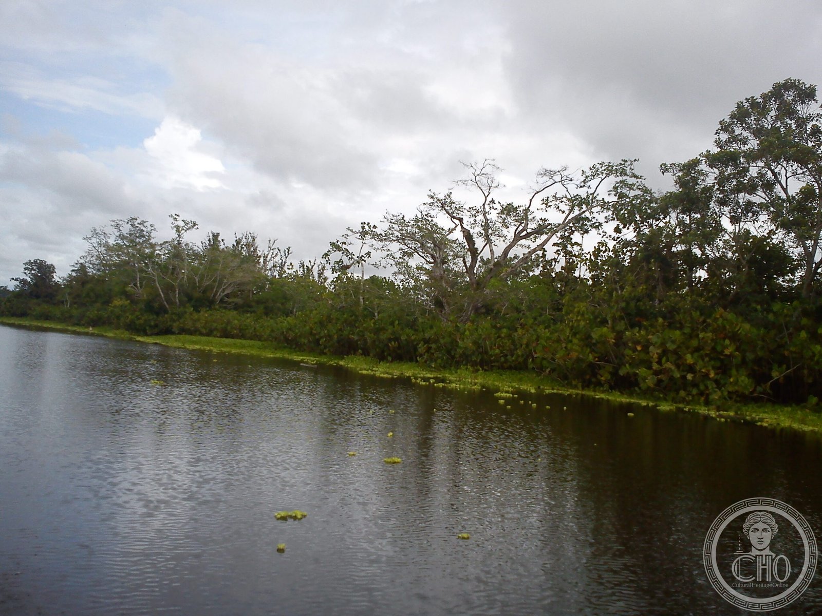
The Chocó forest is extraordinarily rich and dense: the canopy reaches 40–50 m, buttressed trees of giant proportions frame the river banks, and every surface is covered in epiphytes. The rivers are the main highways: dugout canoes navigate the Cacarica and its tributaries, and great flocks of macaws and parrots move through the tree-tops. Waterfalls including the Tilupo and Tendal falls create spectacular breaks in the forest monotony.
Wildlife is abundant but shy: jaguars and tapirs are recorded by camera trap but rarely seen. Birds are more accessible: the harpy eagle nests in the park, and flocks of great green macaws (globally threatened) are sometimes seen at clay licks on the riverbanks.
Practical information
- Access: fly from Medellín to Turbo; then motorboat to Unguía; then river boat into the park; no roads
- Guides: required; Emberá community guides from the Cacarica River villages have the best knowledge
- Security: the Chocó border zone has historically been affected by conflict; check current travel advisories
- Best time: January–April (drier period; rivers navigable; slightly less rain)
Getting there
Fly from Medellín (or Bogotá via Medellín) to Turbo (Golfo de Urabá coast). From Turbo, motorboat to Unguía (2 hrs) or further into the Chocó. The park entrance is by river from Unguía. GPS: 7.80° N, 77.15° W.
Nearby
- Darién National Park (UNESCO/Panama) — the contiguous Panamanian forest, 100 km north across the border
- Golfo de Urabá — the large bay on the Caribbean coast; Turbo is its main port
- Medellín — Colombia’s second city, a 1-hr flight away; gateway for Chocó expeditions
Sources
- UNESCO World Heritage Centre — “Los Katíos National Park” (ref. 711)
- Parques Nacionales Naturales de Colombia — Los Katíos
- Encyclopaedia Britannica — Chocó biogeographic region
Find it on the map
See this place and what’s around it →📷 Diventa un fotografo di Cultural Heritage Online
Condividi le tue foto dei luoghi: restano pubblicate con la tua firma come autore. Più vengono viste, più ti fai conoscere — e presto un concorso premierà le foto più apprezzate.
Accedi o registrati gratis per aggiungere una foto