Thonis-Heracleion
Egypt’s main Mediterranean port for a thousand years, Thonis-Heracleion sank beneath Abu Qir Bay around the 6th–8th century AD — and lay undisturbed 6.5 kilometres off Alexandria until French archaeologist Franck Goddio rediscovered it in 2000.
At a glance
Thonis-Heracleion occupies roughly 110 square kilometres of the shallow seabed in Abu Qir Bay, north-east of Alexandria. What Goddio’s team found using side-scan sonar was extraordinary: an entire city grid, monumental temples, colossal granite statues, a 5.4-tonne stele inscribed by Nectanebo I, over 700 ancient anchors, 64 sunken ships, and more than 16,000 coins. The city had served as the obligatory entry port for all trade between the Mediterranean and ancient Egypt, a role that gave it exceptional wealth — and left an unparalleled archaeological record on the bay floor.
Key facts
- Period: Active 7th century BC – c. 8th century AD
- Discovery: 2000, Franck Goddio (European Institute for Underwater Archaeology)
- Depth / Scale: 5–10 metres deep; site area approx. 110 km²
- Status: UNESCO World Heritage Tentative List (Egypt)
- Access: Research/scientific diving only; artefacts displayed at Grand Egyptian Museum, Cairo, and Musée National de la Marine, Paris
History
The twin names of this city reflect its dual identity: Thonis in Egyptian, Heracleion in Greek. Classical sources — including Herodotus and Diodorus Siculus — placed it near the Canopic mouth of the Nile, where incoming ships from the Aegean and beyond were required to clear customs. For centuries scholars debated whether Thonis and Heracleion were one city or two; the inscriptions recovered by Goddio’s team from the bay floor finally settled the question in 2001.
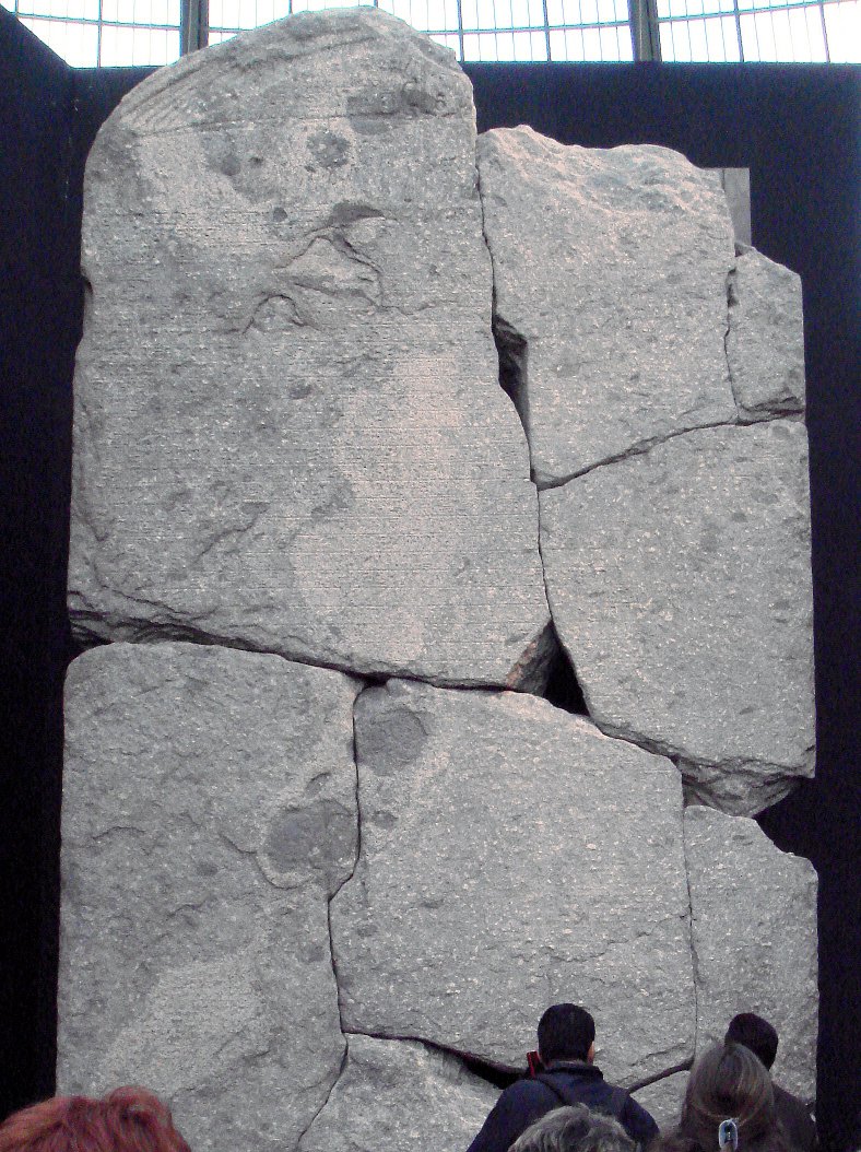
At its peak, the city housed the great Temple of Amun-Gereb, which sat at the centre of an intricate network of canals, basins, and quays. Colossal pink granite statues — a pharaoh, a queen, and the god Hapy — once flanked the temple entrance; they now stand in the Egyptian Museum in Cairo. The temple stele of Nectanebo I, dating to 380 BC and weighing 5.4 tonnes, carries a decree regulating the taxes and tithes owed to the temple on all Greek imports.
The city’s demise was abrupt rather than gradual. Geological evidence points to liquefaction of the soft sediment on which the city stood, probably triggered by earthquakes or storm surges, compounded by slowly rising sea levels. Sometime between the 6th and 8th centuries AD the ground simply gave way, and the city slipped beneath the bay. Because it sank quickly and was buried in fine silt, the organic and metallic objects preserved are of exceptional quality — wood, rope, bronze instruments, and ceramics that would have decayed on land.
What you see
The seabed at Thonis-Heracleion is a landscape of grey-green silt interrupted by colossal fragments: column drums three metres across, temple blocks still bearing hieroglyphic inscriptions, and the great torsos of statues lying exactly where they fell. In a visibility of 4–6 metres, the scale of individual objects — a granite naos shrine, a limestone sarcophagus the length of a car — registers as something close to architectural shock. The anchors, arranged in clusters across the harbour basin, speak directly to the city’s commercial function: 700 of them, spanning eight centuries of maritime trade.
The waterlogged sediment has preserved items rarely found in Egypt’s desert sites: wooden elements from ship hulls, bronze cult objects, and intact amphorae still sealed with their original stoppers. Goddio’s team has mapped the city using sub-bottom profilers and GPS-linked acoustic positioning systems, producing a digital plan precise to within 10 centimetres — the most detailed underwater site plan ever made for a classical-era city.
Practical information
- Best time to visit: Artefacts viewable year-round at the Grand Egyptian Museum, Cairo (opened 2023), and in temporary exhibitions in Paris and London
- Access method: The underwater site itself is restricted to scientific research teams; no recreational dive access
- Duration: Allow 2–3 hours for the Thonis-Heracleion gallery at the Grand Egyptian Museum
- Advance booking: Grand Egyptian Museum tickets available online via gem.gov.eg
Getting there
Cairo International Airport is the primary entry point for visitors wishing to see the recovered artefacts at the Grand Egyptian Museum in Giza. For Abu Qir Bay itself, Alexandria Borg El Arab Airport serves the region; the bay is approximately 20 kilometres north-east of central Alexandria by road. The site is accessible by research vessel from Alexandria marina but not open to the public.
Nearby
- Alexandria — Graeco-Roman Museum and Bibliotheca Alexandrina (30 km south-west)
- Abu Qir village — fishing harbour and Ottoman-era fortifications overlooking the bay
- Canopus — a second sunken Ptolemaic city in Abu Qir Bay, explored by the same IEASM team
Sources
- Wikipedia: https://en.wikipedia.org/wiki/Thonis-Heracleion
- IEASM (European Institute for Underwater Archaeology): www.ieasm.org
- Grand Egyptian Museum: gem.gov.eg
Find it on the map
See this place and what’s around it →📷 Diventa un fotografo di Cultural Heritage Online
Condividi le tue foto dei luoghi: restano pubblicate con la tua firma come autore. Più vengono viste, più ti fai conoscere — e presto un concorso premierà le foto più apprezzate.
Accedi o registrati gratis per aggiungere una foto