Walser Museum
The Walser Museum in Gressoney-Saint-Jean, high in the Lys Valley of the Aosta Valley, documents the life, language, and material culture of the Walser people — a Germanic-speaking Alpine community who migrated from the Valais in Switzerland from around the 13th century and settled in the high valleys of Italy, Switzerland, Liechtenstein, and Austria. The museum preserves traditional tools, costumes, domestic objects, and linguistic records that attest to this resilient mountain civilisation, which maintained a distinct identity across eight centuries of isolation and integration.
At a glance
- Type
- Ethnographic and cultural heritage museum
- Period
- Walser settlement in the Lys Valley from the 13th century; museum collection spans the 17th–20th century
- Style
- Alpine vernacular ethnography; Walser material culture and linguistic heritage
- Location
- Gressoney-Saint-Jean, Aosta Valley, Italy
- Coordinates
- 45.8607° N, 7.9382° E
Overview
The Walser people are the speakers of Walser German dialects — a variety of Highest Alemannic — who inhabit the high Alps of Switzerland, Liechtenstein, Austria, and Italy. Named after the Wallis (Valais), their region of origin, they crossed the main Alpine divide from roughly the 10th century onward, settling in valleys that other communities had considered too harsh for permanent habitation. In the Lys Valley, the Walsers established villages at elevations above 1,300 metres, developing an architecture, agronomy, and legal culture adapted to extreme mountain conditions. The Walser Museum in Gressoney-Saint-Jean presents this heritage to the public through a carefully assembled collection of local artefacts.
History
Walser settlers arrived in the Lys Valley around the 13th century, granted special autonomies by feudal lords in exchange for colonising marginal upland terrain. They brought with them Alemannic customs, the Titsch dialect (a form of Walser German), distinctive log-and-stone architecture, and communal land-management systems. Their isolation preserved archaic linguistic and cultural features long after these had disappeared elsewhere, making Walser communities an object of scholarly fascination from the 19th century onward. The museum was established to consolidate objects and documents that had survived in farmhouses, churches, and private hands, creating a permanent public record of a way of life increasingly altered by tourism and depopulation.
What you see
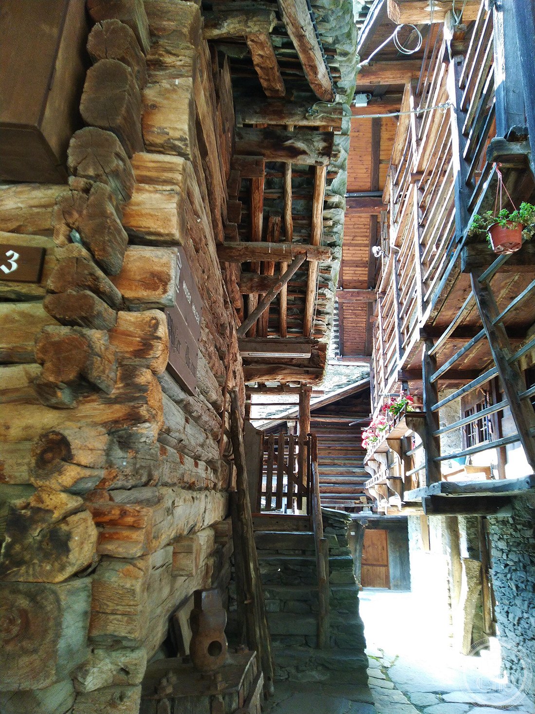
The museum displays traditional Walser costumes — including the characteristic Hübeliwams jacket and the elaborate women’s headdress — alongside agricultural implements for high-altitude farming, dairy equipment, spinning and weaving tools, and wooden domestic furnishings. Photographic archives and manuscript materials document village life and the Titsch language, which remains spoken by a small community in the valley today. The building itself, a restored example of traditional Walser construction, is part of the experience.
Cultural significance
The Walser Museum is one of a network of institutions across the Alps that collectively safeguard a shared transnational heritage recognised by scholars, linguists, and heritage bodies across Switzerland, Germany, Austria, and Italy. In the Aosta Valley context, it represents the cultural distinctiveness of a community that has preserved a Germanic linguistic island in a predominantly Francophone and Italian region for over 700 years.
Practical information
- Address
- Gressoney-Saint-Jean, 11025 Aosta Valley, Italy
- Opening hours
- Typically open in summer (June–September) and winter ski season; check official website for current hours
- Admission
- Check official website for current admission fees
Getting there
Gressoney-Saint-Jean is located approximately 85 km east of Aosta and 90 km north of Turin. It is accessible by bus from Pont-Saint-Martin, which is served by trains from Turin and Aosta. By car, take the A5 motorway and exit at Pont-Saint-Martin, then follow the SS299 up the Lys Valley for approximately 25 km.
Sources & resources
- Walser people — Wikipedia
- Gressoney-Saint-Jean — Wikipedia
- Cultural Heritage Online — More Alpine heritage
Find it on the map
See this place and what’s around it →📷 Diventa un fotografo di Cultural Heritage Online
Condividi le tue foto dei luoghi: restano pubblicate con la tua firma come autore. Più vengono viste, più ti fai conoscere — e presto un concorso premierà le foto più apprezzate.
Accedi o registrati gratis per aggiungere una foto