

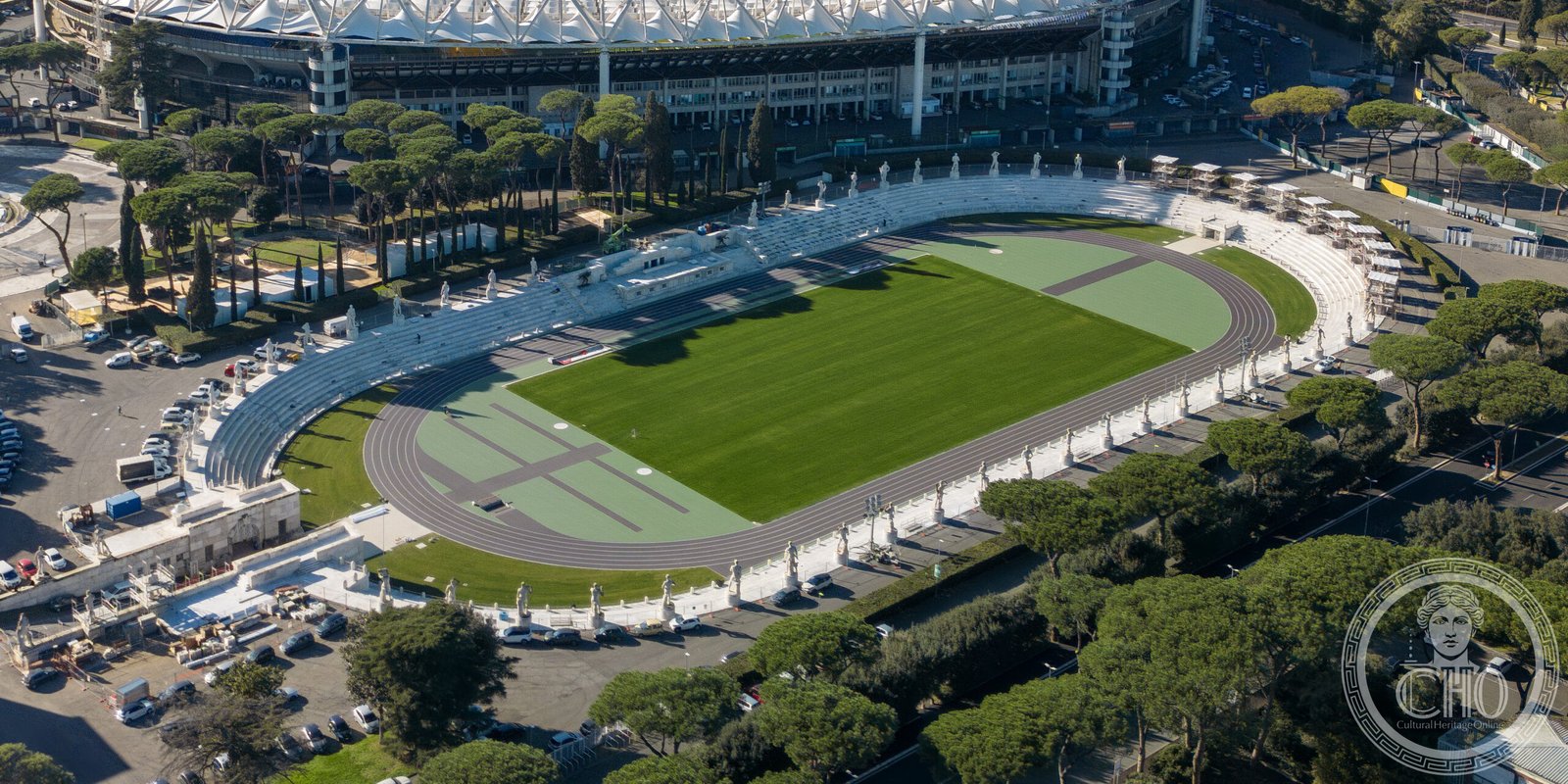
A monumental sports venue conceived as part of Fascist-era urban planning, this marble-clad stadium remains one of Rome’s most distinctive architectural statements from the interwar period.
At a glance
The Stadium of the Marbles is a purpose-built athletic facility designed by Enrico Del Debbio and completed in 1932. Originally conceived as part of the Foro Mussolini complex, the stadium showcases the architectural ambitions of early twentieth-century Rome.
History
Enrico Del Debbio designed the stadium in 1928 alongside his initial master plan for the Foro Mussolini. The project was completed and inaugurated in 1932, establishing the venue as a major sports facility in the capital.
What you see
The stadium’s defining feature is its marble cladding, which gives the structure its distinctive character. Del Debbio’s design reflects the monumental classical vocabulary favored in Rome during the 1920s and 1930s, with clean lines and substantial proportions characteristic of the period’s state-sponsored building programs.
Cultural significance
The Stadium of the Marbles represents a key moment in Rome’s twentieth-century urban development. As part of the larger Foro complex, it documents the architectural preferences and urban vision of the interwar era, offering insight into how sports facilities were conceived as vehicles for civic expression and national identity.
Key facts
- Designer: Enrico Del Debbio
- Completed: 1932
- Address: Viale dello Stadio dei Marmi, Roma
- Coordinates: 41.9342821305295, 12.457401752471924
- Phone: 06 324 0334
Getting there
The stadium is located at Viale dello Stadio dei Marmi in the northern part of Rome. Public transport serves the area; you can confirm specific routes and schedules with local transit authorities.
Sources & resources
Find it on the map
See this place and what’s around it →📷 Become a Cultural Heritage Online photographer
Share your photos of places: they stay published under your name as the author. The more they're seen, the more you get noticed — and soon a contest will reward the most appreciated photos.
Log in or sign up free to add a photoIs this page about you?
This page is read by travellers and heritage enthusiasts who find it on Google. Tell us how you are connected to this place and we will take it from there.