Former Military Railway Ostiglia–Treviso
The Former Military Railway Ostiglia–Treviso is a disused strategic rail line that once crossed the Po Valley and Veneto plain from Ostiglia in the Province of Mantua to Treviso in the Veneto region. Built in the early twentieth century for military logistics, the line connected the Adriatic hinterland with the northern Italian front. Today the abandoned trackbed and surviving infrastructure constitute an elongated heritage corridor of industrial archaeology, tracing more than 150 kilometres through the flat agricultural landscape of the Po plain.
At a glance
- Type
- Former military railway / industrial archaeology
- Period
- Early 20th century; decommissioned in the post-war decades
- Style
- Functional military engineering; brick station buildings
- Location
- Po Valley and Veneto plain, from Ostiglia (Mantua) to Treviso
- Coordinates
- 45.6201° N, 12.0632° E (Treviso endpoint)
Overview
The Ostiglia–Treviso railway was one of several strategic military lines laid across northern Italy in the early twentieth century to allow rapid troop and materiel movement. Running roughly parallel to the Po river before turning northeast toward the Veneto, the line served successive wartime needs and remained under military or state management for decades. The route passes through a series of small towns and crossing points that still retain original station buildings, level-crossing houses, and embankment structures.
History
The line was conceived during the build-up to the First World War as part of Italy’s programme to reinforce its northeastern frontier. Construction proceeded rapidly using military engineering resources, and the railway entered service to supply the fronts along the Isonzo and the Piave. During the Second World War the infrastructure was used again for troop movements and suffered bombing damage in several sections. Progressive decommissioning after 1945 left the trackbed largely intact but disused, and it passed into the hands of local administrations and private owners over the following decades.
What you see
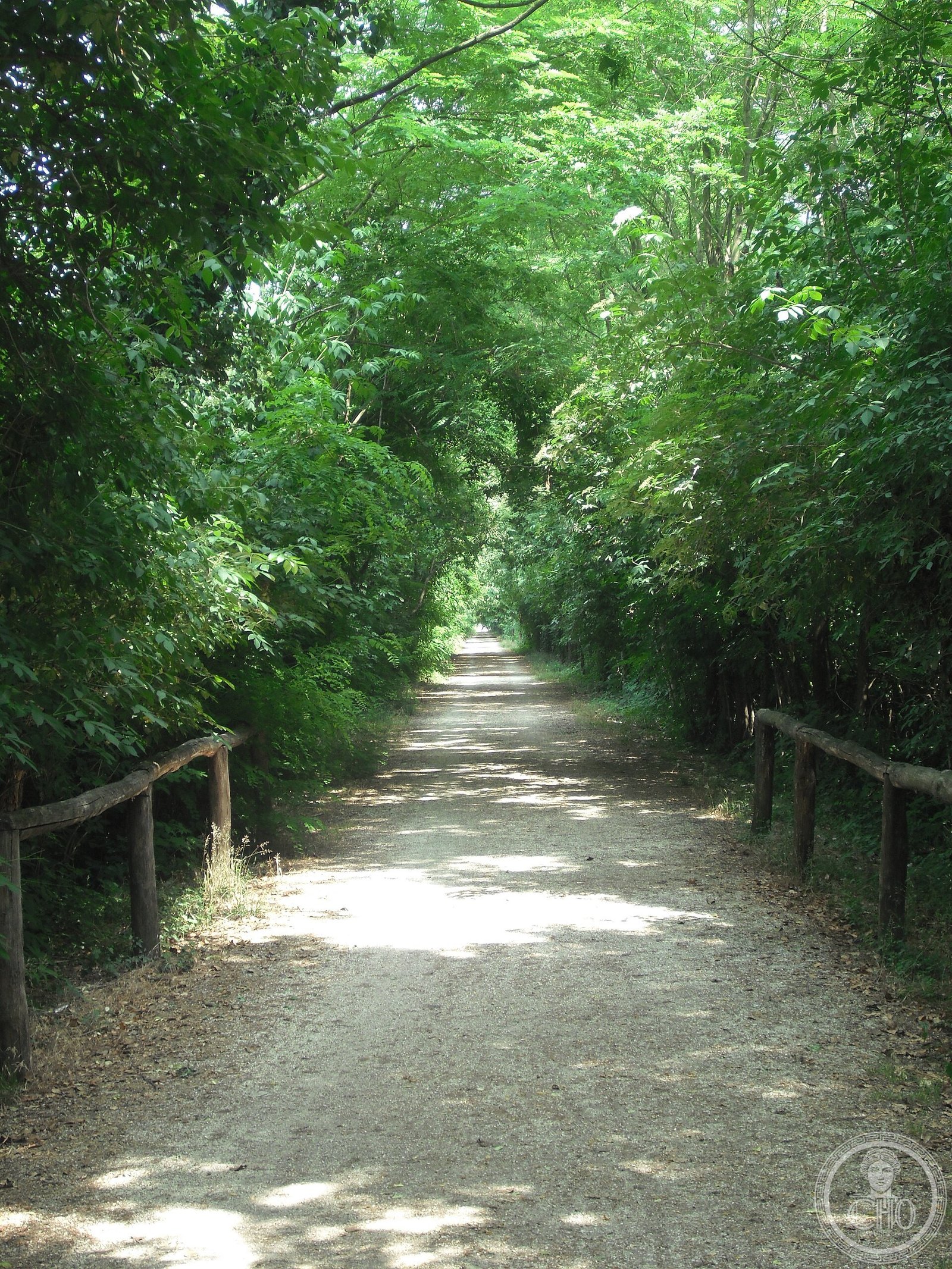
Along the former right-of-way visitors encounter brick station buildings in a sober utilitarian style typical of military railway construction, with low platforms, signal boxes, and level-crossing keeper’s houses. The embankment itself, largely clear of vegetation on stretches managed as greenway, allows views across the Po floodplain and the vine-covered Colli Euganei foothills further east. Several sections have been converted into cycling and walking paths, making portions of the route accessible on foot or by bicycle.
Cultural significance
As an example of early-twentieth-century military industrial archaeology, the Ostiglia–Treviso line documents how the Italian state reorganised its territory for modern warfare. Preservation efforts by local associations and regional authorities aim to transform the full length into a cross-regional greenway, linking communities and landscapes that the railway once served purely for strategic purposes.
Practical information
The former trackbed is not a single managed site; access points vary by municipality. Several stretches between Ostiglia and Legnago and between Cittadella and Treviso have been converted to public cycling paths and can be accessed freely. Check with local tourist offices (IAT Treviso, IAT Mantova) for current greenway maps and signage. No admission fee for open sections.
Getting there
The Treviso endpoint is reachable by train from Venice (Venezia Santa Lucia–Treviso, approx. 30 minutes). The Ostiglia endpoint is served by regional buses from Mantua. For cycling the greenway sections, bicycles can be hired in Treviso city centre. The central Veneto sections are accessible via the A4 motorway (Padova Est or Vicenza Est exits).
Sources & resources
Find it on the map
See this place and what’s around it →📷 Diventa un fotografo di Cultural Heritage Online
Condividi le tue foto dei luoghi: restano pubblicate con la tua firma come autore. Più vengono viste, più ti fai conoscere — e presto un concorso premierà le foto più apprezzate.
Accedi o registrati gratis per aggiungere una foto