
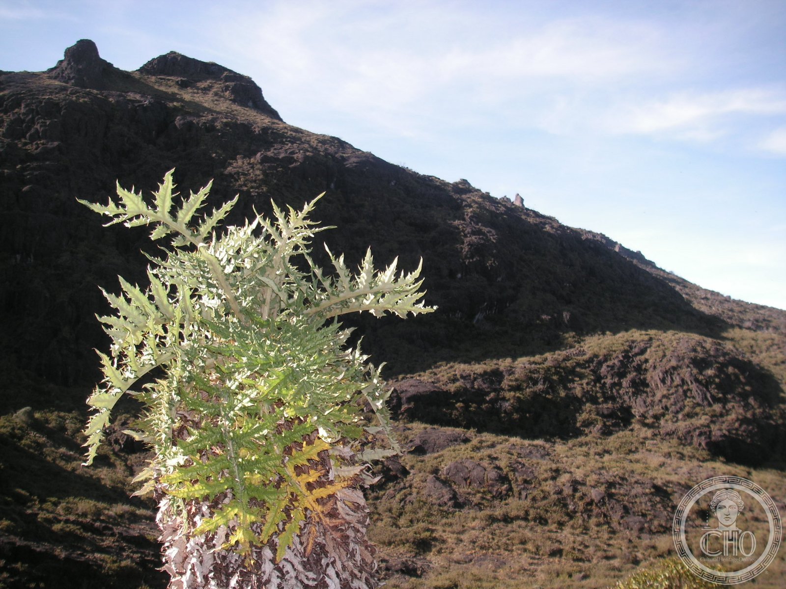
Costa Rica’s highest mountain crowns this biodiverse reserve, where cloud forests and alpine terrain span three provinces and meet UNESCO protection.
At a glance
Chirripó National Park protects one of Central America’s most ecologically significant landscapes. Its centerpiece, Cerro Chirripó, rises 3,821 metres above the surrounding terrain, making it the highest summit in Costa Rica and the 38th most prominent peak globally. The park encompasses portions of San José, Limón and Cartago provinces, preserving ecosystems that range from cloud forest to alpine páramo.
History
The park was established in 1975 to protect the region’s outstanding biological and environmental values. Its recognition extended internationally when it became part of the Talamanca Range–La Amistad Reserves/La Amistad National Park UNESCO World Heritage Site, acknowledging its role in preserving biodiversity across the broader conservation landscape.
What you see
Cerro Chirripó dominates the park’s geography and vistas. The mountain’s elevation creates distinct ecological zones visible as one ascends—from humid cloud forests at lower elevations to the exposed, windswept páramo near the summit. The park’s varied terrain and habitat mosaic support the exceptional species diversity for which it is recognized.
Cultural significance
The park’s designation reflects international recognition of its biological importance. As part of a UNESCO World Heritage Site, Chirripó represents a critical conservation area for Central American flora and fauna, contributing to regional environmental protection and scientific understanding of tropical mountain ecosystems.
Key facts
- Location: Costa Rica (San José, Limón and Cartago provinces)
- Coordinates: 9.48° N, 83.48° W
- Established: 1975
- Highest peak: Cerro Chirripó, 3,821 m (12,536 ft)
- UNESCO status: Part of Talamanca Range–La Amistad Reserves/La Amistad National Park World Heritage Site
Practical information & getting there
The park is accessible from multiple entry points across its three provinces. Your visit should account for the high elevation and variable mountain weather. Consult official Costa Rican park services for current access conditions, trail status and visitor facilities before planning your trip.
Sources & resources
Find it on the map
See this place and what’s around it →📷 Become a Cultural Heritage Online photographer
Share your photos of places: they stay published under your name as the author. The more they're seen, the more you get noticed — and soon a contest will reward the most appreciated photos.
Log in or sign up free to add a photo