
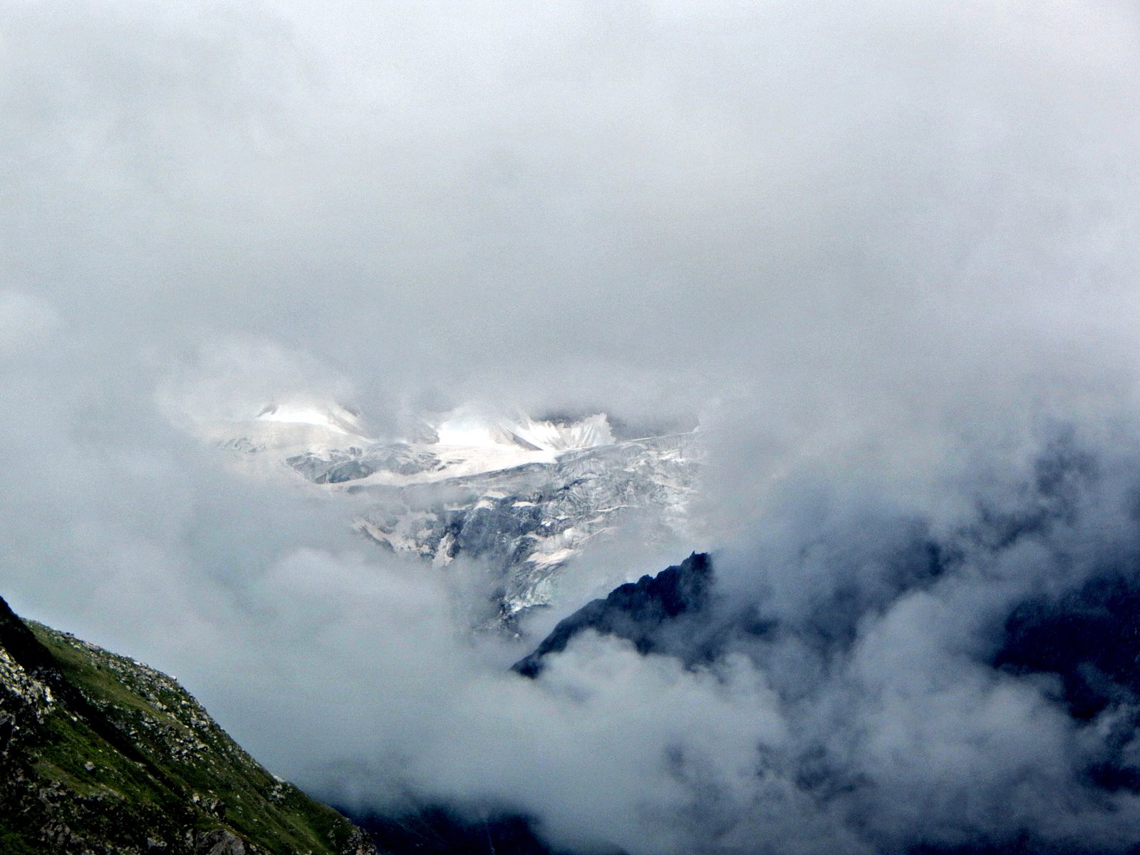
A UNESCO World Heritage Site protecting two distinct alpine ecosystems separated by 20 kilometres in the Indian Himalayas, combining the sacred mountain landscape of Nanda Devi with the botanical richness of the Valley of Flowers.
At a glance
This dual-core protected area encompasses 717.83 square kilometres of pristine mountain terrain in Uttarakhand, ringed by a combined buffer zone of 5,148.57 square kilometres. The two national parks represent complementary ecosystems within the Himalayan range.
History
The Nanda Devi National Park was first inscribed as a UNESCO World Heritage Site in 1988, recognising its ecological and cultural significance. Seventeen years later, in 2005, the designation was expanded to incorporate the Valley of Flowers National Park and establish a larger protective buffer zone, reflecting a broader strategy for landscape conservation in the region.
What you see
The site comprises two distinct landscapes. The Nanda Devi National Park’s 630.33 square kilometres centres on the mountain itself and its alpine environment. The Valley of Flowers National Park spans 87.50 square kilometres and is renowned for its seasonal wildflower displays against meadow and alpine forest backdrops.
Cultural significance
Nanda Devi holds spiritual importance in Hindu tradition as a sacred peak. The combined parks represent a major conservation achievement for the Indian Himalayas, protecting biodiversity and mountain ecosystems of global importance while preserving the cultural landscape that has shaped the region for centuries.
Key facts
- Country: India
- State: Uttarakhand
- Coordinates: 30.72°N, 79.67°E
- UNESCO World Heritage Site: Yes (1988; expanded 2005)
- Nanda Devi core area: 630.33 km²
- Valley of Flowers core area: 87.50 km²
- Combined buffer zone: 5,148.57 km²
Practical information & getting there
You can access these parks from the towns of Rishikesh and Haridwar, which serve the Uttarakhand region. Seasonal access and permits are typically required for entry. Contact local authorities or the Uttarakhand Tourism Board for current visiting conditions and regulations.
Sources & resources
Find it on the map
See this place and what’s around it →📷 Become a Cultural Heritage Online photographer
Share your photos of places: they stay published under your name as the author. The more they're seen, the more you get noticed — and soon a contest will reward the most appreciated photos.
Log in or sign up free to add a photo