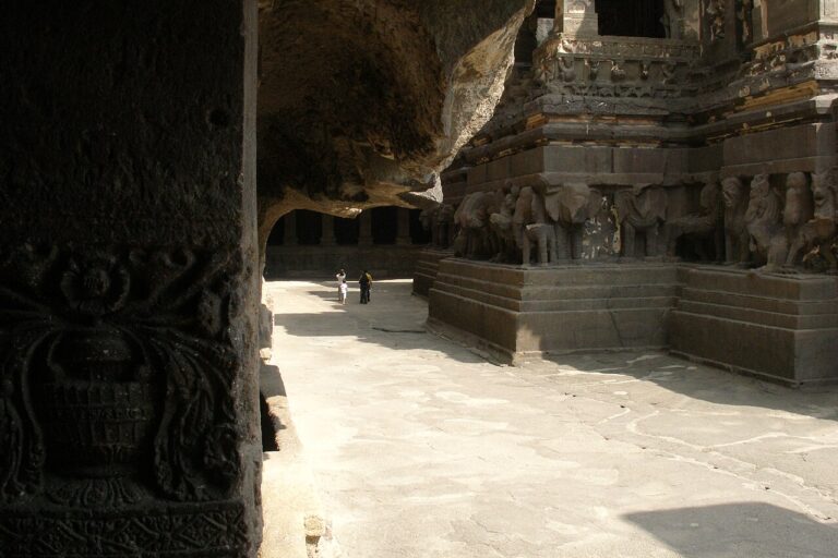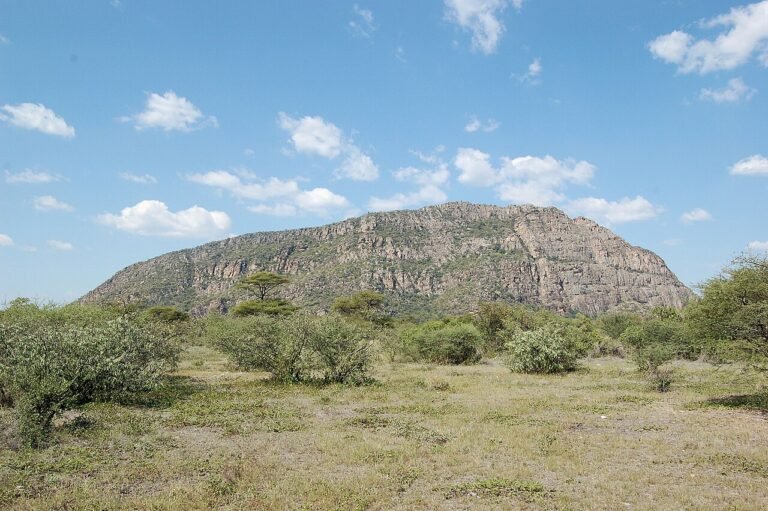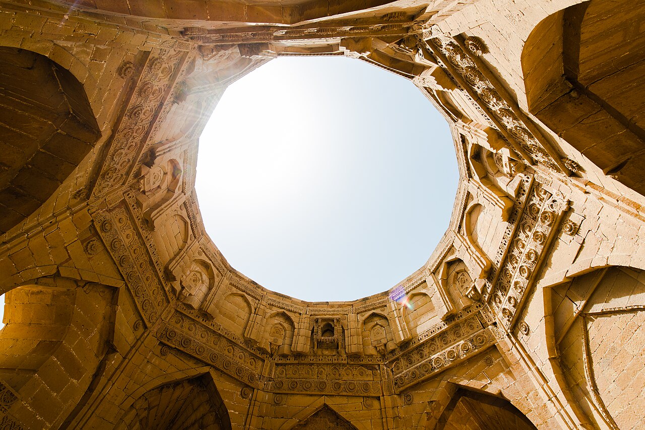
The Historical Monuments at Thatta, inscribed on the UNESCO World Heritage List in 1981, encompass the Makli Necropolis — at 8 square kilometres the largest funerary landscape in the world by area, with an estimated 500,000 to one million graves — and the 17th-century Jama Masjid built in Thatta city by Mughal Emperor Shah Jahan in 1647. Makli Hill rises 97 metres above the surrounding Indus plain and served as the royal burial ground for 14 successive dynasties that ruled Sindh between the 14th and 18th centuries, leaving behind tombs ranging from simple mud brick enclosures to elaborate structures faced with glazed blue and turquoise tiles and carved local sandstone. Mohenjo-daro (UNESCO 1980), the Indus Valley Civilisation city 4,500 years older than any tomb on Makli Hill, lies 55 kilometres to the north.
Makli Hill: The World’s Largest Necropolis and Fourteen Dynasties of Sindhi Rulers 100 km northeast of Karachi; 3 km from Thatta city
Makli Hill is a sandstone ridge elevated 97 metres above the flat alluvial plain of the lower Indus delta, 3 kilometres from the town of Thatta and about 100 kilometres northeast of Karachi. The hill was chosen as a burial site by the Samma dynasty in the 14th century and continued in use through the Arghun, Tarkhan, and Mughal periods of Sindhi history until the 18th century — a span of roughly 400 years during which the region was governed by a succession of rulers each of whom selected the hilltop as their dynastic necropolis. The total area of the funerary landscape covers approximately 8 square kilometres, and the number of individual graves ranges from 500,000 in conservative estimates to one million in others, the uncertainty arising from the density of unmarked or minimally marked graves surrounding the large monumental tombs.
The finest tomb on Makli Hill is that of Jam Nizam al-Din, the last great ruler of the Samma dynasty, who died in 1509. The Samma ruled Sindh from the 14th century and maintained Thatta as their capital, a city that at its height had a population comparable to contemporary London or Istanbul. Jam Nizam al-Din’s tomb is a double-storeyed structure in carved grey sandstone, with pierced stone screens (jali) in geometric and floral patterns covering its window openings. The exterior surfaces are decorated with carved medallions, interlaced borders, and inscriptive bands. The craftsmanship belongs to the Sindhi school of decorative stonework, which developed independently of but in dialogue with Mughal and Rajput workshop traditions further north. A small mosque is attached to the tomb complex.
The Isa Khan Tarkhan tomb (1644) represents the Tarkhan period that followed the Arghun, and shows the transition toward Mughal influence: its interior uses marble inlay work in a technique comparable to what Shah Jahan’s workshops were producing simultaneously at the Taj Mahal and the Delhi Red Fort. The Tarkhan tomb has an octagonal plan under a hemispherical dome — a form that had been established as the prestige dynastic mausoleum type in North India since the tombs of the early Delhi Sultanate. The integration of this pan-Indian form with locally produced glazed tile decoration in the turquoise and cobalt palette distinctive of Sindh gives the Makli tombs their specific architectural character: recognisably South Asian in structural form, locally specific in surface treatment.
Glazed tile work across the Makli tombs draws on a kilowatt tradition established in Sindh during the early medieval period. The cobalt, turquoise, and white tiles used to surface tomb domes and the medallion panels of exterior walls were fired at local kilns and are chemically and visually distinct from the tile traditions of Iran, Central Asia, and the Delhi Sultanate. Sindhi tile work uses a thicker glaze and tends toward bolder geometric compositions than the intricate arabesque patterns of Persian-influenced tile work found further west. This localism in craft production is one reason the Makli monuments form a coherent regional tradition rather than simply a provincial reflection of Mughal or Persian taste.
The Shah Jahan Mosque (Jama Masjid) in Thatta city, 3 kilometres from Makli Hill, was completed in 1647 — the same decade as the Taj Mahal and the Delhi Red Fort. Shah Jahan ordered its construction as a gift to the people of Thatta in recognition of the hospitality the city had shown him when he took refuge there as a prince before his accession. The mosque has 93 domes of varying sizes that create a unique acoustic system within the prayer hall: whispers spoken at one end of the hall can be heard at the other through the interlocking dome chambers. The brick construction is faced with glazed blue tiles in the local Sindhi palette rather than the marble and red sandstone preferred in Mughal construction at Delhi and Agra, adapting the imperial architectural vocabulary to available local materials.
Mohenjo-daro: The Indus Valley City 55 Kilometres North 55 km north by road along the Indus
Mohenjo-daro, inscribed on the UNESCO World Heritage List in 1980, is the largest known city of the Indus Valley Civilisation, occupied from approximately 2500 to 1900 BCE. It lies 55 kilometres north of Thatta on the west bank of the Indus, accessible by road through Hyderabad or directly from Thatta via the Indus highway. The city’s name in the Sindhi language means “Mound of the Dead,” given by local inhabitants who discovered the ruins long before their archaeological significance was understood. The earliest systematic excavations were conducted by Sir John Marshall of the Archaeological Survey of India beginning in 1921.
Mohenjo-daro was one of the first cities in the world to have a planned urban grid with a sewage and drainage system. The streets were laid out in a cardinal grid, with main streets up to 10 metres wide. Individual houses were built with brick-lined drainage channels that connected to covered municipal drains running beneath the main streets — an urban sanitation system more sophisticated than anything seen in contemporary Mesopotamia or Egypt. The Great Bath, a 12-by-7-metre tank lined with waterproof bitumen and supplied by a well within the complex, is the best-known structure at the site; its function remains debated, with interpretations ranging from ritual bathing to public water storage.
The Indus Valley Civilisation at its height (approximately 2600–1900 BCE) extended from what is now northwest India to eastern Afghanistan and covered a larger geographic area than the contemporary civilisations of Egypt and Mesopotamia. Mohenjo-daro and Harappa (in Punjab, approximately 600 kilometres northeast) were its two largest urban centres. The civilisation had a writing system — the Indus script — that has not been deciphered and remains one of the outstanding unsolved problems in linguistics and archaeology. Its origins and its relationship to later South Asian civilisations, including those that produced Sanskrit literature, are still actively debated.
The juxtaposition of Mohenjo-daro with Makli Necropolis creates a historical span of extraordinary depth within a 55-kilometre corridor along the Indus. The Indus Valley Civilisation flourished and declined approximately 4,000 years before the first Samma dynasty tomb was placed on Makli Hill. Between them, the region was occupied by the Achaemenid Persian Empire, by the successors of Alexander the Great, by the Mauryan Empire, by the Kushan dynasty, by Arab Muslim forces (who conquered Sindh in 711 CE), and by a succession of Islamicate dynasties before the Samma period. None of these intermediate cultures left UNESCO-listed monuments in the immediate vicinity; the extraordinary compression of the World Heritage designations at the two ends of the corridor — 2500 BCE and the 14th–18th century CE — is partly an artefact of what has survived above ground and partly a reflection of the genuine exceptional density of cultural achievement the lower Indus region has produced across its history.
The threat profile facing Mohenjo-daro is different from that of Makli. The site’s primary conservation challenge is salt crystallisation: groundwater rises through the brick of the ancient structures, carries dissolved salts to the surface, and deposits them as the water evaporates. This process, accelerating with each decade of irrigation development in the surrounding agricultural land, causes the ancient brick to spall and degrade. UNESCO and the Pakistani government have conducted multiple stabilisation programmes at the site; the most visible structures — the Great Bath, the Granary foundations, the Assembly Hall — are protected by shade structures that partially preserve them from direct rainfall while reducing temperature cycling. The site museum adjacent to the excavation area holds artefacts from the excavations, including the famous bronze statue of the “Dancing Girl” and the stone bust known as the “Priest-King,” both now in the National Museum of Pakistan in Karachi.
Thatta City and the Lower Sindh Heritage Corridor Karachi 90 km southwest; Hyderabad 100 km north
Thatta served as the capital of Lower Sindh from the 14th century until the 18th-century Talpur takeover transferred the political centre to Hyderabad. During its centuries as capital, Thatta was a major commercial city on the maritime trade routes linking the Red Sea and the Persian Gulf with the port of Lahori Bandar (now largely silted up) at the Indus delta. Portuguese traders established relations with the Samma rulers in the early 16th century; the Jesuit priest Francis Xavier passed through Thatta in 1542 on his way to Goa. Mughal Emperor Akbar visited Thatta in 1574 and the city’s fortunes intertwined with those of the Mughal court at both Agra and Lahore. The construction of the Shah Jahan Mosque in 1647 underscores the city’s standing in the empire at that date.
The decline of Thatta followed the 18th-century silting of the Indus tributary that had given the city its riverine access, combined with the political disruption caused by the Mughal collapse and the rise of the Talpur Amirs. By the time British administrators surveyed the region in the early 19th century, Thatta had already contracted to a small town, its former urban fabric replaced by agricultural fields and the enormous cemetery mound of Makli Hill. The Walled City of Thatta still retains a concentration of tile-decorated merchant houses and smaller mosques from the 17th–18th centuries that provide urban context for the monumental architecture of Makli and the Jama Masjid, though these structures are not included in the UNESCO inscription and are in varying states of repair.
Practical information
The best time to visit the Thatta and Makli region is November through February, when temperatures along the Indus delta range from 10°C to 25°C. Summer (April–September) is extremely hot, regularly exceeding 42°C near the Indus, and the monsoon (July–September) brings humid conditions to the coast and occasional flooding in the delta. Thatta is approximately 90 kilometres from Karachi; the journey by road via the National Highway (N-55) takes 90 minutes to 2 hours depending on traffic conditions leaving Karachi. Local buses and Coaster vans serve the route from Karachi’s Sohrab Goth terminal. Mohenjo-daro requires a separate trip: 55 kilometres north of Thatta, the site is most practically accessed by road from Hyderabad (approximately 60 km, 1 hour) or by PIA flights to Mohenjo-daro Airport (weekly service from Karachi). Pakistan e-visa covers entry for most foreign nationalities; the currency is the Pakistani rupee (PKR). Entry to Makli Necropolis and the Shah Jahan Mosque is managed by the Sindh Archaeology Department; entry fees are modest. The site has no significant visitor facilities within the necropolis area itself, so carry water and sun protection. Mohenjo-daro has a small resthouse and basic canteen for visitors who arrive on the archaeological circuit.
Frequently Asked Questions
What makes Makli Necropolis the world’s largest, and how is it different from other major necropolises?
The designation of Makli as the world’s largest necropolis rests primarily on its total area of approximately 8 square kilometres and an estimated burial count of 500,000 to one million individuals. The range in the burial count estimate reflects the difficulty of counting graves on a site where the majority are unmarked or marked only with simple stone slabs that have been disturbed over centuries. For comparison, the Wadi al-Salam necropolis in Najaf, Iraq — another frequently cited candidate for the title — covers a similar footprint and has been in use since Islamic times, while Makli was established in the 14th century and fell out of active use by the 18th century, making it a closed historical record rather than a site still receiving burials. The architectural variety at Makli distinguishes it from cemeteries that consist primarily of simple graves: the monumental tombs of the Samma, Arghun, Tarkhan, and Mughal rulers are substantial structures using carved sandstone, glazed tile, marble inlay, and pierced stone screens, comparable in architectural ambition to the more famous dynastic mausoleums of North India and Central Asia. This combination of monumental built architecture and vast numbers of ordinary graves across a single contiguous hilltop without parallel elsewhere in South or Central Asia is what secured the UNESCO inscription and the “world’s largest” designation.
What was Francis Xavier doing in Thatta in 1542, and what was the city like at that date?
Francis Xavier, the Navarrese Jesuit priest who became one of the most significant Catholic missionaries in Asia, passed through Thatta in 1542 on a voyage between Goa (Portugal’s administrative capital in India) and Hormuz in the Persian Gulf. At that date Thatta was under the rule of the Arghun dynasty, Timurid-descended rulers who had displaced the Sammas in 1521. The city was a substantial commercial centre — contemporary accounts estimate its population at several hundred thousand, making it one of the larger cities in South Asia at the time. Portuguese merchants from Goa maintained a trading presence in the Indus delta ports, and Xavier’s passage was part of a broader pattern of Portuguese commercial and missionary activity along the Indian Ocean littoral. Xavier is not known to have made significant converts in Thatta; his purpose appears to have been transit rather than mission, and his correspondence from this period focuses on Goa and the ports further west. The city Xavier saw would have included the large congregational mosque complex that preceded the current Shah Jahan Mosque (built 1647, five years after Xavier’s visit), the active market areas along the Indus tributary, and the already substantial necropolis on Makli Hill, where Samma-era tombs had been accumulating for over a century. Xavier died in 1552 on Shangchuan Island off the coast of China and was canonised in 1622.
How do you combine a visit to Makli and Mohenjo-daro into a practical itinerary?
Combining Makli Necropolis and Mohenjo-daro requires at least two days and careful planning because the two sites, while only 55 kilometres apart along the Indus, are not conveniently connected by frequent public transport. The most practical approach is to base yourself in Karachi (for Makli) and Hyderabad or Larkana (for Mohenjo-daro) on successive nights. Day one: drive from Karachi to Thatta (90 km, 90 minutes); visit the Shah Jahan Mosque in the town centre first, then drive 3 km to Makli Hill; plan three to four hours on the hill to cover the principal Samma and Tarkhan tombs; return to Karachi or continue north to Hyderabad. Day two: from Hyderabad drive northwest toward Larkana (approximately 250 km, 4 hours); visit Mohenjo-daro and the adjacent museum; return or fly from Mohenjo-daro Airport to Karachi (weekly PIA service, approximately 40 minutes). Alternatively, some visitors fly directly from Karachi to Mohenjo-daro Airport and then return to Karachi for the Thatta/Makli visit as a day trip. The combined itinerary gives you a span from 2500 BCE (Mohenjo-daro) to the 18th century CE (latest tombs on Makli Hill) within a 55-kilometre stretch of the Indus, one of the most historically dense geographic corridors in South Asia.