Paola Bonometti
Content Editor

Paola Bonometti

Contributions: 1.022 articles

Nome dell'autore: Paola Bonometti

UNESCO Sites Near Phong Nha-Kẻ Bàng: What to See

UNESCO Sites Near Phong Nha-Kẻ Bàng: What to See

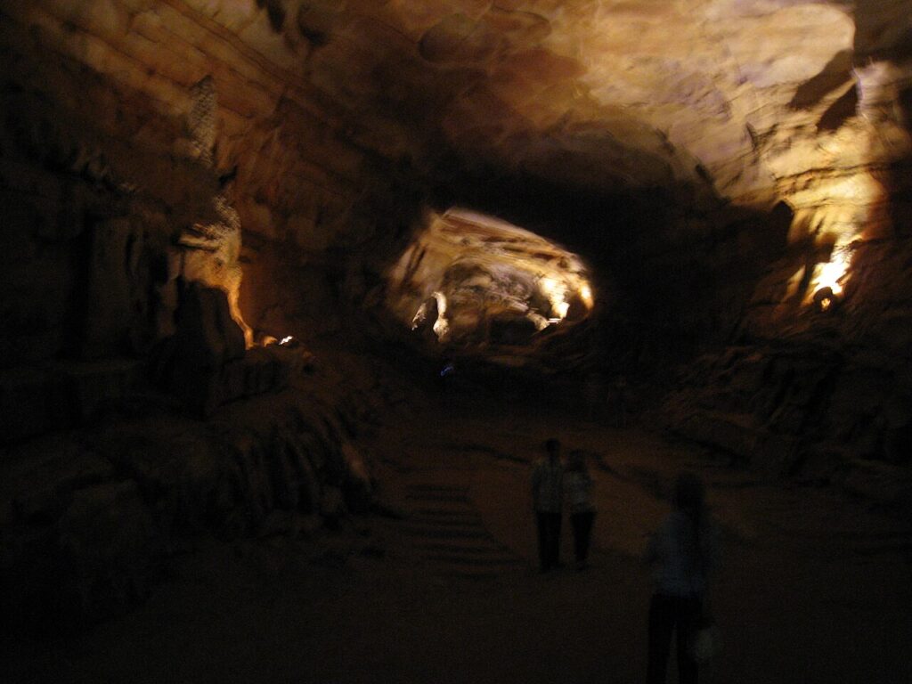
Phong Nha-Kẻ Bàng National Park in central Vietnam holds the world’s largest cave — Sơn Đoòng, 5.5 km long and 150 m tall — within a 400-million-year-old karst system of more than 300 caves, including Phong Nha cave, navigable by boat for 1.5 km and used as a wartime supply route and field hospital during the 1965–1973 bombing campaigns. Four UNESCO World Heritage Sites lie within 330 km: Hạ Long Bay and Tràng An to the north, and Huế and Hội An to the south.
UNESCO Sites Near Hạ Long Bay: What to See

UNESCO Sites Near Hạ Long Bay: What to See

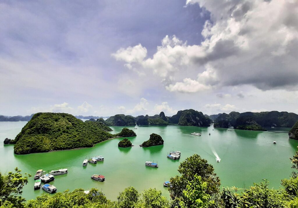
Hạ Long Bay’s 1,969 limestone karst islands, listed by UNESCO in 1994 and extended in 2000 to cover 1,553 square kilometres, anchor a southward corridor of four further UNESCO World Heritage Sites: Tràng An karst (2014), Phong Nha-Kẻ Bàng caves (2003), the Citadel of Hồ Dynasty (2011), and the trading port of Hội An (1999), connected by a single coastal rail and road corridor.

UNESCO Sites Near Luang Prabang: What to See

UNESCO Sites Near Luang Prabang: What to See

Luang Prabang, inscribed by UNESCO in 1995, preserves 32 Buddhist temples and French colonial architecture on a Mekong river peninsula that served as the royal capital of Lane Xang from 1353. Within 700 kilometres lie two further UNESCO sites: the Plain of Jars (2019), an Iron Age field of stone funerary vessels on the heavily bombed Xieng Khouang Plateau, and Vat Phou (2001), a 5th–12th-century Khmer temple with the oldest known Sanskrit inscription in the region.

UNESCO Sites Near Sukhothai: What to See

UNESCO Sites Near Sukhothai: What to See

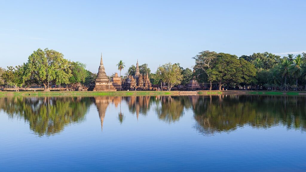
Sukhothai, founded in 1238 as the first independent Thai kingdom, preserves 193 monuments across 70 square kilometres and is where King Ramkhamhaeng invented the Thai alphabet in 1283. Its UNESCO listing covers two additional cities: Si Satchanalai (57 km north), source of the Sawankhalok ceramics found across maritime Southeast Asia, and Kamphaeng Phet (70 km south), a fortification city with 40 surviving ruins. Ayutthaya, 340 km south, was the successor kingdom that absorbed Sukhothai in 1438.

UNESCO Sites Near Ayutthaya: What to See

UNESCO Sites Near Ayutthaya: What to See

Ayutthaya, capital of the Siamese kingdom from 1351 to 1767 and home to an estimated one million people by 1700, was destroyed by Burmese forces in a two-day assault and never rebuilt. Its three royal chedis at Wat Phra Si Sanphet, built 1492–1503, enshrined the ashes of three consecutive kings. Within 500 km, the UNESCO-listed Sukhothai (340 km north, founded 1238) and the Bronze Age site of Ban Chiang (500 km northeast, inhabited from 3600 BCE) represent the deeper layers of Thai civilisation.

UNESCO Sites Near Borobudur: What to See

UNESCO Sites Near Borobudur: What to See

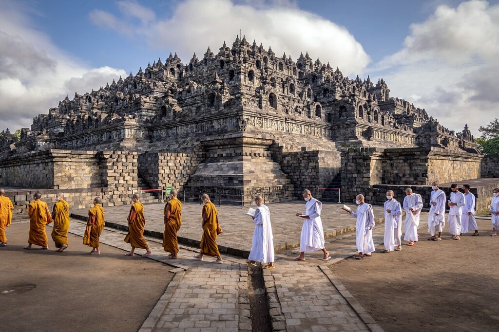
Borobudur, built around 800 CE by the Sailendra dynasty and rediscovered by a British expedition in 1814 after seven centuries under volcanic ash, holds 2,672 narrative relief panels and 504 Buddha statues on nine stacked platforms. Forty kilometres east, the Prambanan Hindu complex features a 47-metre Shiva temple; 50 km north, the Sangiran site has yielded approximately 50 percent of all known Homo erectus fossils in the world. All three UNESCO-listed sites are accessible from Yogyakarta in Central Java.

UNESCO Sites Near Angkor Wat: What to See

UNESCO Sites Near Angkor Wat: What to See

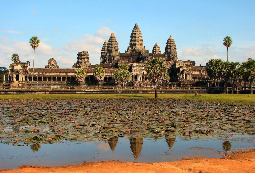
Angkor Wat, built between 1113 and 1150 CE by Suryavarman II, covers 162.6 hectares and remains the largest religious monument on Earth. Within the same UNESCO-listed Angkor Archaeological Park, the walled capital of Angkor Thom — built by Jayavarman VII in the late 12th century — once housed an estimated one million people. Preah Vihear, a cliff-top sanctuary 240 km north and the subject of a 1962 International Court of Justice ruling, and Sambor Prei Kuk, a 6th–8th century pre-Angkor capital with over 100 brick temples, round out one of the densest concentrations of monumental heritage in Southeast Asia.

UNESCO Sites Near Mahabalipuram: What to See

UNESCO Sites Near Mahabalipuram: What to See

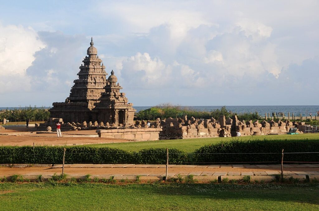
Mahabalipuram is a UNESCO-inscribed group of Pallava dynasty monuments on the Tamil Nadu coast, 60 km south of Chennai, including the Shore Temple (c. 700–728 CE) positioned at the waterline as a navigation landmark, five monolithic temples carved from single granite boulders but never completed or consecrated, and a 27-metre bas-relief with approximately 100 figures depicting the Descent of the Ganges. UNESCO inscribed the site in 1984 among India’s first five World Heritage nominations.

UNESCO Sites Near Elephanta Caves: What to See

UNESCO Sites Near Elephanta Caves: What to See

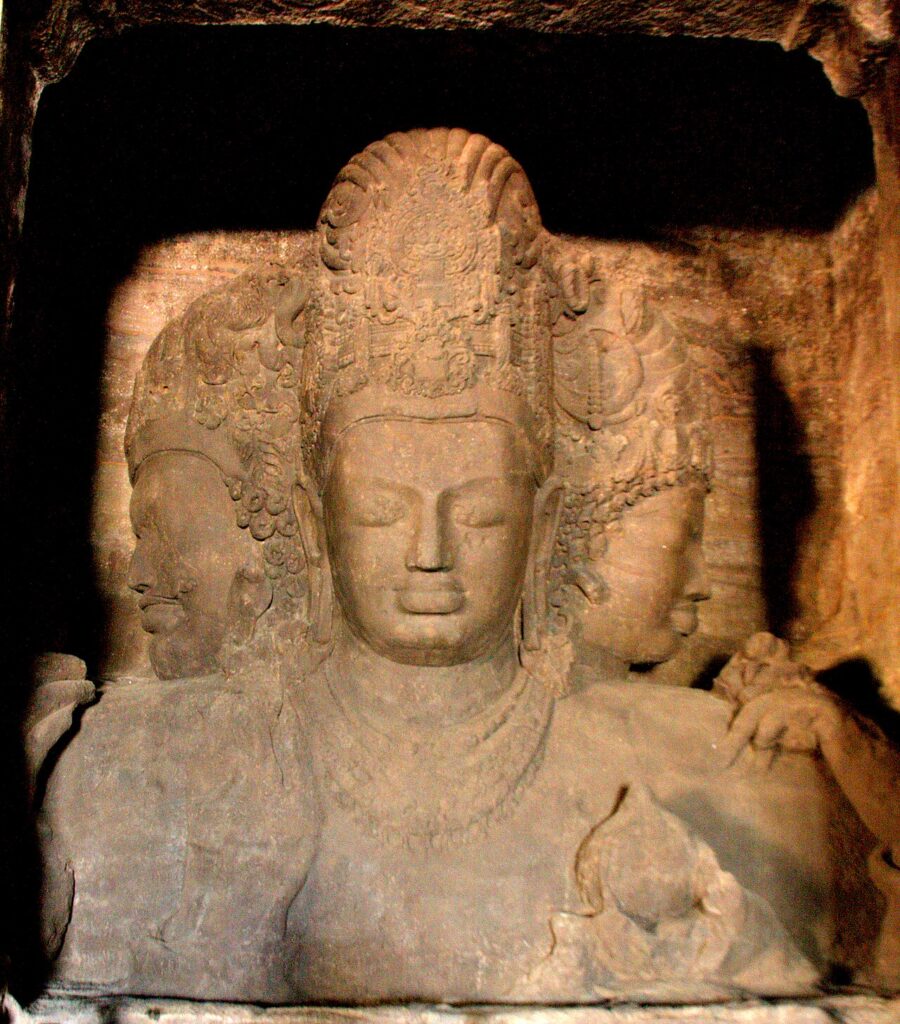
The Elephanta Caves are a complex of rock-cut cave temples on Gharapuri Island in Mumbai Harbour, 11 km from the Gateway of India by ferry. The main cave contains a 5.45-metre three-faced Trimurti of Shiva carved from living basalt, dated to the 5th or 6th century CE. Portuguese soldiers used the island as a military base after 1510 and damaged several of the cave sculptures; the stone elephant that gave the island its current name was removed and partially reconstructed, and is now in a Mumbai museum.

UNESCO Sites Near the Red Fort: What to See

UNESCO Sites Near the Red Fort: What to See

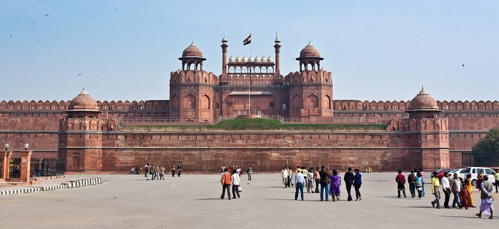
The Red Fort (Lal Qila) is a Mughal imperial palace built by Shah Jahan in Old Delhi between 1639 and 1648 CE, serving as the residence of Mughal emperors until 1857. After the Indian revolt of that year, British forces demolished approximately two-thirds of the palace buildings; surviving structures include the Diwan-i-Khas with its inscription declaring “If there is paradise on earth, it is here.” On 15 August 1947, Jawaharlal Nehru raised India’s flag from its Lahori Gate.

Torna in alto