Benin has two UNESCO World Heritage Sites reachable from the capital Porto-Novo: the Royal Palaces of Abomey, 140 km northwest — the physical record of the Kingdom of Dahomey’s two and a half centuries of power — and the Koutammakou landscape in the northeast, a cultural landscape of earthen tower-houses built by the Batammariba people. From Cultural Heritage Online.
Royal Palaces of Abomey 140 km northwest — 2 hr by road
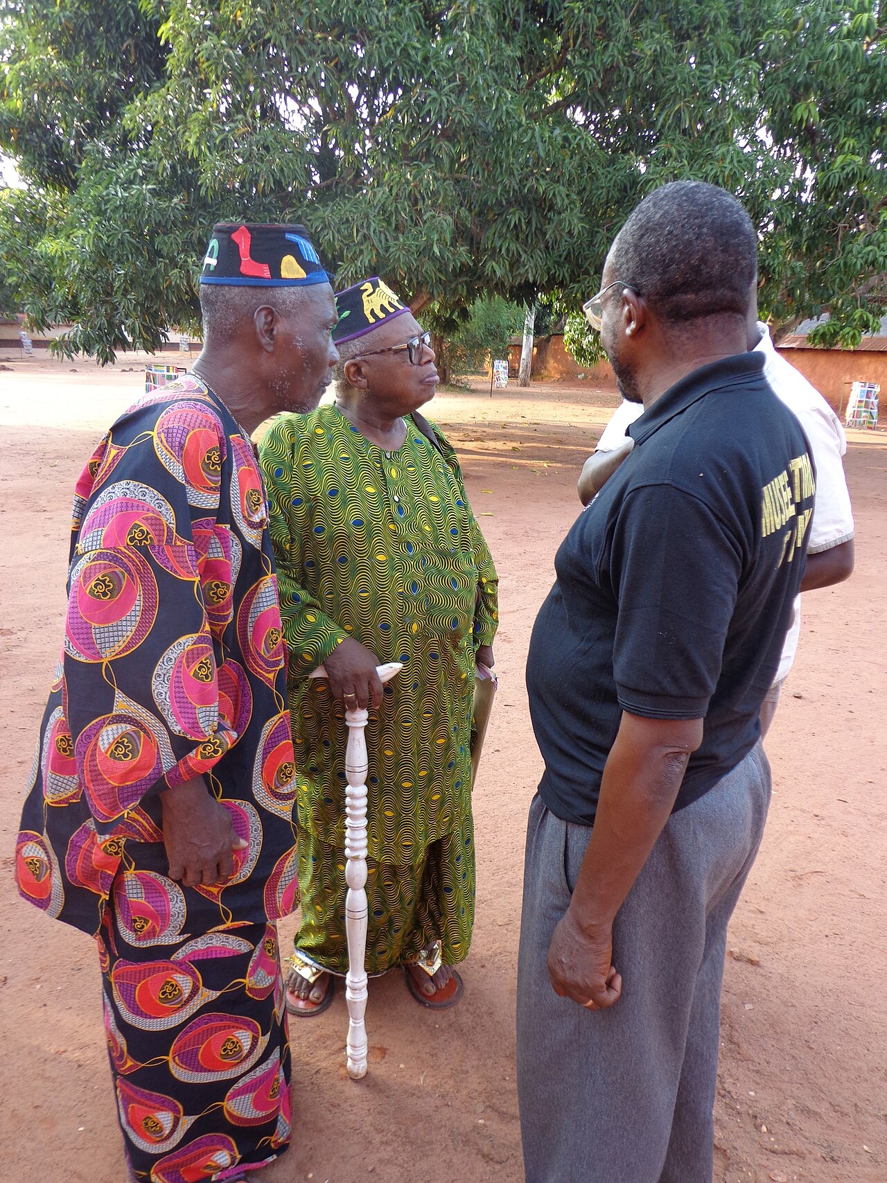
The Royal Palaces of Abomey cover 44 hectares at the centre of the historic city of Abomey and constitute the physical archive of one of West Africa’s most powerful pre-colonial kingdoms. The Kingdom of Dahomey, founded around 1620, controlled a territory roughly corresponding to southern Benin from the seventeenth to the nineteenth century. Each successive king built his own palace adjacent to those of his predecessors, so the compound grew as a layered record of royal succession across twelve reigns. The surviving rammed-earth buildings, which must be periodically maintained to resist the tropical wet season, bear painted and sculpted bas-relief panels depicting the emblems, military victories, and historical narratives of each reign.
Dahomey was deeply implicated in the Atlantic slave trade: the kingdom supplied captives to European merchants at the coastal port of Ouidah, from which hundreds of thousands of people were shipped to Brazil, the Caribbean, and North America between the 1680s and 1860s. The “Route des Esclaves” heritage trail connects Abomey with Ouidah, following the route enslaved people were marched to the sea. The last independent king, Béhanzin, resisted French conquest until 1894 and is celebrated in Beninese national memory; he destroyed part of the palace complex during the retreat to prevent the French from capturing the royal treasure. UNESCO inscribed the site in 1985 and placed it simultaneously on the Danger List; conservation work stabilised the earthen structures and it was removed from the Danger List in 2007.
Koutammakou, the Land of the Batammariba 500 km north — 7-8 hr by road
Koutammakou — the Land of the Batammariba — is a cultural landscape on the Atakora plateau in northeastern Benin, extending across the border into Togo. The area is the homeland of the Batammariba (also known as Tamberma or Somba) people, who have maintained a building tradition of earthen tower-houses (tata somba) that integrates residential, agricultural, and ceremonial functions in a single fortified structure. Each house is a compound with cylindrical towers, granaries, a cattle enclosure, and altars dedicated to ancestral spirits, positioned in the landscape according to social and spiritual relationships between families. UNESCO inscribed the site in 2004.
Getting there from Porto-Novo: Abomey is accessible by road northwest from Porto-Novo via Cotonou (approximately 140 km, 2 hours). Koutammakou is a long journey north from Cotonou (7–8 hours by road or flight from Cotonou to Natitingou). Allow: 1 day for Abomey; 2+ days for Koutammakou to explore the landscape. Best for: Kingdom of Dahomey and Atlantic slavery history; vernacular earthen architecture.
Frequently Asked Questions
How many UNESCO World Heritage Sites does Benin have?
Two: the Royal Palaces of Abomey (inscribed 1985, removed from Danger List 2007) and Koutammakou, the Land of the Batammariba (inscribed 2004, shared with Togo). The W-Arly-Pendjari Complex (2019) is a transboundary site shared with Burkina Faso and Niger; the W National Park in Benin is part of this inscription.
What are tata somba houses and how are they built?
Tata somba (literally “Tamberma house”) are two-storey earthen tower-houses built by the Batammariba people of the Koutammakou region. Each house is a self-contained compound: the ground floor is divided into a cattle room, a kitchen, and spaces for ancestral altars; the upper level, reached by a notched log ladder, serves as sleeping quarters for adults and granary storage for grain. Cylindrical towers at the corners give the house a fortified silhouette that was historically functional — the Koutammakou landscape sits on a plateau where the Batammariba resisted successive waves of encroachment. The houses are built from compressed earth mixed with straw and require periodic replastering after each rainy season.
Where is Porto-Novo relative to Cotonou and Abomey?
Porto-Novo is the constitutional capital of Benin, located approximately 30 km east of Cotonou (the de facto economic capital and main port). Abomey is approximately 140 km northwest of Porto-Novo and 120 km northwest of Cotonou, via a well-maintained road. Porto-Novo itself has a significant colonial-era urban heritage including the Grande Mosquée (1910s, a West African colonial Islamic building with a Portuguese-influenced exterior), the royal palace (Musée Ethnographique), and the Brazilian-style architecture left by repatriated Afro-Brazilian merchants of the nineteenth century.
What is the significance of Ouidah (Whydah) in the history of the Atlantic slave trade?
Ouidah, 40 km west of Cotonou on the Benin coast, was the principal departure point for enslaved Africans from the Kingdom of Dahomey to the Americas. An estimated 1 to 1.5 million people were shipped from the Ouidah “Gate of No Return” between the 1680s and 1860s — one of the largest single-point deportations of any people in recorded history. The town retains the “Route des Esclaves” heritage trail, the Gate of No Return monument, the former Portuguese fort (now Musée d’Histoire de Ouidah), and the sacred forest of Kpasse, and is one of the most significant sites of Atlantic slavery heritage in Africa.
Sources
- S1 — Blier, Suzanne Preston. The Anatomy of Architecture: Batammaliba Architectural Expression. Cambridge University Press, 1987. ISBN 978-0-521-30342-2.
- S2 — Bay, Edna G. Wives of the Leopard: Gender, Politics, and Culture in Dahomey. University of Virginia Press, 1998. ISBN 978-0-8139-1792-4.
Spotted an error? Write to editorial@culturalheritageonline.com and we correct it the same day.