Niger holds two of West Africa’s most remarkable protected landscapes within reach of its capital: the vast savanna of the W-Arly-Pendjari Complex, home to one of the last viable West African lion populations, and the Aïr and Ténéré Natural Reserves, where an ancient volcanic massif rises above the world’s largest uninterrupted sand sea. From Cultural Heritage Online.
W-Arly-Pendjari Complex ~150 km southeast · 2.5 hr by road
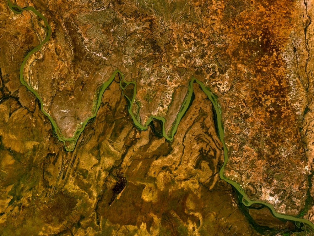
The name is literal: from the air, the Niger River traces a double meander inside this park that spells a legible W. That geographic quirk gives one of West Africa’s most biodiverse ecosystems its quietly memorable identity. Inscribed as a UNESCO World Heritage Site in 2017 as part of the transboundary W-Arly-Pendjari Complex shared with Burkina Faso and Benin, the entire protected area covers approximately 1.4 million hectares of sudano-sahelian to guinean savanna — a gradient of habitats that supports an extraordinary concentration of large mammals across a single contiguous landscape.
The Niger section — the Parc National du W du Niger — forms the northern core zone of 220,000 hectares and sits roughly 150 kilometres southeast of Niamey via Dosso. This is one of the last places in West Africa where the full suite of savanna megafauna survives: African elephant, hippopotamus, West African cheetah, leopard, African wild dog, and approximately 350 recorded bird species. Most significantly, the WAP Complex holds one of the last viable populations of West African lion, a genetically distinct subspecies under severe pressure across the rest of the region. The Mékrou River, flowing south through gallery forest, provides the permanent water that anchors this wildlife through the dry season.
Visiting requires planning: infrastructure inside the park is limited and access is best arranged through licensed operators in Niamey or Dosso. The dry season between November and April offers the clearest wildlife viewing, when animals concentrate around water sources and vegetation thins. The park entrance lies near the Burkina Faso border, and multi-day itineraries crossing into the Arly and Pendjari sections to the south extend the experience considerably.
Getting there: Private vehicle or organised tour from Niamey via the N1 to Dosso then southeast toward Say and the park entrance; no scheduled public transport serves the park gates. Allow: Minimum two days for any meaningful wildlife experience; three to four days recommended for the full cross-border circuit. Best for: Wildlife photographers, conservation-focused travellers, and anyone seeking one of the continent’s least-visited major safari destinations.
Aïr and Ténéré Natural Reserves ~1,000 km northeast · domestic flight to Agadez + road
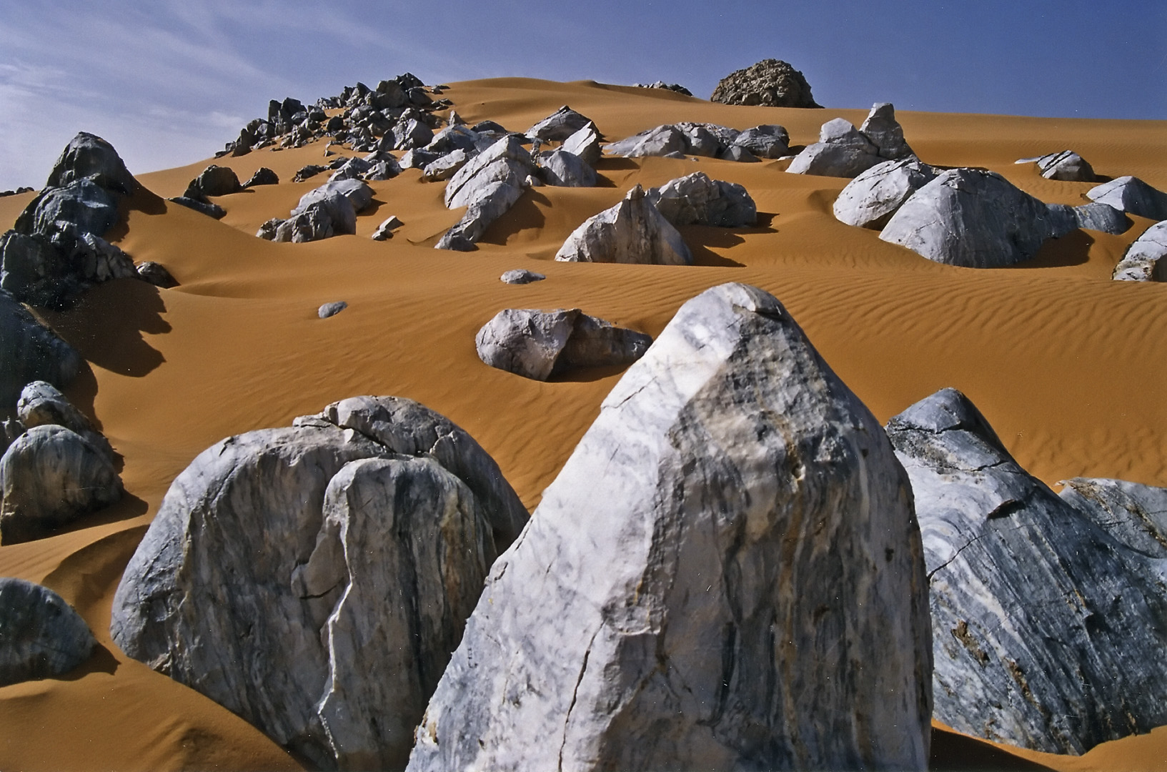
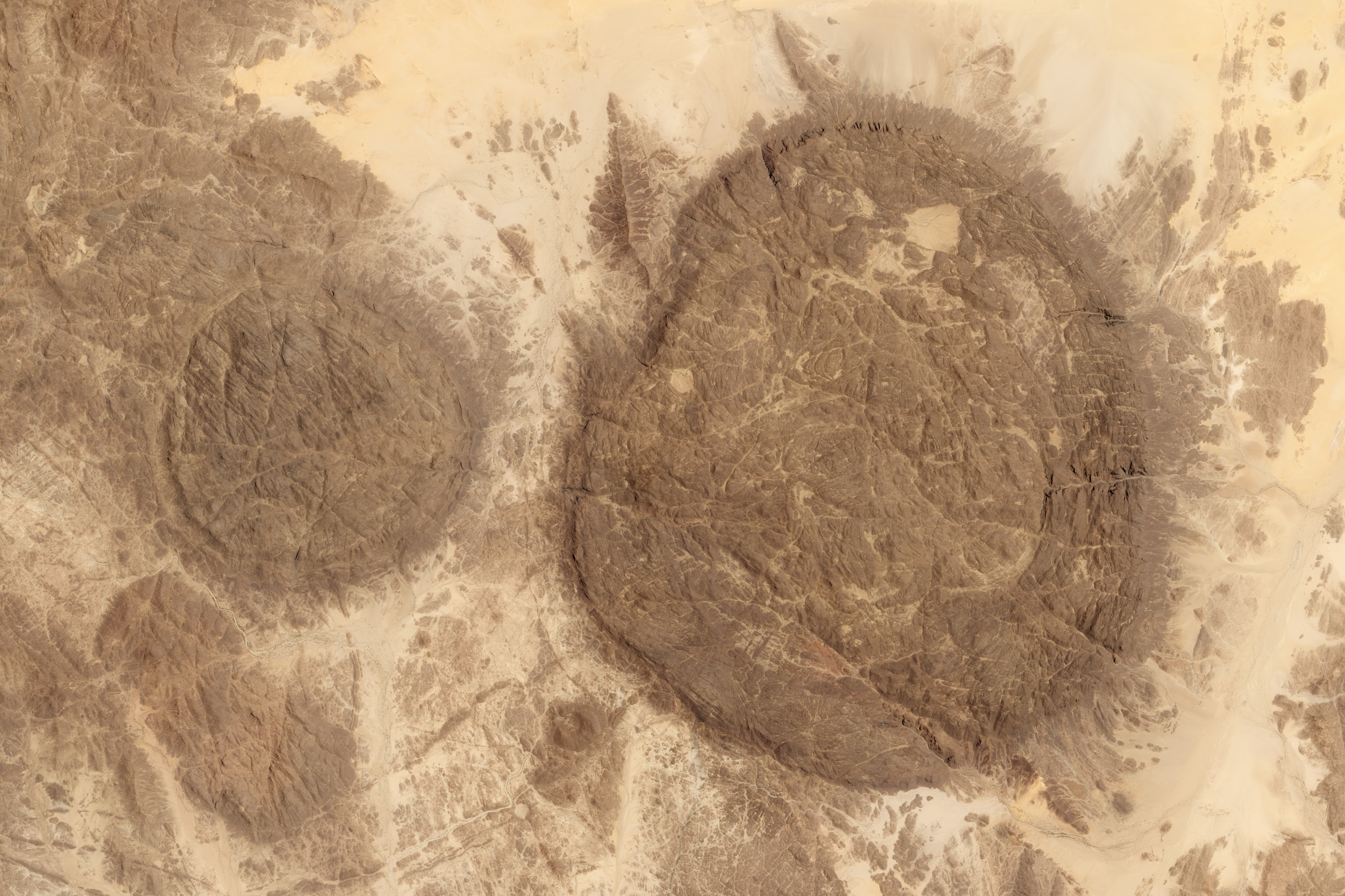
At 7.7 million hectares, the Aïr and Ténéré Natural Reserves constitute one of the largest protected areas on Earth — a territory roughly the size of Ireland combined with Scotland. The inscription in 1991 recognised two profoundly different but adjacent worlds. To the west, the Aïr Mountains: an ancient volcanic massif of ring dikes and granite inselbergs that rise to over 2,000 metres, creating what geologists describe as a chain of islands in a sea of sand. The altitude generates a cooler, wetter microclimate that has sustained plant life, rock art, and human settlement since the Neolithic. Fossil river valleys cross the massif, and the distinctively blue-tinted Montagnes Bleues near Iférouane are among the most dramatic landforms in the Sahara.
To the east lies the Ténéré: one of the most desolate landscapes on the planet. This is the world’s largest uninterrupted sand sea, an erg of shifting dunes stretching into Algeria and Libya where the near-total absence of vegetation creates a horizon of almost geometric purity. The lone Tree of Ténéré — once the most isolated tree on Earth, a solitary acacia that served as a navigation landmark for Tuareg caravans for centuries — stood here until it was destroyed by a truck driver in 1973; its remains are preserved in the Niamey national museum. The reserves support critically endangered addax and dama gazelle, Barbary sheep, desert monitor, and ostrich, alongside the Tuareg communities whose pastoral economy has shaped this landscape for millennia.
The site has been on UNESCO’s List of World Heritage in Danger since 1992 — just one year after inscription — owing to poaching of large mammals and, from the mid-1990s onward, the security consequences of successive Tuareg rebellions and broader regional instability in the Sahel. Access today requires a specialist tour operator, a current security assessment, and coordination with local guides. The region around Agadez has experienced periods of relative calm that have allowed carefully organised expeditions to resume, but conditions change and travellers must verify the situation before committing.
Getting there: Domestic flight from Niamey (Diori Hamani International) to Agadez (Sultan Agadez Airport), approximately 1.5 hours; road travel from Agadez into the reserves with a specialist operator and local guides. Allow: Minimum five to seven days for any substantive visit to the Aïr Mountains; longer for Ténéré expeditions. Best for: Experienced desert travellers, geologists and landscape photographers, and those interested in Tuareg culture and Saharan history — with a strong tolerance for logistical complexity and security uncertainty.
Frequently Asked Questions
How many UNESCO World Heritage Sites are near Niamey?
Two of Niger’s three UNESCO World Heritage Sites are reachable from Niamey: the W-Arly-Pendjari Complex, approximately 150 kilometres southeast by road, and the Aïr and Ténéré Natural Reserves, around 1,000 kilometres to the northeast via Agadez. Niger’s third inscribed site, the Historic Centre of Agadez (2013), is a separate cultural site in the same northern city that serves as the gateway to the Aïr reserves.
Is it safe to visit the Aïr and Ténéré Natural Reserves?
The security situation in northern Niger has been volatile since the 1990s and remains subject to change. The site has been on UNESCO’s List of World Heritage in Danger since 1992, and travel advisories from most Western governments have historically cautioned against non-essential travel to the region. Visits are only advisable through established specialist operators with current, on-the-ground intelligence, and travellers should check their government’s travel advisory immediately before planning any trip.
What is the best time of year to visit W National Park from Niamey?
The dry season, from November through April, is the recommended period for wildlife viewing in W National Park. Animals concentrate around permanent water sources as temporary pools dry up, making sightings of elephant, hippopotamus, and other large mammals more predictable. The park becomes difficult to navigate by vehicle during the rainy season (June to October) when tracks flood and vegetation obscures visibility.
Why is the W National Park named with a single letter?
The park takes its name directly from the shape the Niger River makes as it flows through the protected area. Seen from above, the river executes a double meander — two successive bends — that traces the outline of the letter W. This distinctive topographic feature was noted by early cartographers and the name has remained ever since. The park’s full official designation in the transboundary complex inscribed in 2017 is the W-Arly-Pendjari Complex, with Arly referring to a reserve in Burkina Faso and Pendjari to a national park in Benin.