
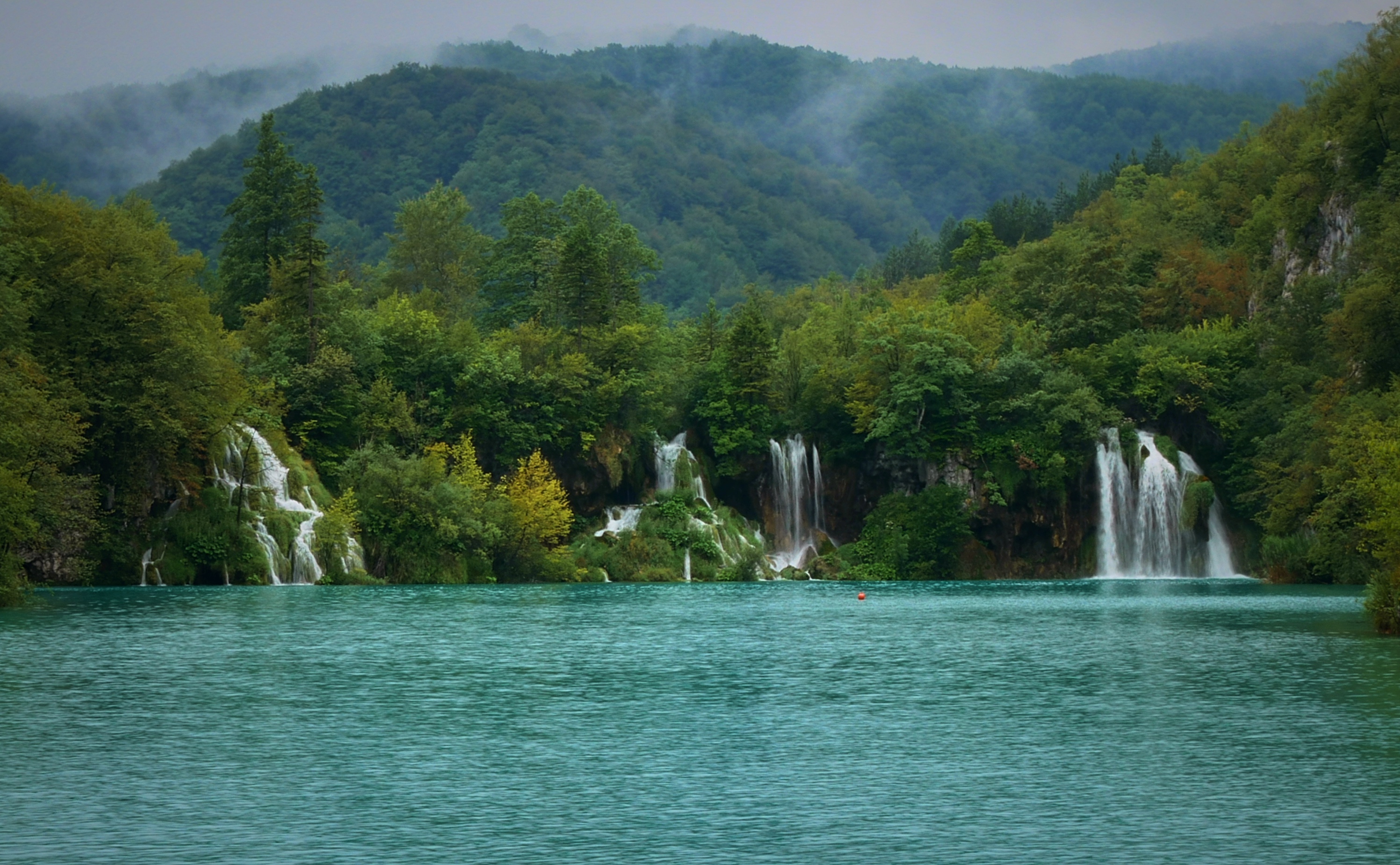
Within two hours of Zagreb, Croatia preserves two UNESCO World Heritage Sites of entirely different character: a karst canyon system whose lakes are still being built by living organisms, and a 2,300-year-old Greek agricultural landscape that has not changed its geometry since antiquity. From Cultural Heritage Online.
Plitvice Lakes National Park 130 km south · 2 hr by road
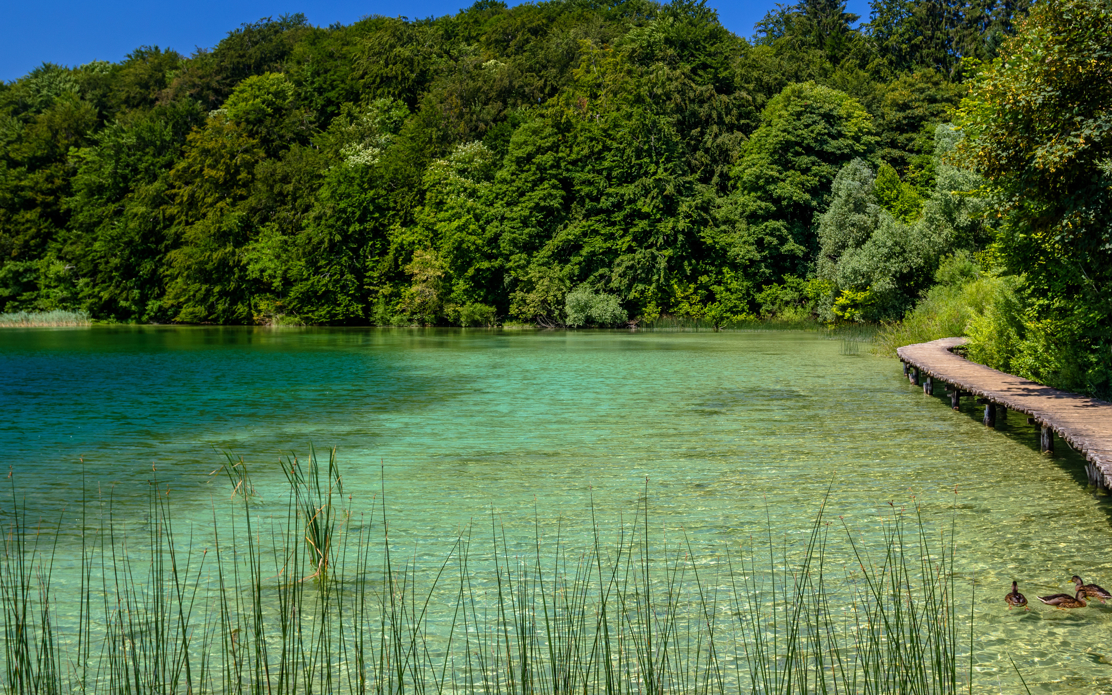
Plitvice Lakes National Park holds sixteen terraced lakes descending through a karst canyon in the Mala Kapela mountains. The colour of the water — a saturated turquoise that shifts toward green or blue depending on the light — comes not from the sky but from the suspended calcium carbonate that algae, moss, and bacteria deposit as travertine. These organisms are not a background detail: they are the architects. Every waterfall barrier in the park is a living structure, and every cascade is a construction site. The system is entirely self-building, continuously rearranging its own plumbing as travertine accumulates in some channels and opens others.
The park was inscribed on the UNESCO World Heritage List in 1979 and extended in 2000. Veliki Slap, the largest waterfall in Croatia at 78 metres, drops from the canyon rim at the lower end of the lake chain. Two route networks traverse the park: wooden boardwalks at water level cross directly over the shallower lakes, giving the impression of walking on the water’s surface, while an upper canyon rim trail offers views across the full terrace system from above. A shuttle boat crosses the deepest lake, Kozjak.
The park receives around 1.5 million visitors a year, which means the boardwalk sections nearest the entrances are congested at midday in summer. The upper trail and the early morning hours before 9:00 offer a different, quieter experience.
Getting there: Direct buses from Zagreb Main Bus Station to Plitvice Lakes, approximately 2 hours; return buses run throughout the day. By car, take the A1 motorway south. Allow: Full day (6–8 hours to cover both upper and lower lake sections). Best for: Travellers with a day free from Zagreb who want wilderness scenery of immediate, verifiable scientific interest.
Stari Grad Plain, Island of Hvar 250 km south by road + 1 hr ferry
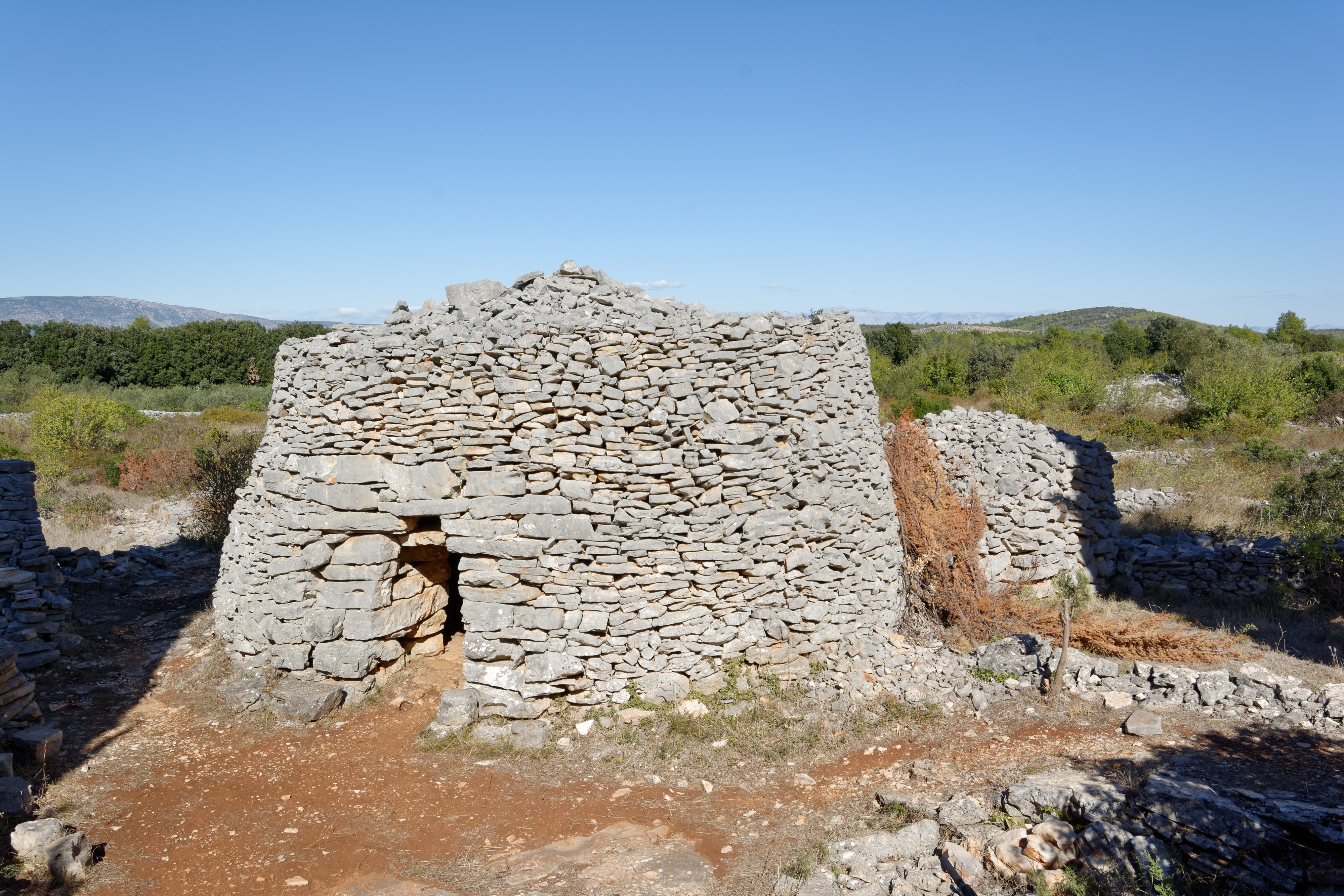
In 384 BC, colonists from the Greek island of Paros established a city called Pharos on the north coast of Hvar. To sustain the colony, they divided the fertile plain behind the town into rectangular allotments — kleros — using a system of dry-stone walls that defined ownership, controlled drainage, and oriented cultivation. That geometry has not been erased. The same walls, the same rectangular plots, the same underlying Greek land survey survive on the ground today, almost entirely intact, still planted with vines and olives.
The Stari Grad Plain was inscribed in 2008 as an exceptional example of a chora — the agricultural territory of an ancient Greek colony — that has remained in continuous agricultural use across 2,300 years of changing rulers, languages, and agricultural techniques. The geometry is visible from the air as a precise grid, and on foot as a network of low dry-stone walls running in parallel lines across the plain. The town of Stari Grad itself sits at the edge of the plain, its old harbour recognisably on the same site as the ancient Pharos.
The ferry crossing from Split to Stari Grad takes one hour on the open Adriatic. Split itself contains the UNESCO-listed Diocletian’s Palace (inscribed 1979), making the southern coast leg worthwhile in its own right even before reaching Hvar.
Getting there: Drive or bus from Zagreb to Split (250 km, approximately 3.5 hours); Jadrolinija car ferry from Split to Stari Grad, 1 hour crossing. Ferries run multiple times daily in summer. Allow: At minimum a full day; an overnight on Hvar makes the plain accessible in the morning before the afternoon ferry back. Best for: Travellers interested in classical antiquity and agricultural landscapes; combines well with Split’s Diocletian’s Palace for a broader Dalmatian heritage day.
Frequently Asked Questions
How many UNESCO World Heritage Sites are near Zagreb?
Croatia has 10 UNESCO World Heritage Sites in total. Two are feasible day trips or short excursions from Zagreb: Plitvice Lakes National Park (inscribed 1979, extended 2000), 130 km south, and the Stari Grad Plain on the island of Hvar (inscribed 2008), reached via Split, 250 km south. Further afield, the Historic City of Trogir (1997) and the Old City of Dubrovnik (1979) lie along the Dalmatian coast and are better combined with a longer journey south.
How do you get from Zagreb to Plitvice Lakes without a car?
Direct buses run daily from Zagreb Main Bus Station (Autobusni kolodvor Zagreb) to Plitvice Lakes National Park. Journey time is approximately two hours each way. Buses depart from early morning and return services run through the afternoon and evening, making a day trip straightforward without a car. No train connection exists to the park.
What is the best season to visit Plitvice Lakes and Stari Grad?
Plitvice Lakes is accessible year-round. Spring (April–May) brings high water flow and vivid colour after winter snowmelt, with moderate crowds. Summer (June–August) is the busiest period — the boardwalks are crowded by midday, so an early start is essential. Winter visits offer snow-covered forest and frozen cascades, with lower lake sections sometimes closed. Stari Grad Plain is best visited spring through autumn when the vines and olives are in leaf; summer ferry services are most frequent and the crossing most reliable.
Why has the Stari Grad Plain survived unchanged for 2,300 years?
The plain’s survival is partly geographic and partly legal. The island’s rugged terrain directed agricultural development onto the flat interior, leaving the original chora in continuous use rather than being cleared for other purposes. The Greek kleros system proved practical enough that each subsequent generation of cultivators — Roman, Venetian, Croatian — maintained the dry-stone boundaries rather than replacing them. The boundaries also carried legal weight in land tenure disputes over centuries, giving landowners an incentive to preserve them. UNESCO inscription formalised protections that the landscape had, in effect, already earned through 23 centuries of uninterrupted use.



.jpg)