
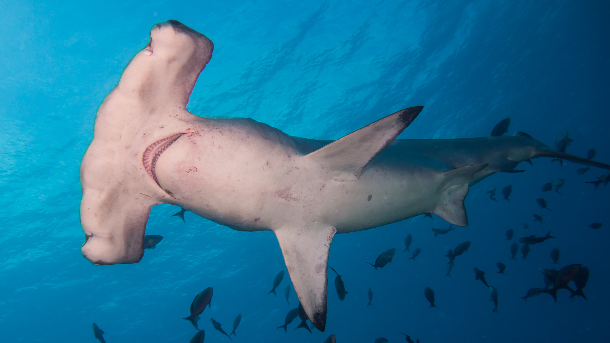
Costa Rica places two UNESCO World Heritage Sites within reach of San José: a remote oceanic island where hundreds of hammerhead sharks school in open water, and an archaeological puzzle of near-perfect stone spheres carved by a civilization the world barely knows. From Cultural Heritage Online.
Precolumbian Chiefdom Settlements with Stone Spheres of the Diquís 240 km south — 3 hr by road
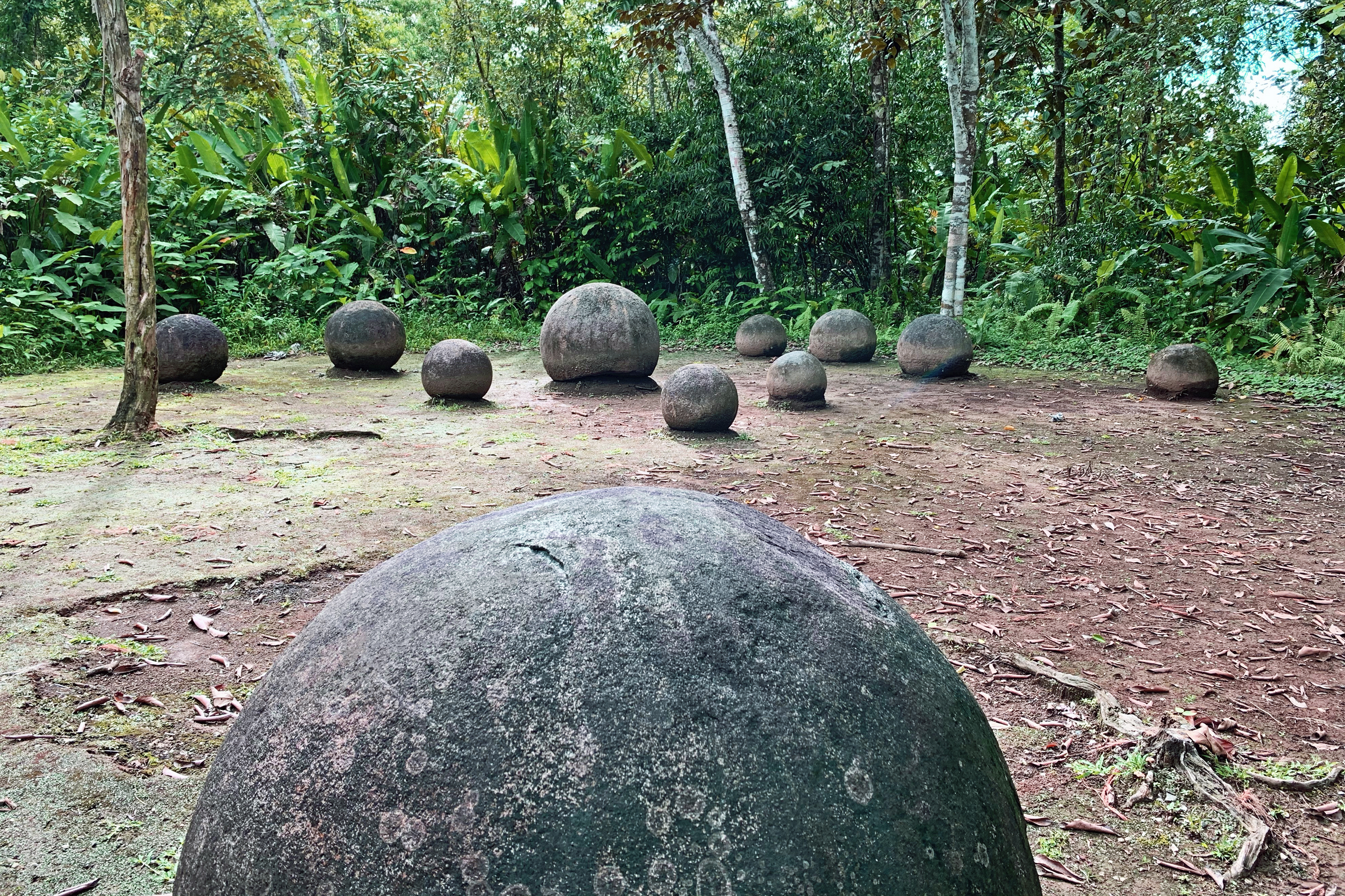
The Diquís Delta, a broad alluvial plain where the Térraba River meets the Pacific coastal lowlands, holds one of the most unusual bodies of evidence in the archaeology of the Americas. Hundreds of stone spheres — carved from granodiorite, a coarse-grained igneous rock — lie scattered across four protected sites near the town of Palmar Sur. They range from 7 centimetres to 2.57 metres in diameter and reach weights of up to 16 tonnes. The largest are geometrically near-perfect: independent measurements have found deviations from true sphericity of less than two percent.
The spheres were produced by the Diquís people between approximately 600 and 1500 AD, a chiefdom society whose political and ritual organisation left few written records. At Finca 6 — the main accessible site, now operated as an open-air museum by the National Museum of Costa Rica — spheres survive in their original documented positions on the plazas in front of elite residential structures. The geometric arrangements they form (lines, triangles, L-shapes) suggest they functioned as markers of status, territory, or cosmological order, though no interpretation has achieved scholarly consensus. The carving technique, applied to hard rock using only stone tools, has no direct parallel in pre-Columbian culture elsewhere in the Americas. When United Fruit Company workers cleared the Diquís Delta for banana cultivation in the 1940s, bulldozers displaced or destroyed hundreds of spheres. Dozens ended up as garden ornaments in private homes across Costa Rica; fewer than 15 remain in positions with a continuous, documented archaeological record.
The UNESCO inscription in 2014 covers four sites — Finca 6, El Silencio, Batambal, and Grijalba-2 — under the category of Precolumbian Chiefdom Settlements. Finca 6 is the only one open to the public with guided access. The on-site museum contextualises the spheres within Diquís social structure and presents ceramic assemblages from the same occupation layers, providing the closest thing available to a biography of the people who made them.
Getting there: Drive south from San José on the Costanera Sur (Route 34) to Palmar Sur, approximately 240 km (3 hours under normal conditions). Buses operate from San José’s Tracopa terminal. Finca 6 is signposted from the main road. Allow: Half a day at the site; a full day with travel. Best for: Archaeology and pre-Columbian history; travellers combining the site with the Osa Peninsula or Corcovado National Park.
Cocos Island National Park 550 km southwest — 36 hr by boat from Puntarenas
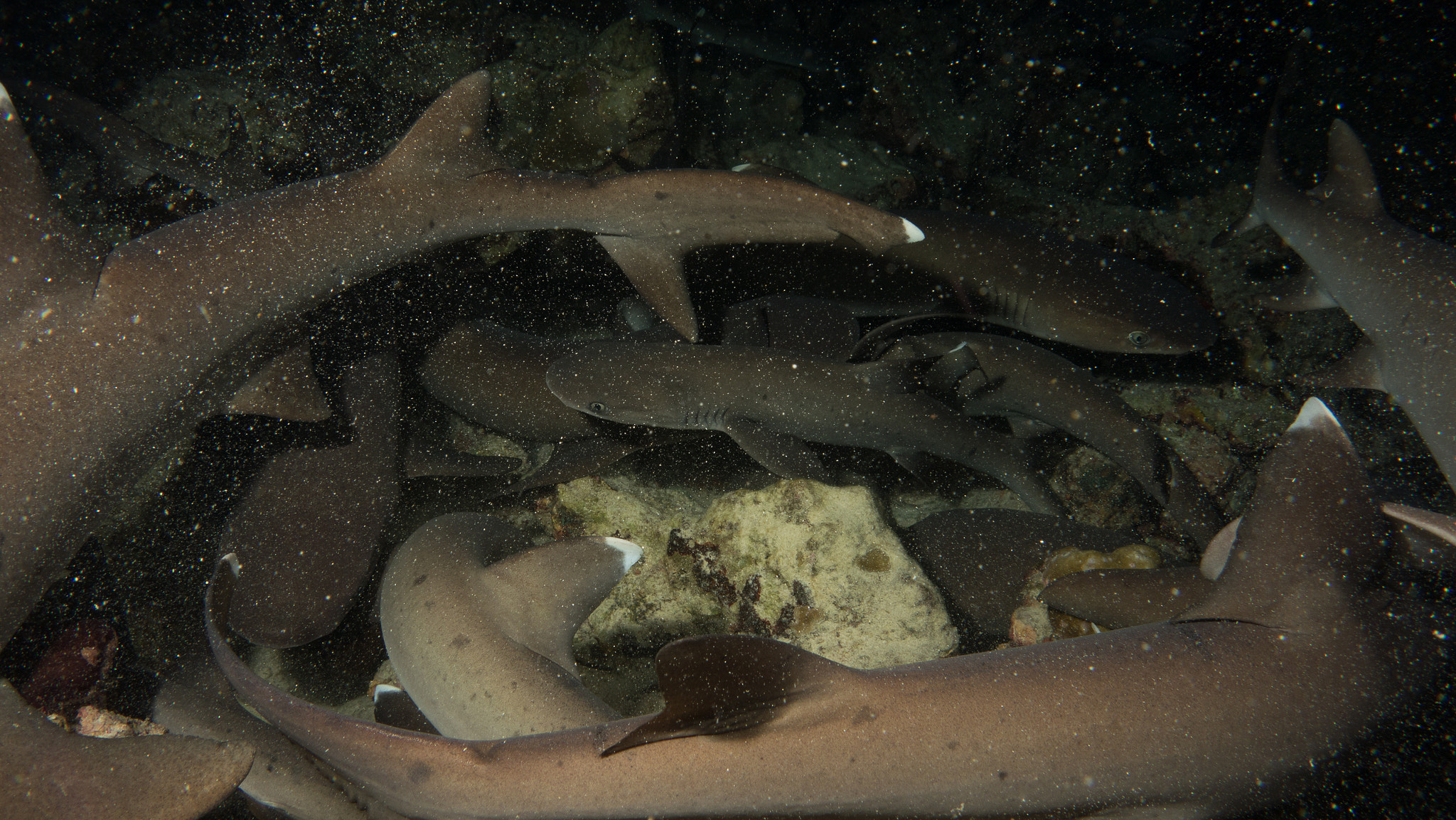
Cocos Island rises from the deep floor of the Eastern Tropical Pacific approximately 550 kilometres southwest of the Costa Rican mainland. The island covers 24 square kilometres of mountainous terrain blanketed in tropical rainforest — one of the few genuine oceanic islands in the Pacific, meaning it was never connected to a continental landmass and all its terrestrial life arrived by dispersal across open water. The island sits within a convergence zone of four major ocean currents, creating an upwelling of cold, nutrient-rich water that sustains an exceptional density of marine life. Annual rainfall reaches approximately 7,000 millimetres, and the runoff feeds dozens of waterfalls that fall directly into the sea.
UNESCO inscribed Cocos Island in 1997, extending the protected marine zone in 2002 to include a 12-nautical-mile exclusion area. The inscription recognised the island’s value as a meeting point for pelagic species that gather here in numbers rarely observed anywhere else on Earth. Scalloped hammerhead sharks (Sphyrna lewini) school in aggregations of several hundred individuals along the submerged seamounts; whale sharks, giant mantas, bottlenose dolphins, and green turtles are regular presences in the open-water columns around the island. Experienced divers consistently rank Cocos among the best dive destinations in the world for pelagic encounters, particularly at sites like Dirty Rock, Manuelita, and Alcyone.
The island carries a secondary reputation built almost entirely from rumour: it is one of the most frequently cited locations for buried pirate and colonial-era treasure in the Caribbean and Pacific tradition. The most persistent story involves the so-called Lima Treasure — gold, silver, and religious objects supposedly removed from Lima in 1820 ahead of the city’s fall to independence forces and hidden somewhere on the island. No verified discovery has ever been made, but the legend attracted hundreds of expeditions across the nineteenth and twentieth centuries, including one backed by Franklin D. Roosevelt in 1935. The island has had no permanent human settlement since the last ranger stations were reinforced; all visits require a permit, and anchoring is restricted to designated zones.
Getting there: Drive or take a bus from San José to the port of Puntarenas (2 hr), then board a licensed liveaboard diving vessel for the 36-hour crossing. No airstrip exists on the island. All visitors must hold a valid diving permit and travel with an authorised operator; independent landings are not permitted. Allow: A minimum 8-day liveaboard trip is standard — 36 hours each way leaves 4–5 days of diving. Best for: Advanced and technical divers seeking pelagic encounters; marine biologists and conservationists.
Frequently Asked Questions
How many UNESCO World Heritage Sites are near San José, Costa Rica?
Costa Rica has four UNESCO World Heritage Sites in total. Two are accessible from San José: the Precolumbian Chiefdom Settlements with Stone Spheres of the Diquís (240 km south, reached by road in about 3 hours) and Cocos Island National Park (550 km offshore, reached by liveaboard vessel in 36 hours from the port of Puntarenas). The other two Costa Rican UNESCO sites — Area de Conservación Guanacaste and the La Amistad International Park shared with Panama — are located in different regions of the country.
Can you visit Cocos Island without being a diver?
In practice, no. The island has no accommodation, no airstrip, and no facilities for non-diving visitors. All permitted access arrives by liveaboard diving vessel. Non-divers occasionally join trips as snorkellers, but the primary draw — schools of hammerhead sharks and other pelagic species — is only reliably encountered at depth. The 36-hour ocean crossing in open Pacific water also makes casual day-trip visits impossible.
What is the best time of year to visit the Diquís Stone Spheres and Cocos Island?
The Diquís Delta and the Osa Peninsula are accessible year-round, but the dry season (December to April) makes road travel more reliable and the sites more comfortable to explore on foot. Cocos Island is also visited year-round by liveaboard operators, though the ocean crossing can be rough from May to November during Pacific storm season. Hammerhead aggregations are reported in every month; whale shark sightings peak roughly between June and November, when the upwelling around the island intensifies.
Who made the Diquís Stone Spheres, and why?
The spheres were carved by the Diquís, a chiefdom society that inhabited the Pacific coastal lowlands of present-day Costa Rica between approximately 600 and 1500 AD. Very little is known about them: they left no writing system, and their oral traditions were not recorded before Spanish contact disrupted the region in the sixteenth century. Archaeologists have established that the spheres were placed on plazas in front of elite residential structures, in geometric arrangements that may have indicated social rank, territorial boundaries, or astronomical alignments — but no single explanation commands consensus. What is unambiguous is the technical achievement: producing near-perfect spheres from hard granodiorite using only stone tools, at scales reaching 2.57 metres in diameter, required sustained collective organisation and a level of mathematical intuition that has no parallel in the pre-Columbian Americas.

.jpeg)

.jpeg)