
Khangchendzonga National Park
India’s first mixed natural and cultural UNESCO World Heritage site, protecting pristine alpine ecosystems and sacred landscapes around the world’s third-highest mountain.
At a glance
Khangchendzonga National Park encompasses 1,784 square kilometres of remote Himalayan terrain in Sikkim, anchored by Kangchenjunga—the third-highest peak in the world at 8,586 metres. The park integrates conservation of biodiversity with recognition of cultural and spiritual values held by local communities.
History
The park was established as a national park and designated part of the Khangchendzonga Biosphere Reserve. In July 2016, UNESCO inscribed it as a World Heritage Site, marking a watershed moment: it became India’s first site to be recognised under the mixed criteria, combining natural and cultural heritage. It was simultaneously included in UNESCO’s Man and the Biosphere Programme.
What you see
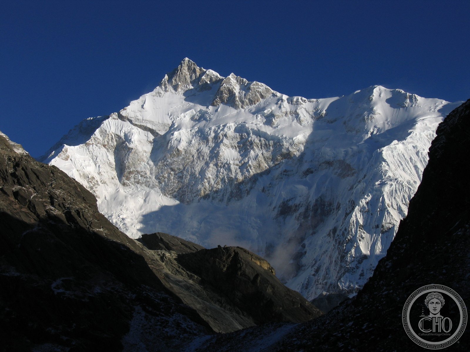
The landscape is defined by dramatic alpine topography dominated by Kangchenjunga’s snowcapped massif. Glaciers, high-altitude wetlands, and pristine forests characterise the terrain. The park protects diverse ecosystems across elevation zones, from temperate woodlands to barren peaks and tundra-like meadows.
Cultural significance
The mountain and surrounding landscape hold profound spiritual meaning for local Sikkimese communities. The mixed heritage designation reflects recognition that conservation here cannot be separated from indigenous practices and beliefs. The site honours both ecological and cultural knowledge systems.
Key facts
- Location: Sikkim, India
- Coordinates: 27.656°N, 88.312°E
- Total area: 1,784 km²
- Highest peak: Kangchenjunga, 8,586 m
- UNESCO World Heritage Site: inscribed July 2016 (mixed criteria)
- UNESCO Man and the Biosphere Programme: yes
Practical information & getting there
The park remains remote and largely inaccessible to casual visitors. Access is restricted and requires permits. Contact Sikkim Tourism or the Khangchendzonga National Park administration for current entry conditions and trekking guidelines.
Sources & resources
Find it on the map
See this place and what’s around it →📷 Diventa un fotografo di Cultural Heritage Online
Condividi le tue foto dei luoghi: restano pubblicate con la tua firma come autore. Più vengono viste, più ti fai conoscere — e presto un concorso premierà le foto più apprezzate.
Accedi o registrati gratis per aggiungere una foto