

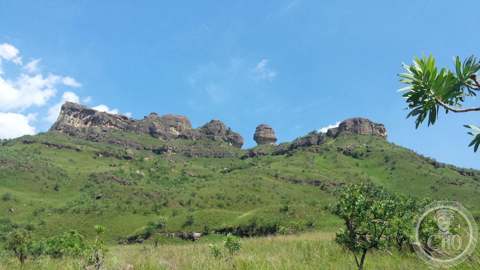
A vast protected landscape of soaring basalt cliffs and golden sandstone ramparts, home to Africa’s largest concentration of ancient rock art and a sanctuary for endemic species.
At a glance
uKhahlamba-Drakensberg Park spans 2,428 square kilometres across KwaZulu-Natal, encompassing Royal Natal National Park and part of the Drakensberg escarpment—southern Africa’s highest mountain range. The park forms the South African portion of the Maloti-Drakensberg transnational World Heritage Site, which extends into neighbouring Lesotho.
History
The Maloti-Drakensberg Park was designated a UNESCO World Heritage Site on 30 November 2000. The rock shelters and caves within the park preserve a remarkable artistic legacy: parietal art that may date back 40,000 to 100,000 years, representing the largest and most concentrated group of paintings in Africa south of the Sahara.
What you see
The landscape is defined by dramatic geological formations—towering basaltic buttresses, sharp escarpment cutbacks, and golden sandstone walls that rise with exceptional grandeur. Numerous caves and rock shelters punctuate the terrain, their walls adorned with ancient paintings that speak to millennia of human presence.
Cultural significance
UNESCO recognizes the park for its dual importance: exceptional natural beauty combined with extraordinary cultural heritage. The diversity of habitats protects numerous endemic and globally threatened species, particularly birds and plants. The ancient rock art provides irreplaceable evidence of human artistic expression and spiritual life across tens of thousands of years.
Key facts
- Location: KwaZulu-Natal, South Africa
- Area: 2,428.13 km² (938 sq mi)
- Coordinates: –29.38°S, 29.54°E
- UNESCO World Heritage Site (part of Maloti-Drakensberg Park, designated 2000)
- Includes Royal Natal National Park
Practical information & getting there
The park is accessible from major centres in KwaZulu-Natal. Regional development plans include infrastructure improvements such as a proposed cable car project by the provincial Economic Development, Tourism, and Environmental Affairs Department. For current visitor information, opening hours, and access conditions, consult official park resources.
Sources & resources
Find it on the map
See this place and what’s around it →📷 Become a Cultural Heritage Online photographer
Share your photos of places: they stay published under your name as the author. The more they're seen, the more you get noticed — and soon a contest will reward the most appreciated photos.
Log in or sign up free to add a photo